Wolf Creek in Josephine County, Oregon — The American West (Northwest)
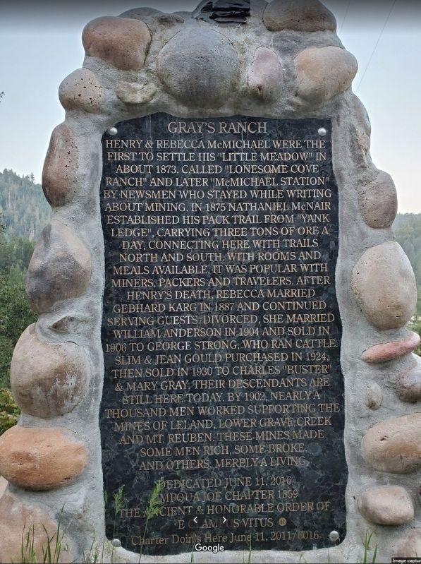
Gray's Ranch
Henry & Rebecca McMichael were the first to settle this "little meadow” in about 1873. Called "Lonesome Cove Ranch” and later "McMichael Station" by newsmen who stayed while writing about mining. In 1875 Nathaniel McNair established his pack trail from "Yank Ledge", carrying three tons of ore a day, connecting here with trails north and south. With rooms and meals available, it was popular with miners, packers and travelers. After Henry's death, Rebecca married Gebhard Karg in 1887 and continued serving guests. Divorced, she married William Anderson in 1904 and sold in 1906 to George Strong, who ran cattle. Slim & Jean Gould purchased in 1924, then sold in 1930 to Charles "Buster" & Mary Gray. Their descendants are still here today. By 1902, nearly a thousand men worked supporting the mines of Leland, Lower Grave Creek and Mt. Reuben. These mines made some men rich, some broke, and others, merely a living.
Dedicated June 11, 2016.
Umpqua Joe Chapter 1859
The Ancient & Honorable Order of E Clampus Vitus o charter doin's here june 11, 2011/8016.
Erected 2011 by E Clampus Vitus, Umpqua Joe Chapter 1859.
Topics and series. This historical marker is listed in this topic list: Notable Places. In addition, it is included in the E Clampus Vitus series list. A significant historical year for this entry is 1873.
Location. 42° 38.687′ N, 123° 29.976′ W. Marker is in Wolf Creek, Oregon, in Josephine County. Marker is on Lower Grave Creek Road, on the left when traveling south. Marker is located south of the Gray's Ranch Lookout. Touch for map. Marker is in this post office area: Wolf Creek OR 97497, United States of America. Touch for directions.
Other nearby markers. At least 8 other markers are within 7 miles of this marker, measured as the crow flies. Applegate Trail - Grave Creek (approx. 6.2 miles away); Grave Creek Ranch (approx. 6.2 miles away); The Applegate Trail (approx. 6.2 miles away); a different marker also named The Applegate Trail (approx. 6.3 miles away); "Grave Creek" (approx. 6.3 miles away); Wolf Creek Tavern (approx. 6.3 miles away); Early Traveler Accommodations (approx. 6.3 miles away); Feeble, Hungry, and Haggard (approx. 6.3 miles away). Touch for a list and map of all markers in Wolf Creek.
Credits. This page was last revised on July 4, 2021. It was originally submitted on June 2, 2021, by Adam Filippone of Central Point, Oregon. This page has been viewed 514 times since then and 67 times this year. Photo 1. submitted on June 2, 2021, by Adam Filippone of Central Point, Oregon. • Syd Whittle was the editor who published this page.
Editor’s want-list for this marker. Wide area view of the marker and its surroundings. • Can you help?
