Copley in Lewis County, West Virginia — The American South (Appalachia)
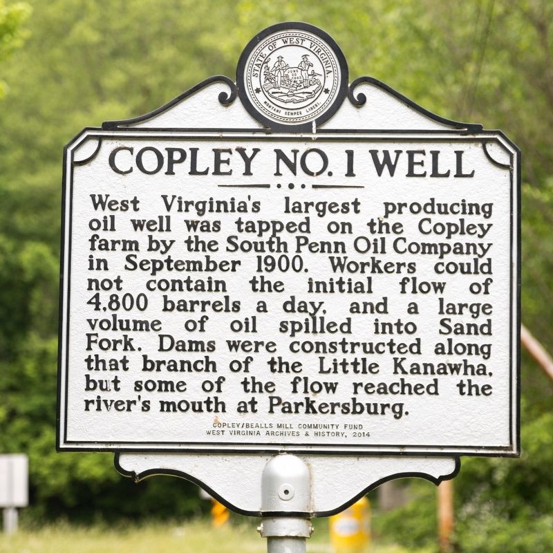
Copley No. 1 Well
Erected 2014 by Copley/Bealls Mill Community Fund, and West Virginia Archives & History.
Topics. This historical marker is listed in these topic lists: Industry & Commerce • Natural Resources. A significant historical month for this entry is September 1900.
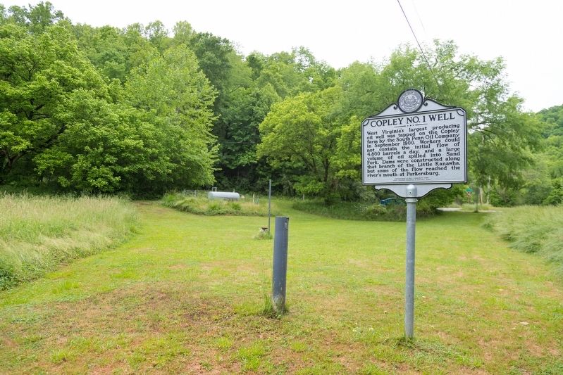
Location. 38° 58.158′ N, 80° 38.891′ W. Marker is in Copley, West Virginia, in Lewis County. Marker is at the intersection of Copley Road (County Route 17) and Cove Lick Road (County Route 18), on the right when traveling west on Copley Road. It is 9 miles west of U.S. 19. Touch for map. Marker is at or near this postal address: 9008 Cove Lick Rd, Weston WV 26452, United States of America. Touch for directions.
Other nearby markers. At least 8 other markers are within 9 miles of this marker, measured as the crow flies. Purple Heart Memorial (approx. 4.8 miles away); Braxton County / Gilmer County (approx. 7.1 miles away); Raid on Troy (approx. 7.2 miles away); Town of Burnsville (approx. 7.6 miles away); Burnsville Bridge (approx. 7.9 miles away); Duck Run Cable Suspension Bridge (approx. 8 miles away); Stagecoach Stop (approx. 8˝ miles away); Pierson’s Rangers (approx. 8.8 miles away).
More about this marker. It is across the road from the Little Kanawha River at the confluence of Sand Fork.
Credits. This page was last revised on June 2, 2021. It was originally submitted on June 2, 2021, by J. J. Prats of Powell, Ohio. This page has been viewed 298 times since then and 65 times this year. Photos: 1, 2. submitted on June 2, 2021, by J. J. Prats of Powell, Ohio.

