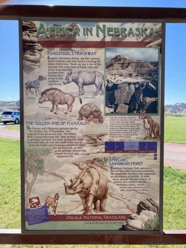
Africa in Nebraska
Toadstool’s Trackway
Imagine miniature rhinos, pig-like animals, giant tortoises, and tiny horses traveling the plains before you. These are just a few of the animals that came here to hunt, rest, and drink from the wide shallow river, leaving their prints in the sandbars and shores.
The Golden Age of Mammals
The Eocene and Oligocene geologic epochs
- The Golden Age of Mammals - are
magnificiently preserved here. The White
River Group represents the "type section,"
or geologic standard, for rocks during this time.
Scientists from all over the world come here to
study the fossils and trackways contained within
the ancient rock, as well
as the geologic history that
shaped the land and
supported life.
African Savanna Here?
Toadstool Geologic Park captures a
slice of life when Nebraska resembled
the savannahs of Africa and supported
an abundance of wildlife. In time,
these animals became extinct, or
evolved into modern species,
including zebras, camels,
horses, and rhinoceroses,
after migrating to Africa.
Captions:
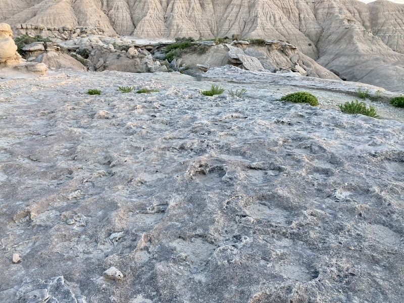
Note the trackways created by
prehistoric animals in this photo.
As the softer deposits eroded
underneath the tracks, the trackway broke and fell into the ravine. The
majority of these tracks were made
by the subhyracodon.
Tracks from
hyrachodons, enteledonts, and
stylemys with a scattering of cat
tracks can also be found.
All fossil collecting in the
Toadstool Special Interest
Area is prohibited by law
and subject to fines and
penalties. Collection of
vertebrate fossils outside
of Toadstool on public lands
is also prohibited.
Erected by Forest Service, U.S. Department of Agriculture.
Topics. This historical marker is listed in these topic lists: Animals • Paleontology.
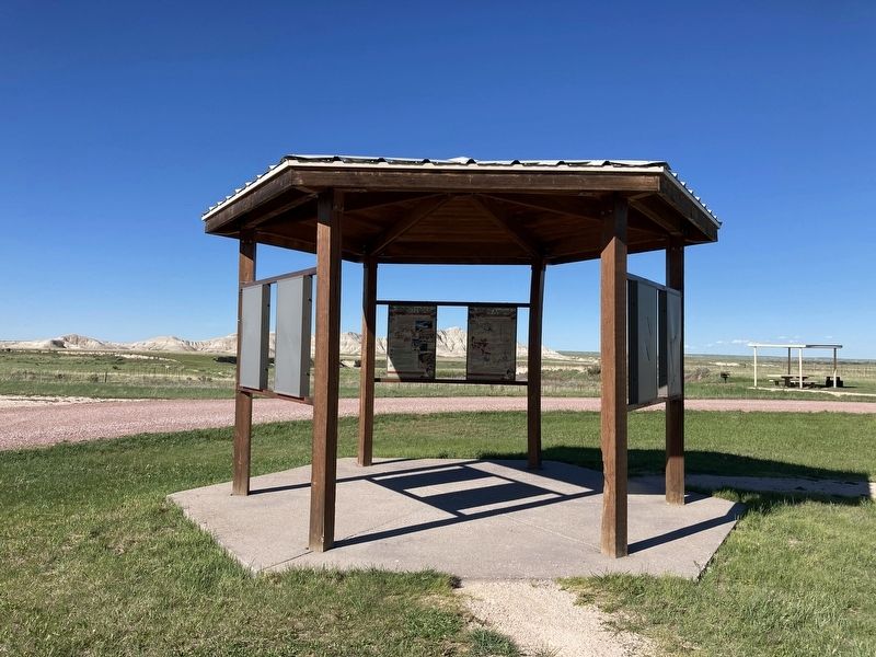
Location. 42° 51.476′ N, 103° 35.048′ W. Marker is near Crawford, Nebraska, in Dawes County. Marker is on Forest Road 902, 1.4 miles west of Toadstool Road, on the right when traveling west. The marker stands in Toadstool Geologic Park and Campground. Touch for map. Marker is in this post office area: Harrison NE 69346, United States of America. Touch for directions.
Other nearby markers. At least 8 other markers are within 15 miles of this marker, measured as the crow flies. Landscape in Layers (here, next to this marker); Grassroots (here, next to this marker); Toadstool (here, next to this marker); The Innovation of Early Homesteaders (about 400 feet away, measured in a direct line); Yellow Hand Monument (approx. 8.6 miles away); Battle of Warbonnet Creek Monument (approx. 8.8 miles
Credits. This page was last revised on June 8, 2021. It was originally submitted on June 2, 2021, by Connor Olson of Kewaskum, Wisconsin. This page has been viewed 246 times since then and 35 times this year. Photos: 1, 2, 3. submitted on June 2, 2021, by Connor Olson of Kewaskum, Wisconsin. • Devry Becker Jones was the editor who published this page.


