Near Cairo in Alexander County, Illinois — The American Midwest (Great Lakes)
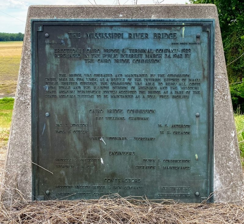
The Mississippi River Bridge
Cairo, Illinois - Birds Point, Missouri
— Erected by the Cairo Bridge & Terminal Company - 1929 —
Purchased in the public interest March 24, 1942 by the Cairo Bridge Commission
The bridge was operated and maintained by the commission until May 22, 1954 when, as a result of the untiring efforts of many public spirited citizens, the commission was able to repay all costs from tolls and the Illinois Division of Highways and Missouri State Highway Department jointly accepted the bridge as a part of the State Highway Systems to be maintained as a toll free facility.
Erected by Cairo Bridge Commission.
Topics. This historical marker is listed in these topic lists: Bridges & Viaducts • Charity & Public Work. A significant historical year for this entry is 1929.
Location. 36° 59.173′ N, 89° 9.018′ W. Marker is near Cairo, Illinois, in Alexander County. Marker is on Ohio River Scenic Byway (U.S. 62) 0.1 miles south of Fort Defiance Road, on the right when traveling west. Marker is located across from the entrance to Fort Defiance Park, near the Mississippi River Bridge. Touch for map. Marker is at or near this postal address: 2130 Ohio River Scenic Byway, Cairo IL 62914, United States of America. Touch for directions.
Other nearby markers. At least 8 other markers are within walking distance of this marker. Cairo, Illinois (about 400 feet away, measured in a direct line); Critical River Confluence (about 500 feet away); Cairo Connection (about 500 feet away); Lewis & Clark (about 500 feet away); Historical Survey Marker (about 500 feet away); Lewis and Clark in Illinois (about 500 feet away); Great River Road Illinois (about 600 feet away); The Ohio River Bridge (approx. 0.2 miles away). Touch for a list and map of all markers in Cairo.
More about this marker. To access the marker, park at the paved parking lot near the exhibit kiosks and entrance to Fort Defiance Park. Carefully cross to the opposite side of US Highway 60, and you will see the marker to your left. Beware of fast-moving traffic on US 60.
Credits. This page was last revised on June 8, 2021. It was originally submitted on June 2, 2021, by Shane Oliver of Richmond, Virginia. This page has been viewed 285 times since then and 35 times this year. Photos: 1, 2. submitted on June 2, 2021, by Shane Oliver of Richmond, Virginia. • Devry Becker Jones was the editor who published this page.

