Clarksburg in Harrison County, West Virginia — The American South (Appalachia)
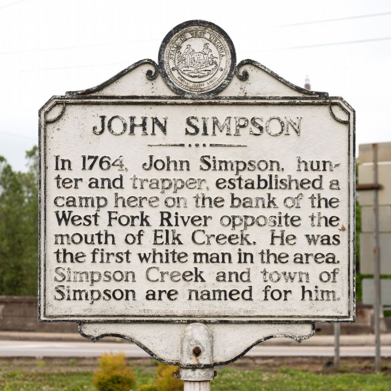
John Simpson
Erected 1965 by West Virginia Historic Commission.
Topics. This historical marker is listed in this topic list: Settlements & Settlers. A significant historical year for this entry is 1764.
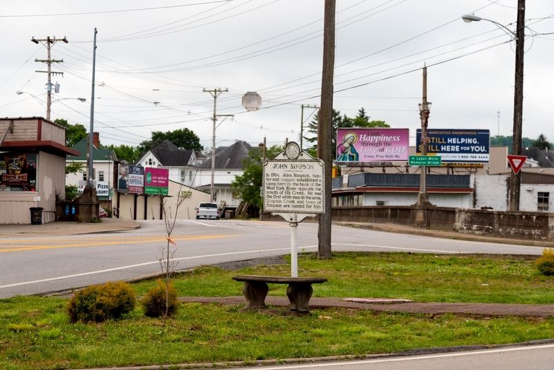
Location. 39° 16.935′ N, 80° 21.07′ W. Marker is in Clarksburg, West Virginia, in Harrison County. Marker is at the intersection of West Pike Street (U.S. 19) and Milford Street (U.S. 19), in the median on West Pike Street. Across from the marker, Milford Street crosses the West Fork at the mouth of Elk Creek. Touch for map. Marker is at or near this postal address: 7 Milford St, Clarksburg WV 26301, United States of America. Touch for directions.
Other nearby markers. At least 8 other markers are within walking distance of this marker. Daniel Davisson Chapter NSDAR (approx. 0.3 miles away); Daniel Davisson DAR Cemetery (approx. 0.3 miles away); Daniel Davisson (approx. 0.3 miles away); Waldomore / Nathan Goff (approx. 0.6 miles away); Stonewall Jackson Birthplace (approx. 0.6 miles away); Thomas J. (Stonewall) Jackson Birthplace (approx. 0.6 miles away); The Immigrants (approx. 0.7 miles away); Combat Wounded (approx. 0.7 miles away). Touch for a list and map of all markers in Clarksburg.
Related markers. Click here for a list of markers that are related to this marker. This lists both John Simpson markers.
Credits. This page was last revised on June 3, 2021. It was originally submitted on June 3, 2021, by J. J. Prats of Powell, Ohio. This page has been viewed 190 times since then and 43 times this year. Photos: 1, 2. submitted on June 3, 2021, by J. J. Prats of Powell, Ohio.

