Bosart Brown in Indianapolis in Marion County, Indiana — The American Midwest (Great Lakes)
Brown’s Corner
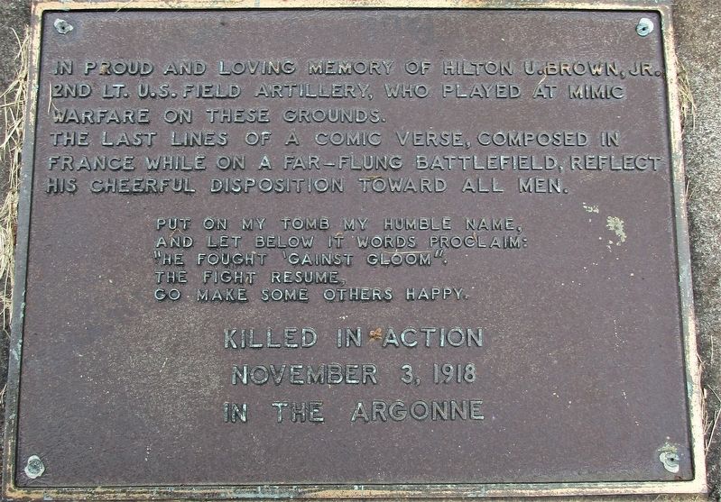
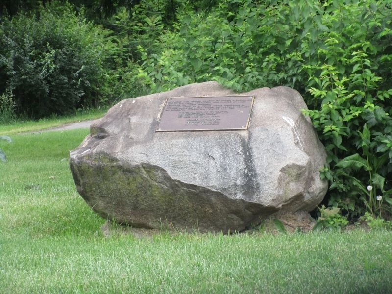
Cenotaph of 2nd Lt. Hilton Utimus Brown, Jr.
In proud and loving memory of Hilton U. Brown, Jr. 2nd LT. U.S. Field Artillery. Who played at Mimic Warfare on these grounds.
The last lines of comic verse, composed in France while on a far-flung battlefield, reflect his cheerful disposition toward all men.
Put on my tomb my humble name
and let below these words proclaim:
“He fought against gloom”.
The fight resume,
go, make some others happy.
November 3, 1918
in the Argonne
Topics. This memorial is listed in these topic lists: Arts, Letters, Music • War, World I. A significant historical date for this entry is November 3, 1918.
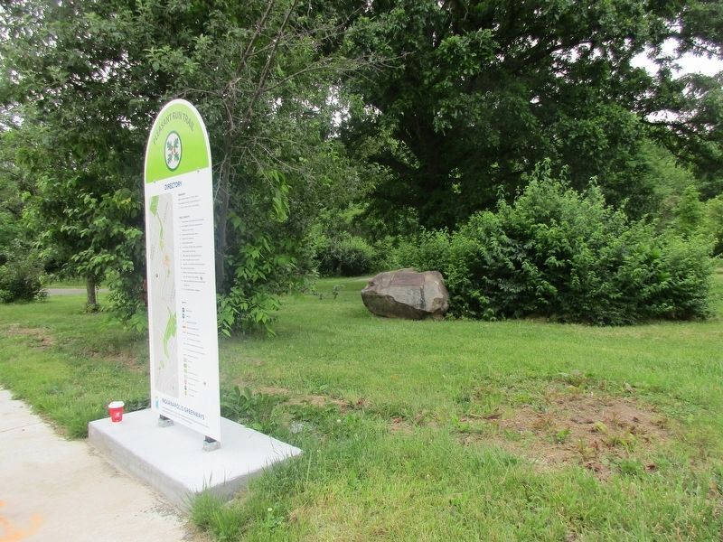
Location. 39° 46.219′ N, 86° 4.999′ W. Marker is in Indianapolis, Indiana, in Marion County. It is in Bosart Brown. Memorial is at the intersection of East Washington Street (U.S. 40) and Emerson Avenue, on the right when traveling west on East Washington Street. The marker is in Brown’s Corner Park. Touch for map. Marker is at or near this postal address: 5050 E Washington St, Indianapolis IN 46201, United States of America. Touch for directions.
Other nearby markers. At least 8 other markers are within walking distance of this marker. William Forsyth (within shouting distance of this marker); Carlos & Anne Recker House (approx. 0.3 miles away); Butler College Campus Site (approx. 0.4 miles away); Sigma Gamma Rho (approx. 0.4 miles away); Historic National Road (approx. 0.6 miles away); Marion County Girl Scouts (approx. 0.6 miles away); Grace Julian Clarke (approx. 0.7 miles away); Washington Irving (approx. ¾ mile away). Touch for a list and map of all markers in Indianapolis.
Credits. This page was last revised on February 4, 2023. It was originally submitted on June 5, 2021, by Rev. Ronald Irick of West Liberty, Ohio. This page has been viewed 220 times since then and 33 times this year. Photos: 1, 2, 3. submitted on June 5, 2021, by Rev. Ronald Irick of West Liberty, Ohio. • Devry Becker Jones was the editor who published this page.


