Johnson City in Washington County, Tennessee — The American South (East South Central)
Story of the Tweetsie
The Tweetsie Trail
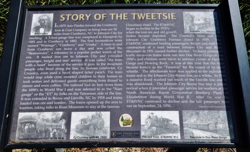
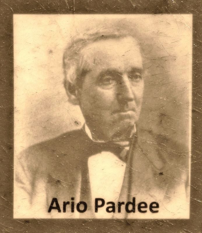
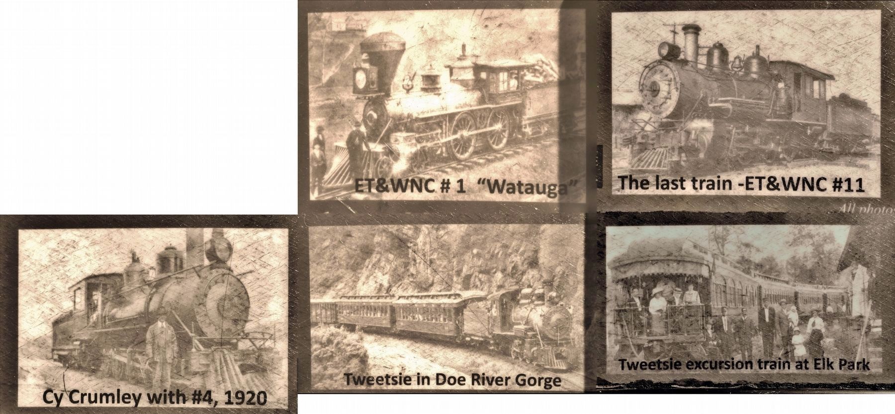
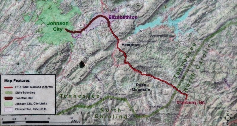
In 1875 Ario Pardee formed the Cranberry Iron & Coal Company to bring iron ore 34 miles from Cranberry, NC to Johnson City for smelting. A 3-foot gauge line was completed to Hampton by 1881 and to Cranberry in 1882. The first locomotives were named "Watauga", "Cranberry" and "Unaka". A train to and from Cranberry ran twice a day and was called the "Stemwinder", a reference to a popular pocket watch of the era. It hauled iron ore to Johnson City and provided passenger, freight and mail service. It was called “the train with a heart" because of the service it gave to the mountain people who lived along the line. Its famous conductor, Cy Crumley, even used a heart shaped ticket punch. The train would stop while crew escorted children to their homes or took orders and delivered goods — everything from thread to stoves and even coffins. The railroad had its best times from the 1890's to World War I and was referred to as the “Narr gauge" or the "ET" by folks on the Tennessee side of the line. It was extended to Boone and Linville, NC by 1918 and trains hauled iron ore and lumber. The trains opened up the area to tourism, taking folks to Roan Mountain to stay at the famous Cloudland Hotel. The ET&WNC began to decline in the 1920's when the iron ore and old growth timber became depleted. The Cranberry Mine and the Johnson City Cranberry Furnace closed in 1929. The ET&WNC continued hauling passengers, freight and mail but construction of a road between Johnson City and Roan Mountain in 1931 caused further decline. To boost passenger traffic excursion trains were run into Doe River Gorge in the 1930's and children were taken to summer camps at Linville Gorge and Blowing Rock. It was at this time that the train became known as the "Tweetsie" for the sound of its shrill whistle. The affectionate term was applied to the individual trains and to the Johnson City-Boone line, as a whole. In 1940 a massive flood washed out much of the Linville line and it was abandoned. The Johnson City-Boone line saw a minor revival when it provided passenger service for workers at the North American Rayon Corporation Bemberg Plant in Elizabethton during World War II. After the war the ET&WNC continued to decline and the last passenger train ran on September, 24, 1950.
—Department of Geosciences, ETSU
Erected by East Tennessee State University; The Tweetsie Trail.
Topics. This historical marker is listed in these topic lists: Industry & Commerce • Railroads & Streetcars • War, World II. A significant historical year for this entry is 1875.
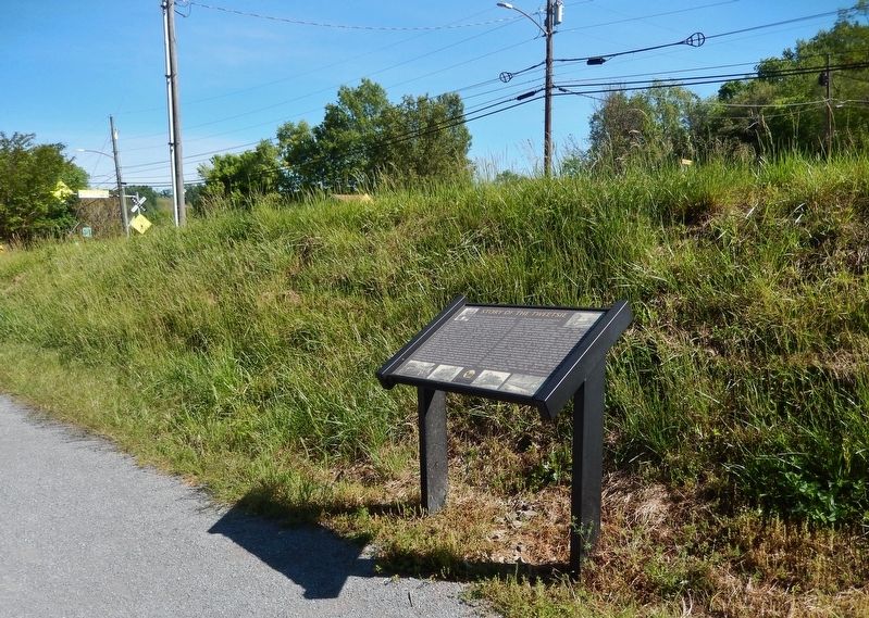
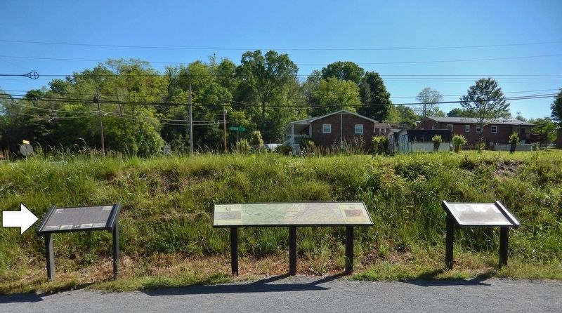
Location. 36° 18.891′ N, 82° 20.172′ W. Marker is in Johnson City, Tennessee, in Washington County. Marker can be reached from the intersection of Alabama Street and Legion Street. Marker is located on the Tweetsie Trail, just east of the Alabama Street trailhead and parking lot. Touch for map. Marker is in this post office area: Johnson City TN 37601, United States of America. Touch for directions.
Other nearby markers. At least 8 other markers are within walking distance of this marker. Trail Geology (here, next to this marker); Robins’ Roost (approx. 0.6 miles away); Passenger Service (approx. 0.6 miles away); A Narrow-Gauge Railroad (approx. 0.6 miles away); The Music of the Rails (approx. 0.6 miles away); Johnson City Sessions (approx. ¾ mile away); a different marker also named Johnson City Sessions (approx. ¾ mile away); John Sevier Hotel (approx. 0.8 miles away). Touch for a list and map of all markers in Johnson City.
Regarding Story of the Tweetsie. The Tweetsie Trail is a rails-to-trails project traversing former ET&WNC railroad right-of-way between Johnson City and Elizabethton. Because of the unique sound of the locomotive whistle, the railroad and its trains became unofficially yet affectionately known as the “tweetsie.” The trail provides opportunities for walking, hiking, running, biking, etc.
Also see . . .
1. East Tennessee and Western North Carolina Railroad. Wikipedia entry:
The East Tennessee & Western North Carolina Railroad (ET&WNC), affectionately called the "Tweetsie,” was a primarily 3 ft narrow gauge railroad established in 1866 for the purpose of serving the mines at Cranberry, North Carolina. The 3 ft narrow gauge portion of the ET&WNC was abandoned in 1950. The 11-mile standard gauge segment of the line from Johnson City to Elizabethton, Tennessee operated as East Tennessee Railway until 2003. In 2012 the rails and ties were removed to make way for a rail-trail. This trail was named the Tweetsie Trail. (Submitted on June 5, 2021, by Cosmos Mariner of Cape Canaveral, Florida.)
2. Tweetsie Trail. Johnson City Tennessee website entry (Submitted on September 12, 2023, by Larry Gertner of New York, New York.)
Credits. This page was last revised on September 12, 2023. It was originally submitted on June 5, 2021, by Cosmos Mariner of Cape Canaveral, Florida. This page has been viewed 276 times since then and 33 times this year. Photos: 1, 2, 3, 4, 5, 6. submitted on June 5, 2021, by Cosmos Mariner of Cape Canaveral, Florida.
