Newport in Campbell County, Kentucky — The American South (East South Central)
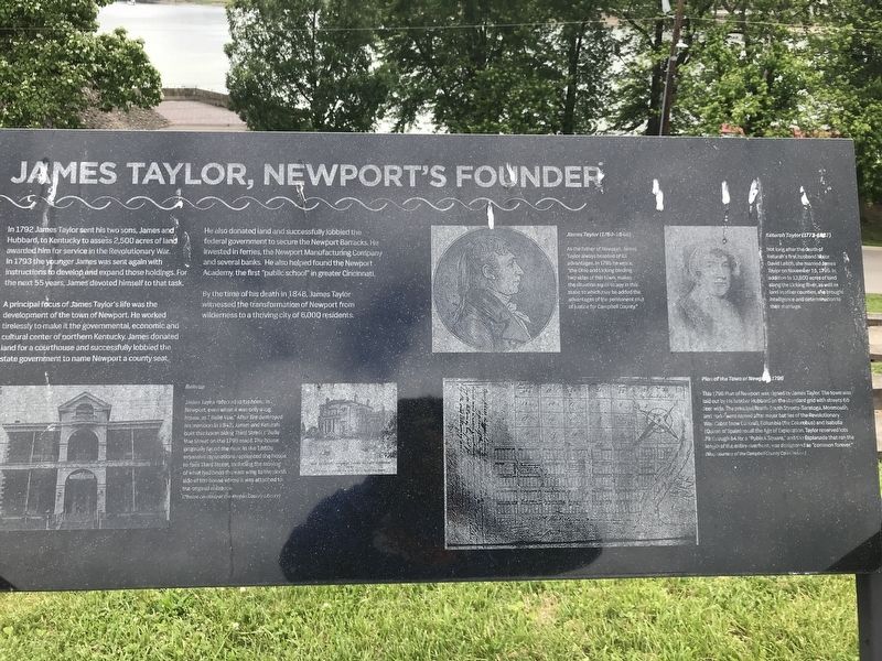
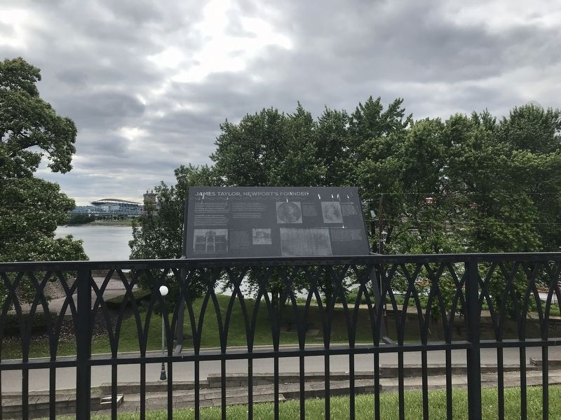
James Taylor, Newport's Founder
A principal focus of James Taylor's life was the development of the town of Newport. He worked tirelessly to make it the governmental, economic and cultural center of northern Kentucky. James donated land for a courthouse and successfully lobbied the state government to name Newport as a county seat.
He also donated land and successfully lobbied the federal government to secure the Newport Barracks. He invested in ferries, the Newport Manufacturing Company and several banks. He also helped found the Newport Academy, the first "public school" in greater Cincinnati.
By the time of his death in 1848, James Taylor witnessed the transformation of Newport from wilderness to a thriving city of 6,000 residents.
James Taylor (1769-1848) As the father of Newport, James Taylor always boasted of its advantages. In 1795 he wrote "the Ohio and Licking binding two sides of this town, makes the situation equal to any in this state, to which may be added the advantages of the permanent seat of justice for Campbell County."
Keturah Taylor (1773-1867) Not long after the death of Keturah's first husband Major David Leitch, she married James Taylor on November 15, 1795. In addition to 13,800 acres of land along the Licking River, as well as land in other counties, she brought intelligence and determination to their marriage.
Bellevue James Taylor referred to his home in Newport, even when it was only a log house, as "Belle Vue." After fire destroyed his mansion in 1842, James and Keturah built this home along Third Street (Belle Vue Street on the 1795 map). The house originally faced the river. In the 1880s extensive renovations reoriented the house to face Third Street, including the moving of what had been the east wing to the north side of the house where it was attached to the original structure. Photos courtesy of the Kenton County Library)
Plan of the Town of Newport, 1796 This 1796 Plan of Newport was signed by James Taylor. The town was laid out by his brother Hubbard on the standard grid with streets 66 feet wide. The principal north-south streets — Saratoga, Monmouth, and York — were named after major battles of the Revolutionary War. Cabot (now Central), Columbia (for Columbus) and Isabella (Queen of Spain) recall the Age of Exploration. Taylor reserved lots 79 through 84 for a "Publick Square," and the Esplanade that ran the length of the entire riverfront, was designated as "common forever." (Map courtesy of the Campbell County Court House)
Topics. This historical marker is listed in these topic lists: Industry & Commerce • Settlements & Settlers. A significant historical year for this entry is 1793.
Location. 39° 5.544′ N, 84° 30.109′ W. Marker is in Newport, Kentucky, in Campbell County. Marker can be reached from Riverboat Row. Marker is on top of the Newport Levee. Touch for map. Marker is in this post office area: Newport KY 41071, United States of America. Touch for directions.
Other nearby markers. At least 8 other markers are within walking distance of this marker. Licking River (within shouting distance of this marker); Newport Barracks (within shouting distance of this marker); a different marker also named Newport Barracks (within shouting distance of this marker); Fort Thomas (within shouting distance of this marker); Flood Walls (within shouting distance of this marker); The Civil War in Northern Kentucky (within shouting distance of this marker); Defending the Valley (within shouting distance of this marker); Skyscrapers and a Stadium: 1900-1972 (within shouting distance of this marker). Touch for a list and map of all markers in Newport.
Credits. This page was last revised on June 5, 2021. It was originally submitted on June 5, 2021, by Duane and Tracy Marsteller of Murfreesboro, Tennessee. This page has been viewed 220 times since then and 28 times this year. Photos: 1, 2. submitted on June 5, 2021, by Duane and Tracy Marsteller of Murfreesboro, Tennessee.

