Newport in Campbell County, Kentucky — The American South (East South Central)
Newport Barracks
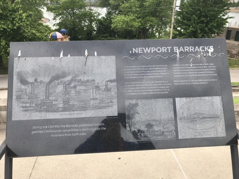
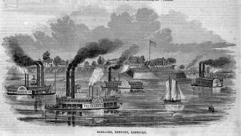
Taylor donated six acres of land for the "Western Arsenal and Barracks", supervised the initial construction, and acted as army paymaster. The Barracks served as a staging area for William Henry Harrison's troops in the War of 1812. As a recruiting depot, it supplied soldiers for the Texas War in 1836, and the Mexican-American War in 1845. Under the command of Nathaniel Macrae from 1841-1852 the barracks was enlarged and improved. During the Civil War, the Barracks processed recruits, guarded Confederate sympathizers, and cared for the wounded from both sides.
Devastating floods in 1883 and 1884 caused the Army to move to Fort Thomas, southeast of Newport.
Topics. This historical marker is listed in this topic list: Forts and Castles. A significant historical year for this entry is 1803.
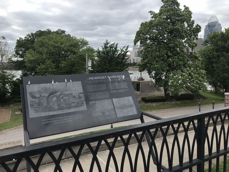
Location. 39° 5.528′ N, 84° 30.115′ W. Marker is in Newport, Kentucky, in Campbell County. Marker can be reached from Riverboat Row, on the right when traveling north. Marker is on the Newport Levee trail. Touch for map. Marker is in this post office area: Newport KY 41071, United States of America. Touch for directions.
Other nearby markers. At least 8 other markers are within walking distance of this marker. Licking River (a few steps from this marker); James Taylor, Newport's Founder (within shouting distance of this marker); a different marker also named Newport Barracks (within shouting distance of this marker); Fort Thomas (within shouting distance of this marker); Defending the Valley (within shouting distance of this marker); The Civil War in Northern Kentucky (within shouting distance of this marker); Flood Walls (within shouting distance of this marker); Cincinnati Skyline Pre-1865 (within shouting distance of this marker). Touch for a list and map of all markers in Newport.
Also see . . . Newport Barracks (Wikipedia). (Submitted on June 6, 2021, by Duane and Tracy Marsteller of Murfreesboro, Tennessee.)
Credits. This page was last revised on June 6, 2021. It was originally submitted on June 6, 2021, by Duane and Tracy Marsteller of Murfreesboro, Tennessee. This page has been viewed 244 times since then and 38 times this year. Photos: 1, 2, 3. submitted on June 6, 2021, by Duane and Tracy Marsteller of Murfreesboro, Tennessee.


