Newark in New Castle County, Delaware — The American Northeast (Mid-Atlantic)
The Industries of Newark
Pomeroy and Newark Rail Trail
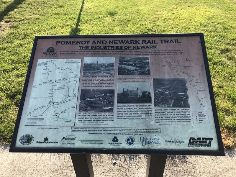
Newark was once the home of several factories producing paper, wood laminates and a variety of textiles. Some were located on the White Clay Creek. Harnessing its water flow to generate power. The Pomeroy and Newark Railroad service these industries by constructing sidings (railroad tracks connecting the factory to the main line) to transport goods either north toward Pomeroy, PA or south toward Delaware City, DE.
[Captions:]
The Curtis Paper Mill (pictured above) was the longest running paper mill in the United States, operating from 1789 until 1997. The mill was founded in 1789 by Thomas Meeteer and operated for the next 200 years under different owners. The mill was known as an innovator in creating high grade paper products. Photo circa 1920's.
Pictured above is the National Vulcanized Fibre Company (center) along with the Curtis Paper Mill (bottom right).
This 1925 aerial view shows the National Vulcanized Fibre Company (top) and a railroad supplied coal drop off and storage facility (bottom). North Chapel Street intersects the two areas. The Pomeroy and Newark Railroad tracks can be seen in the lower right corner.
The National Volcanized Fibre Company (pictured above), was located along the White Clay Creek, just east of Paper Mill Road. Originally the site was home to the Dean Woolen Mill, which burned down in 1886. The site was reconstructed by the American Hard Fibre Company, which operated from 1894 until 1922 when it became part of the National Volcanized Fibre Company.
J. Pilling Wright founded the Continental Diamond Fibre Company (1925 photo). The company manufactured laminates of various paper and cloth material. In 1952 the Budd Company took over the property and operated until 1972. This site is the current location of the University Courtyard Apartments. The Pomeroy and Newark Railroad can be seen behind the factory running north.
Erected by City of Newark; Delaware Department of Natural Resources and Environmental Control; Delaware State Parks; Pennoni Associates Inc.; Merit Construction Engineers, Inc.; Delaware Department of Transportation; U.S. Department of Transportation; University of Delaware; University Courtyard; DART.
Topics and series. This historical marker is listed in these topic lists: Industry & Commerce • Railroads & Streetcars. In addition, it is included in the Delaware State Parks, and the University of Delaware series lists. A significant historical year for this entry is 1789.
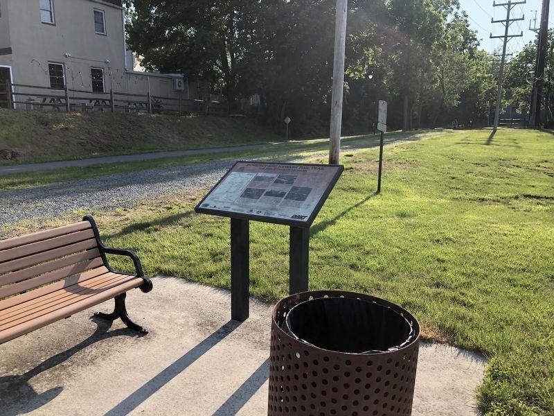
Location. 39° 41.236′ N, 75° 44.884′ W. Marker is in Newark, Delaware, in New Castle County. Marker is at the intersection of
Other nearby markers. At least 8 other markers are within walking distance of this marker. Curtis Paper Mill (approx. ¼ mile away); St. John the Baptist Church (approx. ¼ mile away); Newark Academy (approx. 0.3 miles away); Veterans Memorial (approx. 0.3 miles away); a different marker also named Newark Academy (approx. 0.3 miles away); Albert Gallatin Lewis (approx. 0.3 miles away); The Train Stations of Newark (approx. 0.3 miles away); Oriental Lodge #12, I.O.O.F. (approx. 0.3 miles away). Touch for a list and map of all markers in Newark.

Photographed By Devry Becker Jones (CC0), December 30, 2023
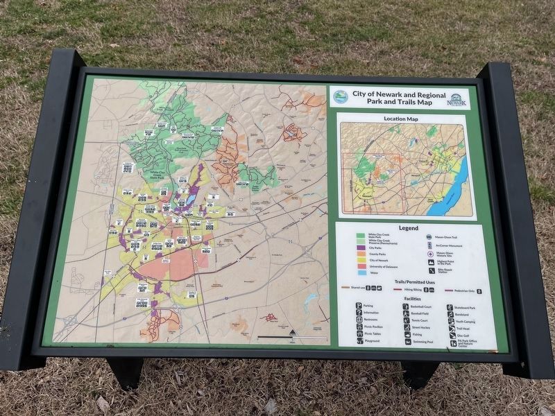
3. City of Newark Regional Park and Trails Map
This map stands near the marker. Several maps can be found throughout the City of Newark.
Credits. This page was last revised on December 31, 2023. It was originally submitted on June 7, 2021, by Devry Becker Jones of Washington, District of Columbia. This page has been viewed 396 times since then and 92 times this year. Photos: 1, 2. submitted on June 7, 2021, by Devry Becker Jones of Washington, District of Columbia. 3. submitted on December 31, 2023, by Devry Becker Jones of Washington, District of Columbia.

