LeClaire in Scott County, Iowa — The American Midwest (Upper Plains)
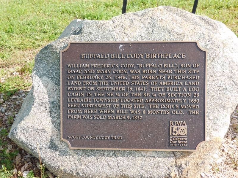
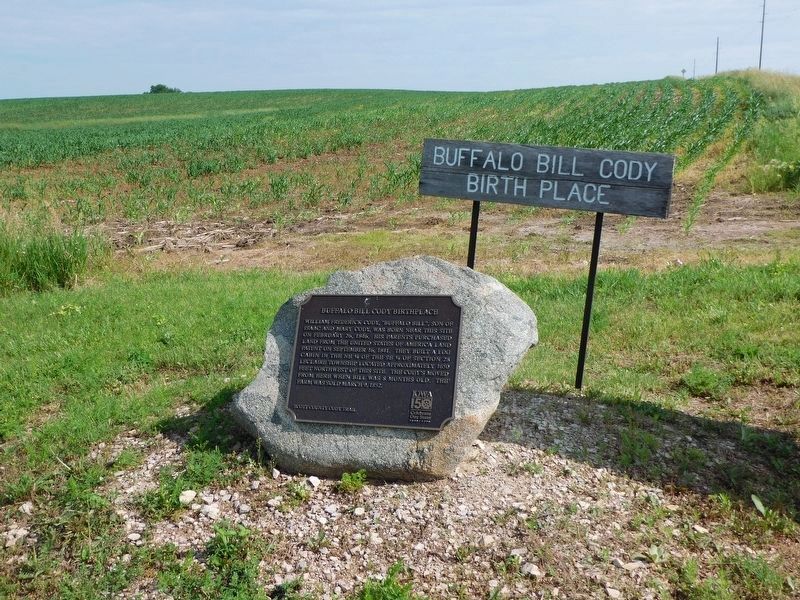
Buffalo Bill Cody Birthplace
Erected by Scott County Cody Trail Iowa 150 Years Celebrate Our State 1846 - 1996.
Topics. This historical marker is listed in this topic list: Settlements & Settlers. A significant historical date for this entry is February 26, 1846.
Location. 41° 36.683′ N, 90° 22.233′ W. Marker is in LeClaire, Iowa, in Scott County. Marker is at the intersection of Territorial Road and 270th Avenue, on the right when traveling west on Territorial Road. Located in NW corner of intersection. Touch for map. Marker is at or near this postal address: 21006 Territorial Rd, Le Claire IA 52753, United States of America. Touch for directions.
Other nearby markers. At least 8 other markers are within 2 miles of this marker, measured as the crow flies. The Stone House (approx. 1.4 miles away); The James Gamble House (approx. 1.4 miles away); The Rambo House (approx. 1½ miles away); Old Mill House (approx. 1.6 miles away); The Samuel Van Sant House (approx. 1.6 miles away); The George Tromley, Jr. House (approx. 1.6 miles away); The Horton-Suiter House (approx. 1.6 miles away); LeClaire City Hall (approx. 1.7 miles away). Touch for a list and map of all markers in LeClaire.
Credits. This page was last revised on June 9, 2021. It was originally submitted on June 9, 2021, by Susan Van Den Bosch of Genoa City, Wisconsin. This page has been viewed 305 times since then and 35 times this year. Photos: 1, 2. submitted on June 9, 2021, by Susan Van Den Bosch of Genoa City, Wisconsin. • Mark Hilton was the editor who published this page.

