Abell in Baltimore, Maryland — The American Northeast (Mid-Atlantic)
"Old" Oriole Park
Photographed by Bill Pfingsten, June 9, 2021
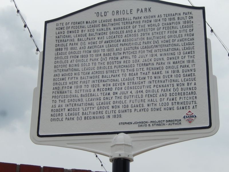
1. "Old" Oriole Park Marker
Site of former major league baseball park known as Terrapin Park. Home of Federal League Baltimore Terrapins from 1914 to 1915. Built on land owned by Ned Hanlon, manager of the world champion 1890s National League Baltimore Orioles and a director of Federal League Terrapins. Ballpark was located across 29th Street from site of Oriole Park (II). Home of American Association Baltimore Orioles from 1889 to 1892, and American League Park/Oriole Park (IV). Home of American League Orioles from 1901 to 1902 and Eastern League/International League Orioles from 1903 to 1914. Babe Ruth pitched for the International League Orioles at Oriole Park (IV) from April to July 1914, winning 13 games before being sold to the Boston Red Sox. Jack Dunn, owner of the International League Orioles purchased Terrapin Park in March 1916 and moved his team across street to this site, renamed Oriole Park. It became fifth Baltimore ballpark to bear that name in 1919. Dunn's Orioles were first International League team to win over 100 games, and from 1919 to 1925, won seven straight International League pennants, setting a record for consecutive pennants
this page online
Erected by Stephen Johnson - Project Director, David B. Stinson - Author.
Topics. This historical marker is listed in these topic lists: African Americans • Sports. A significant historical year for this entry is 1914.
Location. 39° 19.48′ N, 76° 36.614′ W. Marker is in Baltimore, Maryland. It is in Abell. It is at the intersection of 30th Street and Barclay Street on 30th Street. Touch for map. Marker is in this post office area: Baltimore MD 21218, United States of America. Touch for directions.

Regionally, this marker is in Central Maryland. It is also in the American Mid-Atlantic, in the Chesapeake Bay Region, and on the Eastern Seaboard. Globally, it is in the North Atlantic Region, North America, the Western Hemisphere, the Western World, and the Anglosphere.
Photographed by Bill Pfingsten, June 9, 2021
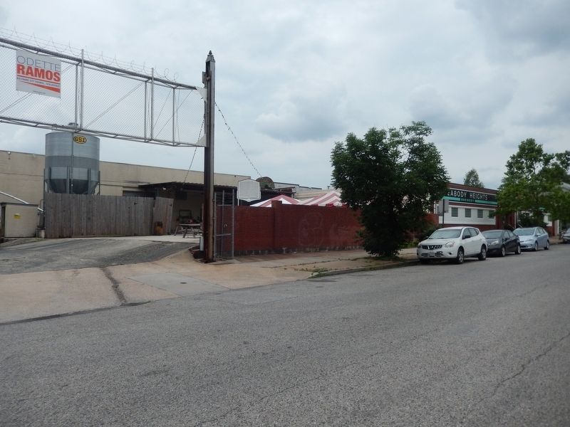
2. "Old" Oriole Park Marker
Other nearby markers. At least 8 other markers are within walking distance of this marker: Waverly Town Hall (about 600 feet away, measured in a direct line); Giving Voice to the Community (about 600 feet away); Connection to Nature & Learning (approx. ¼ mile away); Village life goes on along Old York Road.. (approx. ¼ mile away); Union Soldiers and Sailors Monument (approx. 0.4 miles away); Charles Street at Wyman Park Dell (approx. 0.4 miles away); Wyman Park Dell (approx. 0.4 miles away); Gatehouse (approx. 0.4 miles away). Touch for a list and map of all markers in Baltimore.
Credits. This page was last revised on February 26, 2026. It was originally submitted on June 10, 2021, by Bill Pfingsten of Bel Air, Maryland. This page has been viewed 3,560 times since then and 135 times this year. Photos: 1, 2. submitted on June 10, 2021, by Bill Pfingsten of Bel Air, Maryland.
