Alexandria in Campbell County, Kentucky — The American South (East South Central)
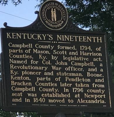
Kentucky's Nineteenth
Erected 1965 by Kentucky Historical Society and Kentucky Department of Highways. (Marker Number 889.)
Topics and series. This historical marker is listed in this topic list: Political Subdivisions. In addition, it is included in the Kentucky Historical Society series list. A significant historical year for this entry is 1794.
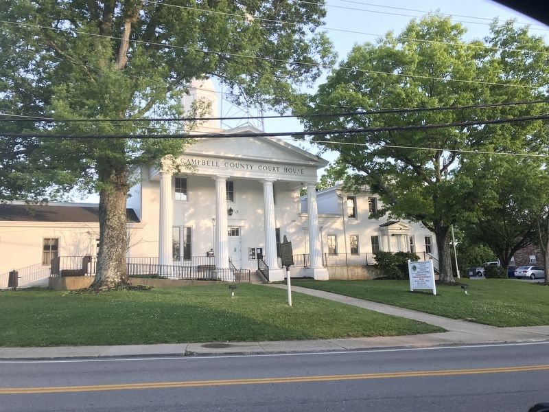
Location. 38° 57.592′ N, 84° 23.212′ W. Marker is in Alexandria, Kentucky, in Campbell County. Marker is on East Main Street (Kentucky Route 10), on the right when traveling east. Marker is in front of the Campbell County Courthouse. Touch for map. Marker is at or near this postal address: 8352 East Main Street, Alexandria KY 41001, United States of America. Touch for directions.
Other nearby markers. At least 8 other markers are within 6 miles of this marker, measured as the crow flies. Mary Ingles (approx. 5.3 miles away); Dr. John G. Rogers Home & Office (approx. 5˝ miles away in Ohio); New Richmond (approx. 5.6 miles away in Ohio); New Richmond Waterfront (approx. 5.6 miles away in Ohio); Founding of New Richmond (approx. 5.6 miles away in Ohio); New Richmond WW I Memorial (approx. 5.7 miles away in Ohio); Ross – Gowdy House Museum (approx. 5.7 miles away in Ohio); The United States Merchant Marine (approx. 5.7 miles away in Ohio).
Credits. This page was last revised on June 11, 2021. It was originally submitted on June 11, 2021, by Duane and Tracy Marsteller of Murfreesboro, Tennessee. This page has been viewed 177 times since then and 31 times this year. Photos: 1, 2. submitted on June 11, 2021, by Duane and Tracy Marsteller of Murfreesboro, Tennessee.

