History Happens Here…
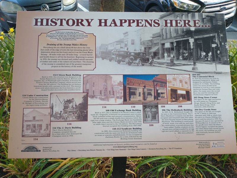
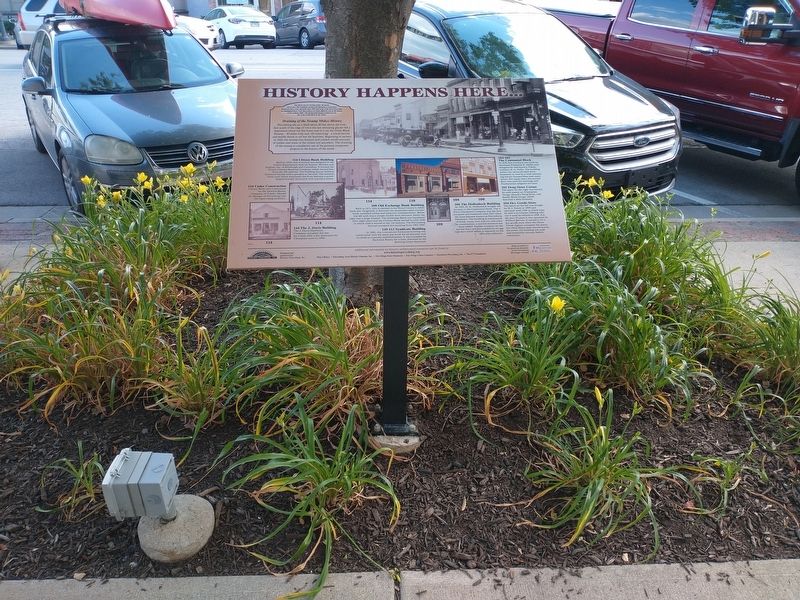
The block you are viewing today, the north- end of west 100 Louisiana Avenue, has had quite a varied past. Businesses have come and gone since 1823 and some of the most interesting are highlighted here. Note these photos are from different eras in the history of Perrysburg, Ohio. The background image is believed to be the scene of this block in the 1930s.
Draining of the Swamp Makes History
Perrysburg sits on a bluff about 40 feet above the river. Just south of the edge of town the last retreating glacier left a depression about ten feet lower and in it sat the Great Black Swamp – 40 miles wide and 120 miles long – a travel barrier and health threat to all but the heartiest. Beginning in earnest in 1850, the swamp was drained and yielded untold amounts of timber and some of the richest soil anywhere. The draining of the swamp is considered one of the greatest manpower projects in the history of the world.
114 Under Construction
Citizen Bank was constructed
by the Newton-Baxter
Company of Toledo. Harold
H. Munger of Perrysburg was
the supervising architect.
114 Citizen Bank Building
Built in 1926, this structure was designed in the
Italian Renaissance-style by Simons, Brittain and
English, Inc. of Pittsburgh and Columbus. It housed the
former Citizens
114 The J. Davis Building
The J. Davis Hardware
Company occupied this site
for a time after a fire destroyed the
Champney store in 1904.
108 Old Exchange Bank Building
Built in 1871, this is claimed to be Wood County's oldest
bank site. Originally, it featured two prominent semi-circular
brick corbelled arches and masonry ornamentation. Below
the left arch was a simple double door entrance; below the
right was a large window. The Exchange Bank was liquidated
after eight years and the Citizens Bank moved in until 1926
at which time it moved to the 114 address. The Perrysburg
Journal occupied this building from 1963-1966.
110-112 Syndicate Building
In 1880, this commercial Italianate building was
constructed with the same size brick for all features with
no stone or concrete embellishments. It was occupied by
Zachman Realty for a time, followed by the
Bowling Green Sentinnel.
106 The Hollenbeck Building
In 1903, D. K. Hollenbeck bought the
lot next to the Centennial block. The J.
Davis Hardware Company was the first
occupant and remained until 1923 when
the
The Centennial Block In 1876 this structure was built by merchant Frederick R. Miller and designed by well-known Toledo architect E. O. Fallis. The building unites two stores divided from basement to roof by a wall containing hot-air furnace flues and ventilators. For many years the second floor was used for meetings and Presbyterian religious services.
102 Drug Store Corner The space on the right was known by such names as, Champney Drugs, Houck's Drug Store, and finally Shale Drugs, which featured a soda fountain.
104 Dry Goods Store
The space on the left was bought
by W. J. Veitch in 1909 and
operated until 1948 at which time
he sold it to Charles Dibling who
ran it until he retired in 1958. For
the next 35 years it was operated by
William Barton. It ceased to be a
dry goods store when the Hayes
Travel Agency occupied the space;
but when Hayes later moved across
the street, the building was sold
and eventually became Stella's
restaurant.
Erected by Historic Perrysburg, Inc.
Topics. This historical marker is listed in this topic list: Industry & Commerce. A significant historical year for this entry is 1823.
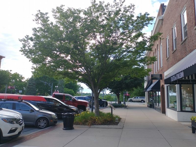
Location. 41° 33.611′ N, 83° 37.782′ W. Marker is in Perrysburg, Ohio, in Wood County. Marker is on Louisiana Avenue (U.S. 20) south of East Front Street, on the right when traveling north. Touch for map. Marker is at or near this postal address: 109 Louisiana Ave, Perrysburg OH 43551, United States of America. Touch for directions.
Other nearby markers. At least 8 other markers are within walking distance of this marker. The Way We Were… (within shouting distance of this marker); a different marker also named The Way We Were… (within shouting distance of this marker); a different marker also named The Way We Were… (within shouting distance of this marker); Commodore Oliver Hazard Perry (within shouting distance of this marker); Perrysburg Veterans Memorial (within shouting distance of this marker); Perrysburg World War Memorial (within shouting distance of this marker); Fort Meigs Directional Marker (within shouting distance of this marker); Perrysburg / Perrysburg Plat Map (about 300 feet away, measured in a direct line). Touch for a list and map of all markers in Perrysburg.
Credits. This page was last revised on June 19, 2021. It was originally submitted on June 18, 2021, by Craig Doda of Napoleon, Ohio. This page has been viewed 225 times since then and 28 times this year. Photos: 1, 2, 3. submitted on June 18, 2021, by Craig Doda of Napoleon, Ohio. • Mark Hilton was the editor who published this page.


