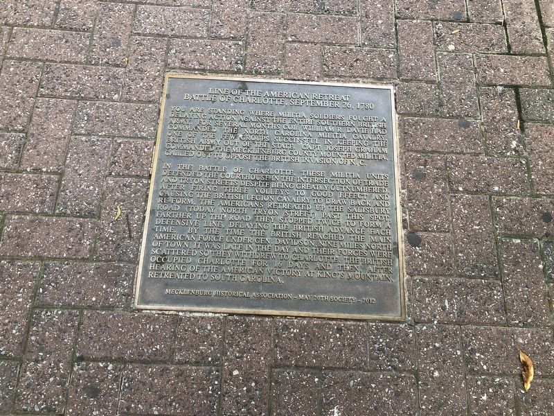
Line of the American Retreat
Battle of Charlotte, September 26, 1780
You are standing where militia soldiers fought a delaying acting against the entire southern British army. For several months Col. William R. Davie had commanded the North Carolina militia cavalry, one of the few groups successful in keeping the British army out of the state. Capt. Joseph Graham commanded the Mecklenburg County Mounted Militia called out to oppose the British invasion of N.C.
In the Battle of Charlotte, these militia units defended the courthouse in the intersection of Trade and Tryon Streets despite being greatly outnumbered. After firing three volleys to good effect and causing the British Legion Cavalry to draw back and re-form. The Americans retreated up the Salisbury Road (today North Tryon Street) past this spot. Farther up the road they stopped twice to form a defensive line, delaying the British advance each time. By the time the British reached the main American force under Gen. Davidson, nine miles north of town. It was late in the day and their forces were scattered so they withdrew to Charlotte. The British occupied Charlotte for 16 days and then, after hearing of the American victory at King's Mountain, retreated to South Carolina.
Erected 2012 by Mecklenburg Historical Association; May 20th Society.
Topics. This historical marker is listed in this topic
Location. 35° 13.683′ N, 80° 50.518′ W. Marker is in Charlotte, North Carolina, in Mecklenburg County. It is in Charlotte center city. Marker is at the intersection of West 5th Street and North Tryon Street, on the left when traveling east on West 5th Street. Touch for map. Marker is at or near this postal address: 200 N Tryon St, Charlotte NC 28202, United States of America. Touch for directions.
Other nearby markers. At least 8 other markers are within walking distance of this marker. Mecklenburg Resolves (about 300 feet away, measured in a direct line); Nathanael Greene (about 300 feet away); Home of Col. Thomas Polk (about 300 feet away); Nearby History (about 400 feet away); The Sculptures at Independence Square (about 400 feet away); Queen Charlotte Walks In Her Garden (about 500 feet away); Independence Square (about 500 feet away); a different marker also named Nearby History (about 500 feet away). Touch for a list and map of all markers in Charlotte.
Credits. This page was last revised on February 3, 2023. It was originally submitted on June 21, 2021, by Devry Becker Jones of Washington, District of Columbia. This page has been viewed 178 times since then and 22 times this year. Photo 1. submitted on June 21, 2021, by Devry Becker Jones of Washington, District of Columbia.
Editor’s want-list for this marker. A wide shot of the marker in context. • Can you help?
