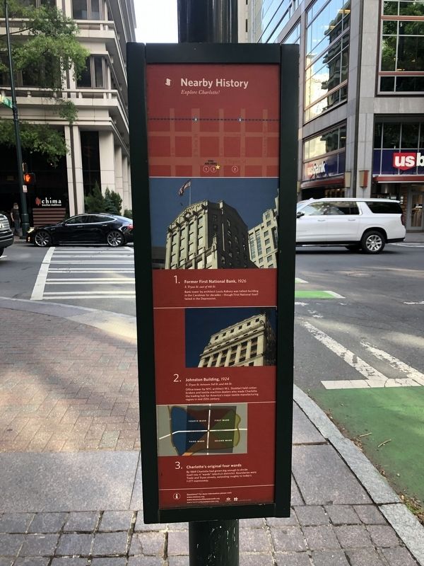
Nearby History
Explore Charlotte!
1. Former First National Bank, 1926
S. Tryon St. east of 4th St.
Bank tower by architect Louis Asbury was tallest building in the Carolinas for decades — though First National itself failed in the Depression.
2. Johnston Building 1924
S. Tryon St. between 3rd St. and 4th St.
Office tower by NYC architect W.L. Stoddard held cotton brokers and textile machine dealers who made Charlotte the trading hub for America's major textile manufacturing region in mid 20th century.
3. Charlotte's original four wards
By 1869 Charlotte had grown big enough to divide itself into 4 "wards" (election districts). Boundaries were Trade and Tryon streets, extending roughly to today's I-277 expressway.
Erected by City of Charlotte, North Carolina.
Topics. This historical marker is listed in these topic lists: Architecture • Industry & Commerce • Political Subdivisions. A significant historical year for this entry is 1926.
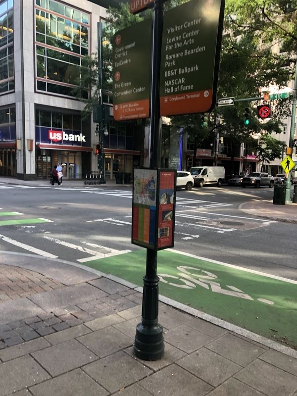
Location. 35° 13.59′ N, 80° 50.653′ W. Marker is in Charlotte, North Carolina, in Mecklenburg County. It is in Charlotte center city. Marker is at the intersection of South Tryon Street and West 4th Street, on the right when traveling south
Other nearby markers. At least 8 other markers are within walking distance of this marker. Jefferson Davis Informed of Lincoln's Death (here, next to this marker); RCA Victor (here, next to this marker); Battle of Charlotte (within shouting distance of this marker); The Johnston Building (within shouting distance of this marker); British Encampment, 1780 (within shouting distance of this marker); St. Peters Hospital (about 300 feet away, measured in a direct line); Cotton (about 300 feet away); Thomas Polk Park (about 300 feet away). Touch for a list and map of all markers in Charlotte.
Credits. This page was last revised on February 3, 2023. It was originally submitted on June 21, 2021, by Devry Becker Jones of Washington, District of Columbia. This page has been viewed 135 times since then and 18 times this year. Photos: 1, 2. submitted on June 21, 2021, by Devry Becker Jones of Washington, District of Columbia.

