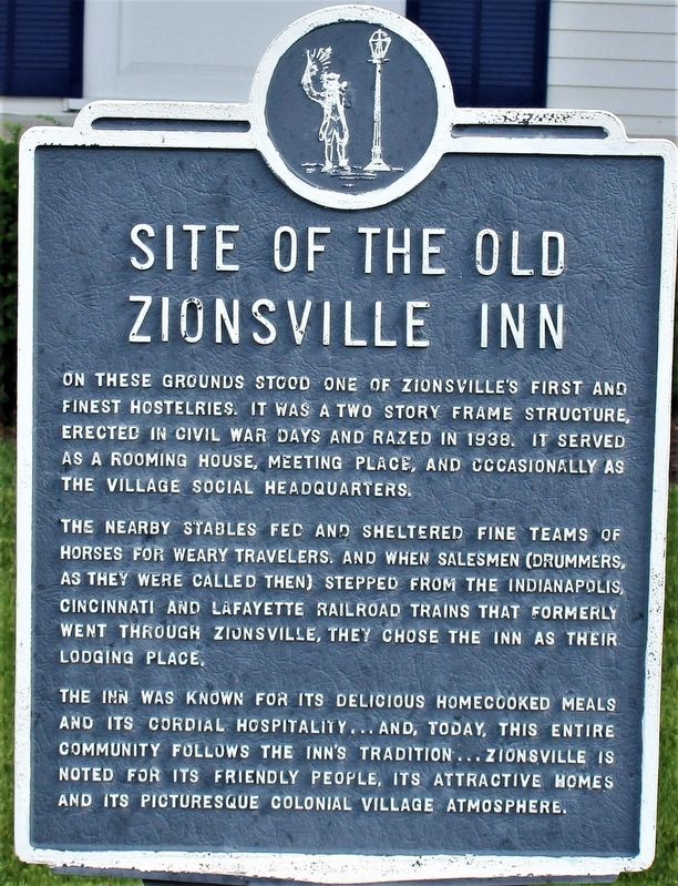
Site of the Old Zionsville Inn
On these grounds stood one of Zionsville’s first and finest hostelries. It was a two story frame structure, erected in Civil War days, and razed in 1938. It served as a rooming house, meeting place, and occasionally as the village social headquarters.
The nearby stables fed and sheltered fine teams of horses for weary travelers, and when salesmen (drummers, as they were called then) stepped from the Indianapolis, Cincinnati and Lafayette Railroad trains that formerly went through Zionsville, they would chose the Inn as their lodging place.
The Inn was known for its delicious homecooked meals and its cordial hospitality…and, today, this entire community follows the Inn’s tradion…Zionsville is noted for its friendly people, its attractive homes and its picturesque colonial village atmosphere.
Topics. This historical marker is listed in this topic list: Industry & Commerce. A significant historical year for this entry is 1938.
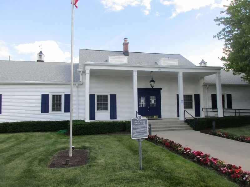
Location. 39° 56.982′ N, 86° 15.734′ W. Marker is in Zionsville, Indiana, in Boone County. Marker is at the intersection of West Pine Street and South 1st Street, on the left when traveling west on West Pine Street. The marker stands on the front lawn of the Flanner Buchanan - Zionsville Funeral and Cremation Home. Touch for map. Marker is at or near this postal address: 160 W Pine St, Zionsville IN 46077, United States of America. Touch for directions.
Other nearby markers.
Credits. This page was last revised on June 24, 2021. It was originally submitted on June 24, 2021, by Rev. Ronald Irick of West Liberty, Ohio. This page has been viewed 209 times since then and 17 times this year. Photos: 1, 2. submitted on June 24, 2021, by Rev. Ronald Irick of West Liberty, Ohio. • Devry Becker Jones was the editor who published this page.

