Split Rock in Onondaga County, New York — The American Northeast (Mid-Atlantic)
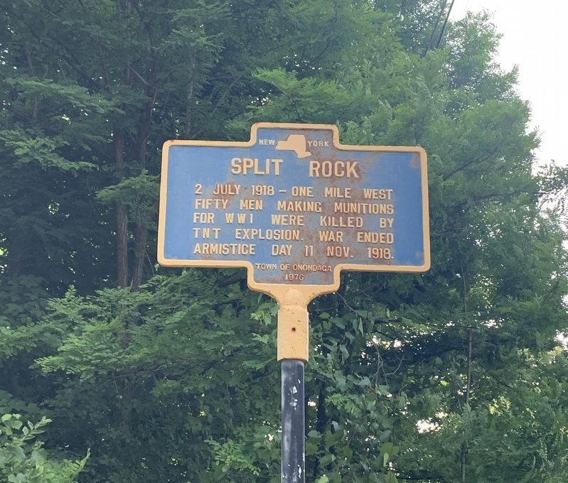
Split Rock
Erected 1976 by Town of Onondaga.
Topics. This historical marker is listed in these topic lists: Disasters • War, World I. A significant historical date for this entry is July 2, 1918.
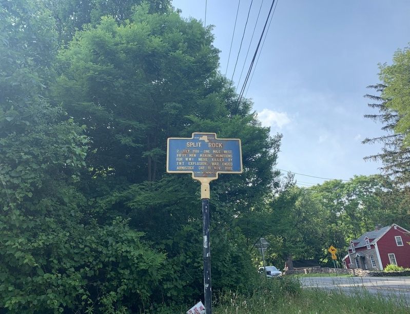
Location. 43° 1.819′ N, 76° 13.641′ W. Marker is in Split Rock, New York, in Onondaga County. Marker is at the intersection of Onondaga Road (New York State Route 173) and Onondaga Boulevard, on the right when traveling south on Onondaga Road. Touch for map. Marker is in this post office area: Camillus NY 13031, United States of America. Touch for directions.
Other nearby markers. At least 8 other markers are within 3 miles of this marker, measured as the crow flies. Old Burial Place (approx. 1.2 miles away); George Geddes Farm (approx. 1.2 miles away); James Geddes 1798 (approx. 1.3 miles away); School House No. 2 (approx. 2.3 miles away); Gen. Ellis Cemetery (approx. 2.3 miles away); County Poor House (approx. 2.3 miles away); Casetown (approx. 2.4 miles away); The Erie Canal (approx. 2.4 miles away).
Also see . . . Disaster at Split Rock. (Submitted on June 29, 2021, by Steve Stoessel of Niskayuna, New York.)
Credits. This page was last revised on June 29, 2021. It was originally submitted on June 26, 2021, by Steve Stoessel of Niskayuna, New York. This page has been viewed 333 times since then and 59 times this year. Photos: 1, 2. submitted on June 26, 2021, by Steve Stoessel of Niskayuna, New York. • Bill Pfingsten was the editor who published this page.

