Safety Harbor in Pinellas County, Florida — The American South (South Atlantic)
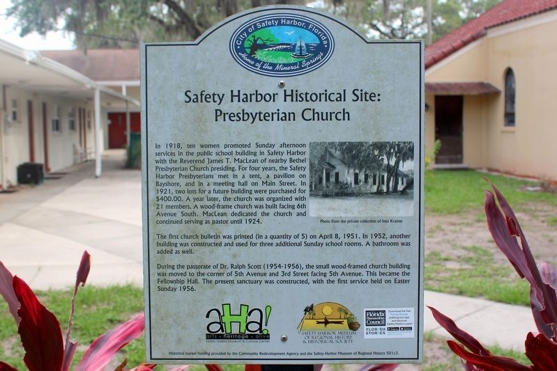
Safety Harbor Historical Site: Presbyterian Church
Inscription.
In 1918, ten women promoted Sunday afternoon services in the public school building in Safety Harbor with the Reverend James T. MacLean of nearby Bethel Presbyterian Church presiding. For four years, the Safety Harbor Presbyterians met in a tent, a pavilion on Bayshore, and in a meeting hall on Main Street. In 1921, two lots for a future building were purchased for $400.00. A year later, the church was organized with 21 members. A wood-frame church was built facing 6th Avenue South. MacLean dedicated the church and continued serving as pastor until 1924.
The first church bulletin was printed (in a quantity of 5) on April 8, 1951. In 1952, another building was constructed and used for three additional Sunday school rooms. A bathroom was added as well.
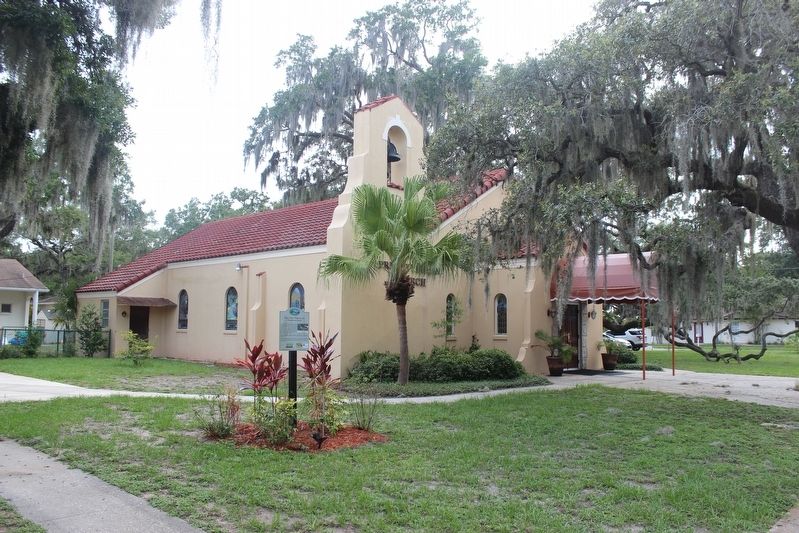
During the pastorate of Dr. Ralph Scott (1954-1956), the small wood-framed church building was moved to the corner of 5th Avenue and 3rd Street facing 5th Avenue. This became the Fellowship Hall. The present sanctuary was constructed, with the first service held on Easter Sunday 1956.
Erected by Community Redevelopment Agency and the Safety Harbor Museum of Regional History.
Topics. This historical marker is listed in this topic list: Churches & Religion. A significant historical year for this entry is 1921.
Location. 27° 59.39′ N, 82° 41.563′ W. Marker is in Safety Harbor, Florida, in Pinellas County. Marker is on 2nd Street South just west of 5th Avenue South, on the right when traveling east. Touch for map. Marker is at or near this postal address: 255 5th Avenue South, Safety Harbor FL 34695, United States of America. Touch for directions.
Other nearby markers. At least 8 other markers are within walking distance of this marker. Safety Harbor Historical Site: Safety Harbor Log Cabin (within shouting distance of this marker); Safety Harbor Historical Site: Safety Harbor Herald (about 400 feet away, measured in a direct line); Safety Harbor Historical Site: The Hotel Frances (about 400 feet away); Safety Harbor Historical Site: First Dedicated Library (about 600 feet away); Safety Harbor Historical Site: 135 4th Avenue North (about 700 feet away); Safety Harbor Historical Site: 136 4th Ave. N. Safety Harbor: "The 1908 Gingerbread House" (about 800 feet away); Safety Harbor Historical Site: Native American Burial Mound (approx. 0.2 miles away); Safety Harbor Historical Site: Lover's Oak (approx. 0.2 miles away). Touch for a list and map of all markers in Safety Harbor.
Credits. This page was last revised on June 27, 2021. It was originally submitted on June 27, 2021, by Tim Fillmon of Webster, Florida. This page has been viewed 189 times since then and 17 times this year. Photos: 1, 2. submitted on June 27, 2021, by Tim Fillmon of Webster, Florida.

