Downtown Crossing in Boston in Suffolk County, Massachusetts — The American Northeast (New England)
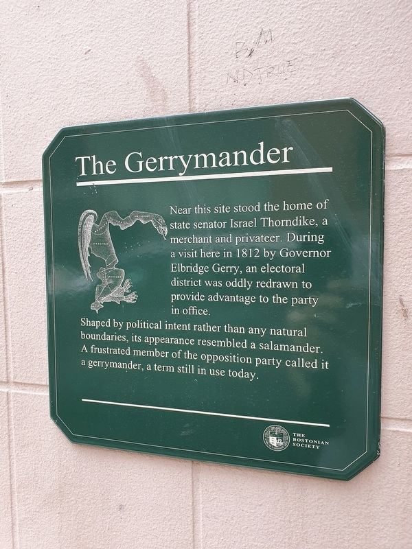
The Gerrymander
Near this site stood the home of state senator Israel Thorndike, a merchant and privateer. During a visit here in 1812 by Governor Elbridge Gerry, an electoral district was oddly redrawn to provide advantage to the party in office.
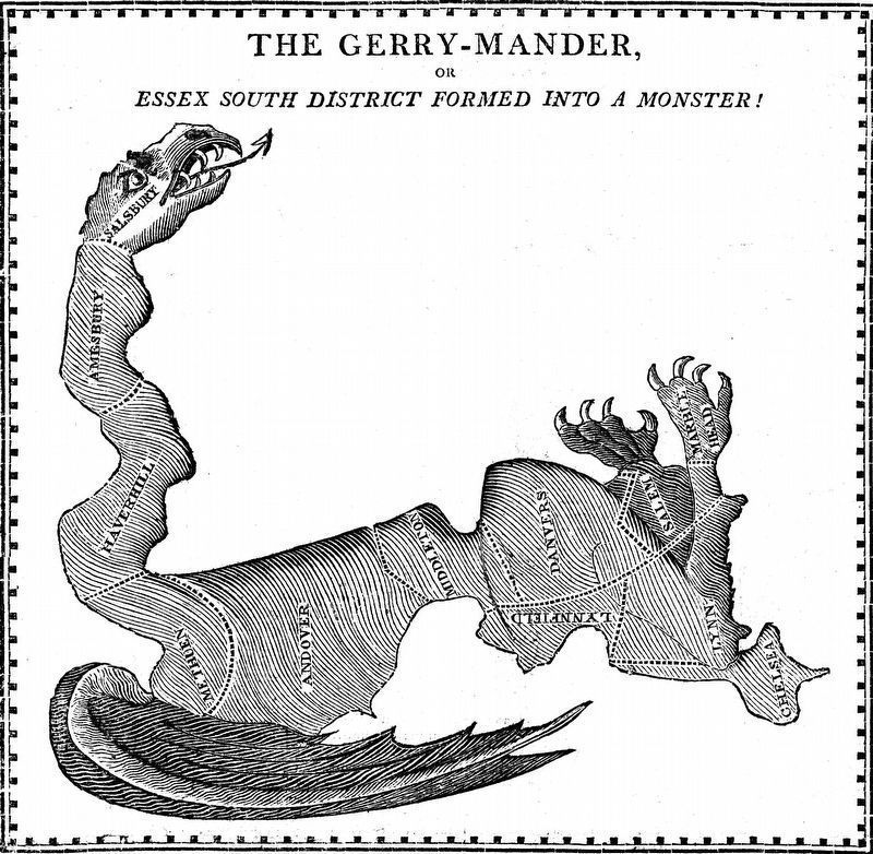
Shaped by political intent rather than any natural boundaries, its appearance resembled a salamander. A frustrated member of the opposition party called it a gerrymander, a term still in use today.
Erected by The Bostonian Society.
Topics. This historical marker is listed in this topic list: Government & Politics. A significant historical year for this entry is 1812.
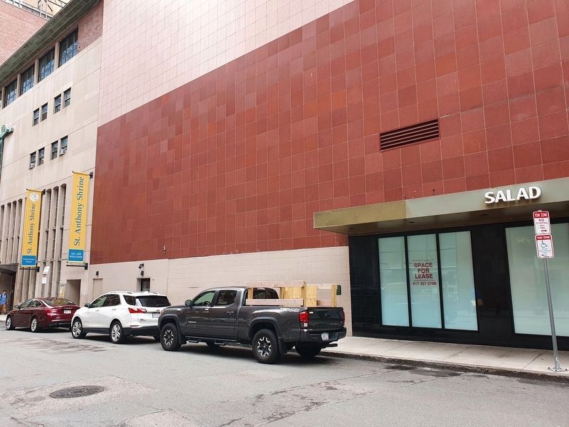
Location. 42° 21.273′ N, 71° 3.531′ W. Marker is in Boston, Massachusetts, in Suffolk County. It is in Downtown Crossing. Marker is at the intersection of Arch Street and Summer Street, on the right when traveling north on Arch Street. Touch for map. Marker is in this post office area: Boston MA 02110, United States of America. Touch for directions.
Other nearby markers. At least 8 other markers are within walking distance of this marker. Birthplace of Ralph Waldo Emerson (within shouting distance of this marker); Trinity Church in the City of Boston (about 400 feet away, measured in a direct line); Trinity Church (about 400 feet away); Franklin Place (about 400 feet away); Jordan Marsh (about 400 feet away); Beginning of Jordan Marsh (about 500 feet away); The Hull Mint (about 500 feet away); Jean Lefebvre Decheverus (about 600 feet away). Touch for a list and map of all markers in Boston.
Credits. This page was last revised on February 18, 2024. It was originally submitted on June 30, 2021, by J. Makali Bruton of Accra, Ghana. This page has been viewed 174 times since then and 27 times this year. Photos: 1, 2. submitted on June 30, 2021, by J. Makali Bruton of Accra, Ghana. 3. submitted on February 18, 2024, by Allen C. Browne of Silver Spring, Maryland.


