Truckee in Nevada County, California — The American West (Pacific Coastal)
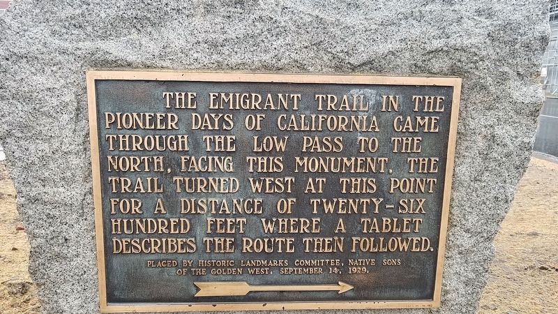
The Emigrant Trail
Erected 1929 by Historic Landmarks Committee, Native Sons of the Golden West.
Topics and series. This historical marker is listed in this topic list: Landmarks. In addition, it is included in the Native Sons/Daughters of the Golden West series list.
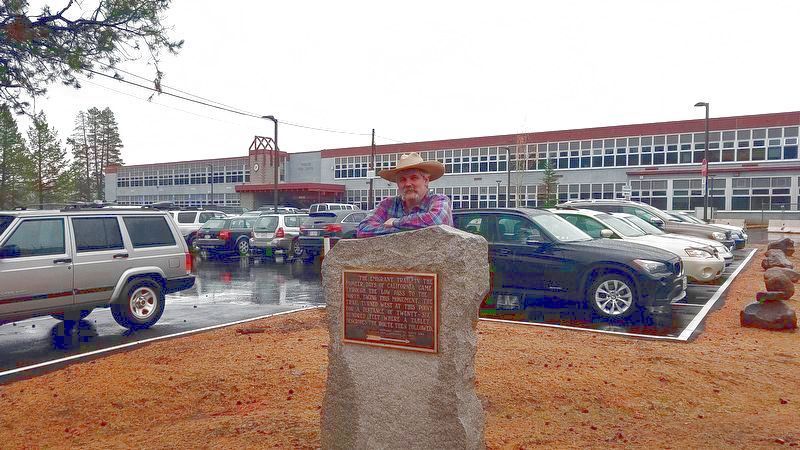
Location. 39° 19.533′ N, 120° 13′ W. Marker is in Truckee, California, in Nevada County. Marker is on Donner Pass Road near Northwoods Boulevard, on the left when traveling west. The marker stands alongside the driveway to the high school. Touch for map. Marker is at or near this postal address: 11725 Donner Pass Road, Truckee CA 96161, United States of America. Touch for directions.
Other nearby markers. At least 8 other markers are within 2 miles of this marker, measured as the crow flies. First Permanent Emigrant Trail Markers (here, next to this marker); The Gateway Cabin (approx. 0.2 miles away); Donner Party (approx. 0.8 miles away); Schallenberger Cabin Site (approx. 0.8 miles away); a different marker also named Donner Party (approx. 0.9 miles away); Rocking Stone (approx. 1˝ miles away); World War I Memorial / Victory Highway Monument (approx. 1.6 miles away); Old Truckee Jail (approx. 1.6 miles away). Touch for a list and map of all markers in Truckee.
More about this marker. This marker was part of a plan in 1929 to mark the entire Emigrant Trail. Unfortunately, this and one other nearby marker are as far as it went. Nevertheless, they both contain good information gleaned from interviews of surviving emigrants from that time period.
Related markers. Click here for a list of markers that are related to this marker.
Credits. This page was last revised on July 6, 2021. It was originally submitted on July 2, 2021, by James King of San Miguel, California. This page has been viewed 230 times since then and 48 times this year. Photos: 1, 2. submitted on July 2, 2021, by James King of San Miguel, California. • Syd Whittle was the editor who published this page.

