Near Bland in Bland County, Virginia — The American South (Mid-Atlantic)
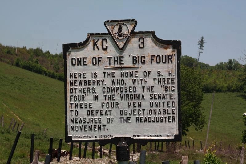
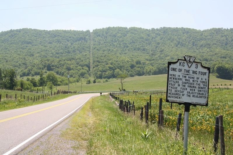
One of the "Big Four"
Erected 1927 by Conservation & Development Commission. (Marker Number KC-3.)
Topics and series. This historical marker is listed in this topic list: Government & Politics. In addition, it is included in the Virginia Department of Historic Resources (DHR) series list.
Location. This marker has been replaced by another marker nearby. It was located near 37° 3.048′ N, 81° 11.295′ W. Marker was near Bland, Virginia, in Bland County. Marker was on South Scenic Highway (Route 52) half a mile west of Waddletown Road (Virginia Route 617), on the right when traveling west. Touch for map. Marker was at or near this postal address: 3400 US-52, Bland VA 24315, United States of America. Touch for directions.
Other nearby markers. At least 8 other markers are within 6 miles of this location, measured as the crow flies. A different marker also named One of the “Big Four” (here, next to this marker); Toland’s Raid (approx. 2.2 miles away); Wythe County / Bland County (approx. 2.2 miles away); Battle of Wytheville (approx. 2.2 miles away); a different marker also named Battle of Wytheville (approx. 2.8 miles away); Homesteader's Legacy (approx. 3.4 miles away); Bland (approx. 5 miles away); Bland County Confederate Monument (approx. 5.3 miles away). Touch for a list and map of all markers in Bland.
Related marker. Click here for another marker that is related to this marker. This marker has been replaced with the linked marker.
Credits. This page was last revised on July 3, 2021. It was originally submitted on July 3, 2021, by J. J. Prats of Powell, Ohio. This page has been viewed 294 times since then and 35 times this year. Photos: 1, 2. submitted on June 5, 2011, by J. J. Prats of Powell, Ohio. • Devry Becker Jones was the editor who published this page.

