Byron Center in Kent County, Michigan — The American Midwest (Great Lakes)
Byron Township Hall
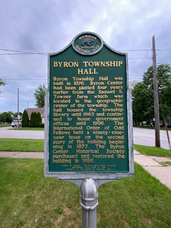
Photographed by J.T. Lambrou, July 3, 2021
1. Byron Township Hall Marker
Side 1
In 1896 William Jennings Bryan, the “silver-tongued orator,” spoke here while stumping the country as the Democratic presidential candidate. Gerald R. Ford often met here with his constituents during his thirteen terms as Michigan’s Fifth District Congressman. The Byron Township Hall served as a forum for political speeches and provided space for community activities such as dances, weddings, meetings, and church services. It became the Byron Township Historical Museum in 1987.
Erected 1990 by Bureau of History, Michigan Department of State. (Marker Number L1451.)
Topics and series. This historical marker is listed in this topic
this page online
Location. 42° 48.666′ N, 85° 43.541′ W. Marker is in Byron Center, Michigan, in Kent County. It is at the intersection of Prescott Street Southwest and Harlow Avenue Southwest, on the right when traveling east on Prescott Street Southwest. Touch for map. Marker is at or near this postal address: 2506 Prescott St SW, Byron Center MI 49315, United States of America. Touch for directions.

Regionally, this marker is in West Michigan and in Greater Grand Rapids. It is also in the American Midwest. Globally, it is in North America, the Western Hemisphere, the Western World, and the Anglosphere. Historically, it finds itself in what was once the Northwest Territory.
Other nearby markers. At least 8 other markers are within 8 miles of this marker, measured as the crow flies: John Isaac Cutler House (approx. 4 miles away); The Anchor (approx. 4.9 miles away); 126th Infantry (approx. 5.3 miles away); Army National Guard Veterans Memorial (approx. 5.3 miles away); Jamestown Veterans Park
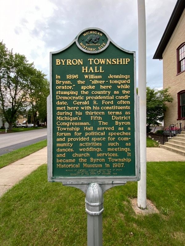
Photographed by J.T. Lambrou, July 3, 2021
2. Byron Township Hall Marker
Side 2
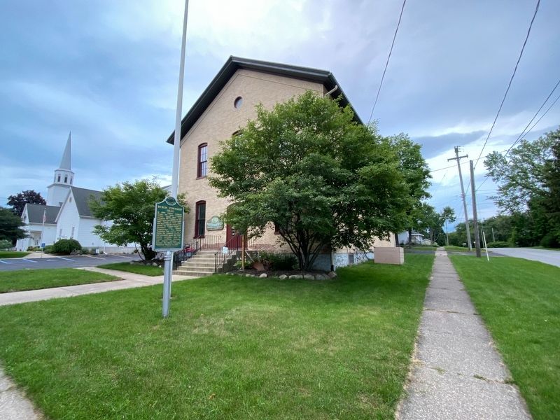
Photographed by J.T. Lambrou, July 3, 2021
3. Byron Township Hall Marker
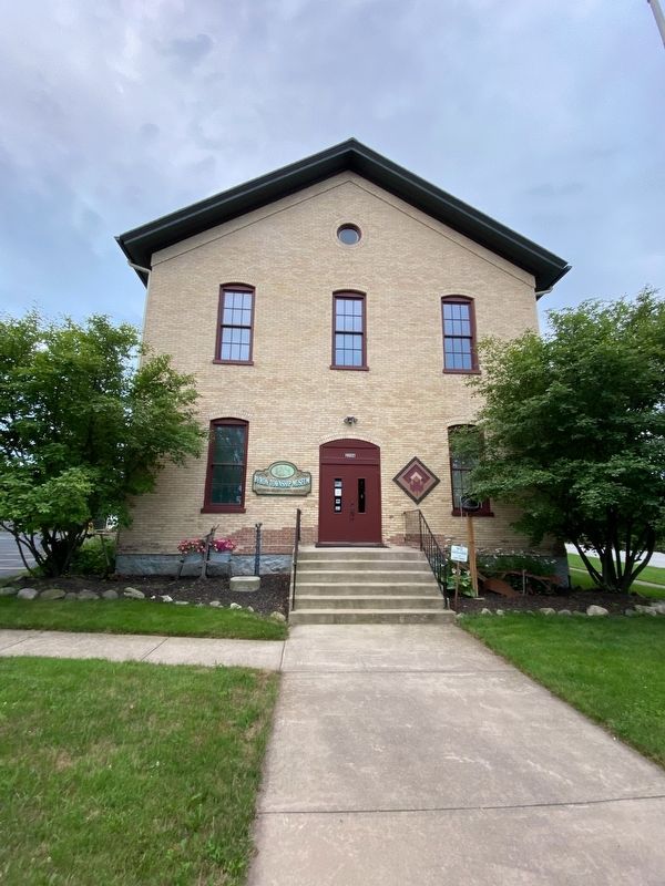
Photographed by J.T. Lambrou, July 3, 2021
4. Byron Township Hall
Credits. This page was last revised on July 5, 2021. It was originally submitted on July 5, 2021, by J.T. Lambrou of New Boston, Michigan. This page has been viewed 863 times since then and 52 times this year. Photos: 1, 2, 3, 4. submitted on July 5, 2021, by J.T. Lambrou of New Boston, Michigan. • Mark Hilton was the editor who published this page.
