Presidio of San Francisco in San Francisco City and County, California — The American West (Pacific Coastal)
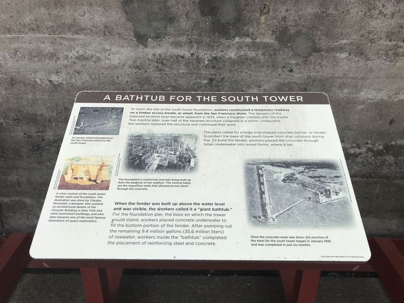
A Bathtub for the South Tower
The plans called for a huge oval-shaped concrete barrier, or fender, to protect the base of the south tower from ship collisions during fog. To build the fender, workers placed the concrete through tubes underwater into wood forms, where it set.
When the fender was built up above the water level and was visible, the workers called it a "giant bathtub." For the foundation pier, the base on which the tower would stand, workers placed concrete underwater to fill the bottom portion of the fender. After pumping out the remaining 9.4 million gallons (35.6 million liters) of seawater, workers inside the "bathtub” completed the placement of reinforcing steel and concrete.
Captions:
Top left:An access wharf extended from the San Francisco shore to the south tower. Bev Washburn Collection, Golden Gate Bridge, Highway and Transportation District
Bottom left: A cross section of the south tower fender walls and foundation. The illustration was done by Chesley Bonestell, a designer who worked on architectural details of the Chrysler Building in New York and other prominent buildings, and who later became one of the most famous illustrators of space exploration. Chesley Bonestell, Golden Gate Bridge, Highway and Transportation District
Center: The foundation's reinforced concrete being built up from the bedrock of the seafloor. The vertical tubes are the inspection wells that allowed access down through the concrete. Bev Washburn Collection, Golden Gate Bridge, Highway and Transportation District
Right: Once the concrete work was done, the erection of the steel for the south tower began in January 1935 and was completed in just six months. Bev Washburn Collection, Golden Gate Bridge, Highway and Transportation District
Erected 2012 by Golden Gate Bridge, Highway and Transportation District.
Topics. This historical marker is listed in these topic lists: Architecture • Bridges & Viaducts. A significant historical month for this entry is January 1935.
Location. 37° 48.489′ N, 122° 28.55′ W. Marker is in San Francisco, California, in San Francisco City and County. It is in Presidio of San Francisco.
Marker can be reached from Coastal Trail. Marker is in the Battery Lancaster exhibit area of the Golden Gate Bridge Vista Point South overlook. Touch for map. Marker is in this post office area: San Francisco CA 94129, United States of America. Touch for directions.
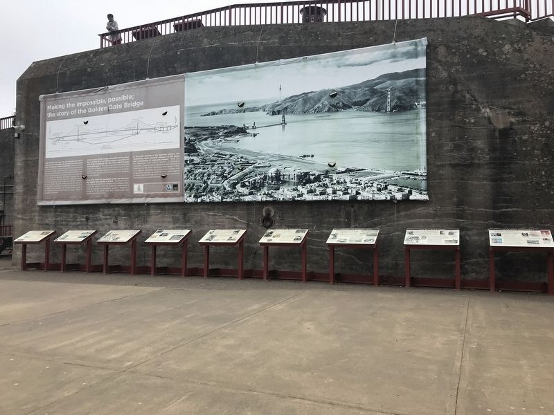
Other nearby markers. At least 8 other markers are within walking distance of this marker. World's Tallest Bridge Towers (here, next to this marker); Working Under Water (here, next to this marker); Engineering the Design (here, next to this marker); Making the Impossible, Possible: The Story of the Golden Gate Bridge (here, next to this marker); Spinning the Main Cables (here, next to this marker); Fort Point Arch (here, next to this marker); Hanging the Roadway Deck (here, next to this marker); Bridging the Gate — the Beginning (here, next to this marker). Touch for a list and map of all markers in San Francisco.
Credits. This page was last revised on February 7, 2023. It was originally submitted on July 6, 2021, by Duane and Tracy Marsteller of Murfreesboro, Tennessee. This page has been viewed 218 times since then and 67 times this year. Photos: 1, 2. submitted on July 6, 2021, by Duane and Tracy Marsteller of Murfreesboro, Tennessee.

