Presidio of San Francisco in San Francisco City and County, California — The American West (Pacific Coastal)
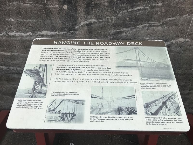
Hanging the Roadway Deck
An advantage of a suspension bridge is that once the towers, anchorages, and main cables are installed, no temporary supports are needed under the bridge to build the roadway deck. The deck is built in sections, proceeding out from the towers in a balanced way, each section hung from the suspenders.
The final piece of the overall structure, the roadway deck structure with its paving, was in place by April 19, 1937, about a month before the Bridge opened.
Captions
Top left: Solid steel beams across the width of the deck are supported by the steel trusses running the length of the Bridge. Under the deck is the temporary safety net. Bev Washburn Collection, Golden Gate Bridge, Highway and Transportation District
Bottom row, left to right:
• The steel trusses may seem small from a distance, but they are 25 feet (7.6 meters) deep. Bancroft Library, University of California, Berkeley
• Looking north, toward the Marin County end of the Bridge. The suspender ropes are in place, ready for deck installation. Bancroft Library, University of California, Berkeley
• In the foreground at left is a grooved clamp or cable band on the main cable, with steel suspender ropes going over it and attached to the deck to hold it up. Bancroft Library, University of California, Berkeley
Top right: During construction, sections of the roadway deck slowly grew to meet in the middle and reach the land on both sides of the Golden Gate. Golden Gate Bridge, Highway and Transportation District
Erected 2012 by Golden Gate Bridge, Highway and Transportation District.
Topics. This historical marker is listed in these topic lists: Architecture • Bridges & Viaducts. A significant historical date for this entry is April 19, 1937.
Location. 37° 48.491′ N, 122° 28.551′ W. Marker is in San Francisco, California, in San Francisco City and County. It is in Presidio of San Francisco. Marker is on Coastal Trail. Marker is in the Battery Lancaster exhibit area of the Golden Gate Bridge Vista Point South overlook.
Touch for map. Marker is in this post office area: San Francisco CA 94129, United States of America. Touch for directions.
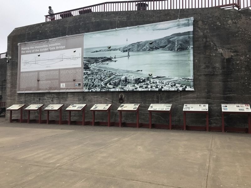
Other nearby markers. At least 8 other markers are within walking distance of this marker. All in a Day's Work (here, next to this marker); Spinning the Main Cables (here, next to this marker); A Lasting Monument (here, next to this marker); World's Tallest Bridge Towers (here, next to this marker); A Bathtub for the South Tower (here, next to this marker); Working Under Water (here, next to this marker); Fort Point Arch (here, next to this marker); Making the Impossible, Possible: The Story of the Golden Gate Bridge (here, next to this marker). Touch for a list and map of all markers in San Francisco.
Credits. This page was last revised on February 7, 2023. It was originally submitted on July 6, 2021, by Duane and Tracy Marsteller of Murfreesboro, Tennessee. This page has been viewed 119 times since then and 17 times this year. Photos: 1, 2. submitted on July 6, 2021, by Duane and Tracy Marsteller of Murfreesboro, Tennessee.

