Near Fort Ransom in Ransom County, North Dakota — The American Midwest (Upper Plains)
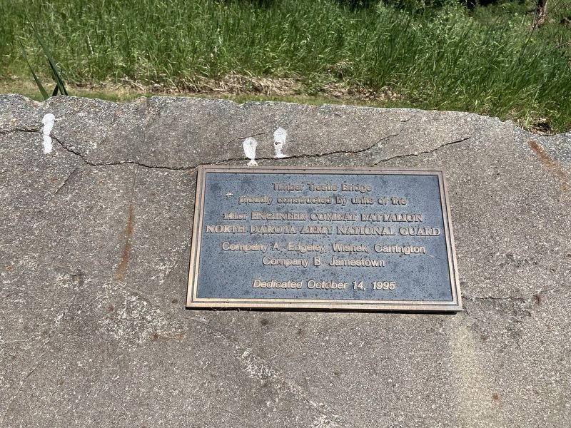
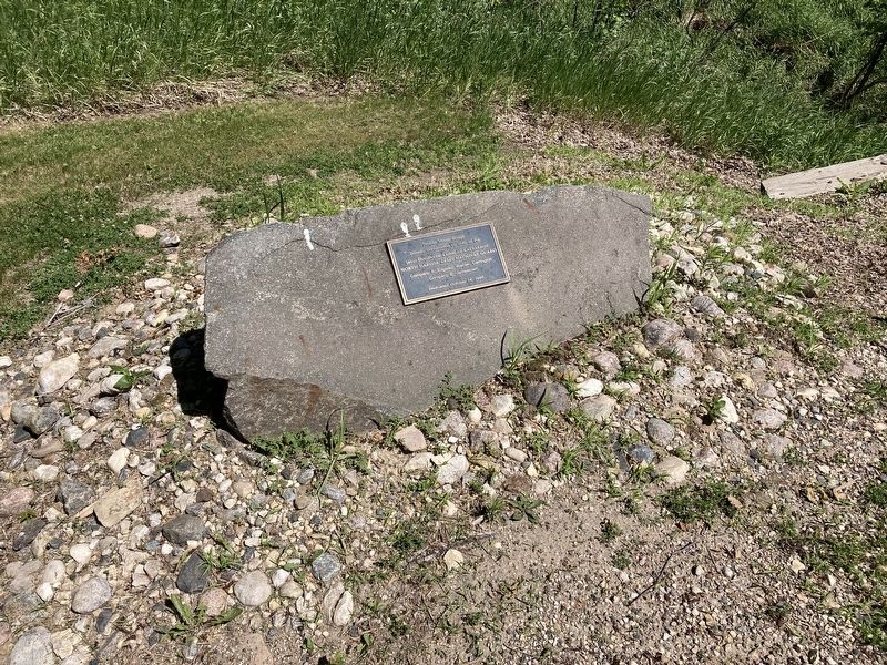
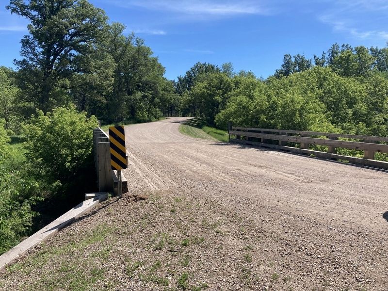
Timber Trestle Bridge
proudly constructed by units of the
14151 Engineer Combat Battalion
North Dakota Army National Guard
Company A--Edgeley Wishek Carrington
Company B-Jamestown
Dedicated October 14, 1995
Erected 1995.
Topics. This historical marker is listed in this topic list: Bridges & Viaducts. A significant historical date for this entry is October 14, 1995.
Location. 46° 32.949′ N, 97° 56.048′ W. Marker is near Fort Ransom, North Dakota, in Ransom County. Marker is on Mill Road near Walt Hjelle Parkway, on the left when traveling north. Located in Fort Ransom State Park. Touch for map. Marker is at or near this postal address: 5981 Walt Hjelle Pkwy, Fort Ransom ND 58033, United States of America. Touch for directions.
Other nearby markers. At least 8 other markers are within 6 miles of this marker, measured as the crow flies. Standing Rock Lutheran Church (approx. 0.2 miles away); An Ancient Sea / Glacial Meltwater Trench (approx. 0.4 miles away); Native Prairies / Ecosystem Under Siege (approx. 0.4 miles away); Pyramid Hill / Fort Ransom’s Remarkable Survival (approx. 1.9 miles away); Fort Ransom Historic Site (approx. 2.1 miles away); Writing Rock / Native American Legends (approx. 2.1 miles away); Historic Fort Ransom / Life at the Fort (approx. 2.1 miles away); Standing Rock Hill Historic Site (approx. 5.3 miles away). Touch for a list and map of all markers in Fort Ransom.
Credits. This page was last revised on July 6, 2021. It was originally submitted on July 6, 2021, by Connor Olson of Kewaskum, Wisconsin. This page has been viewed 129 times since then and 13 times this year. Photos: 1, 2, 3. submitted on July 6, 2021, by Connor Olson of Kewaskum, Wisconsin. • Mark Hilton was the editor who published this page.


