Near Pierre in Hughes County, South Dakota — The American Midwest (Upper Plains)
Lindbergh Landing Site
Photographed by Ruth VanSteenwyk, July 18, 2017
1. Lindbergh Landing Site Marker
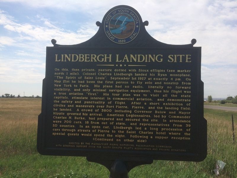
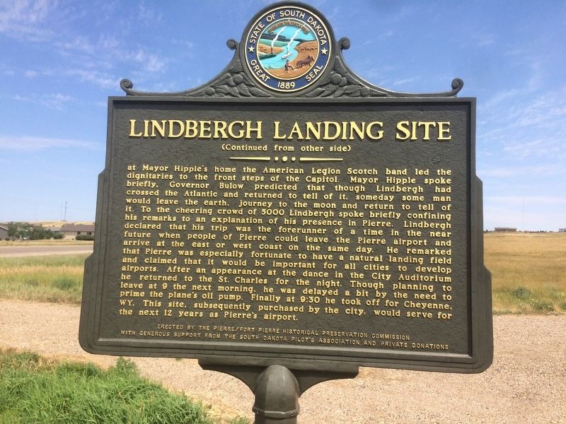
On this, then private, pasture dotted with Sioux Effigies (see marker north 1 mile), Colonel Charles Lindbergh landed his Ryan monoplane, "The Spirit of Saint Louis", September 1st 1927 at exactly 4 pm. On May 21st he had been the first person to fly solo and nonstop from New York to Paris. His plane had no radio, literally no forward visibility, and only minimal navigation equipment, thus his flight was a true aviation "first." His tour plan was to visit all the state capitals, stimulate interest in commercial aviation, and demonstrate the safety and punctuality of flight. After a short exhibition of circles and maneuvers over Fort Pierre, Pierre, and the landing field; he landed. A crowd of 3800 including Governor Bulow and Mayor Hipple greeted his arrival. American Legionnaires, led by Commander Charles H. Burke, had prepared and secured the site. In attendance were 700 cars, 18 from out of state, and representatives from 39 SD counties. In an open car, Lindbergh led a long procession of cars through streets of Pierre to the Saint Charles hotel where the special guests would spend the night. Following a supper reception
this page online
Erected 2013
Photographed by Ruth VanSteenwyk, July 18, 2017
2. Lindbergh Landing Site Marker
Topics and series. This historical marker is listed in these topic lists: Air & Space • Industry & Commerce. In addition, it is included in the South Dakota State Historical Society Markers series list. A significant historical date for this entry is September 1, 1927.
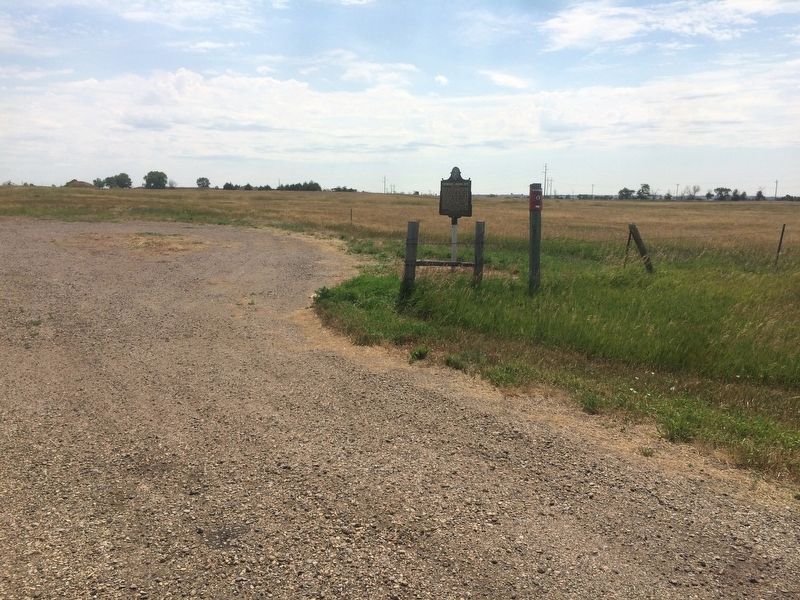
Location. 44° 24.844′ N, 100° 20.993′ W. Marker is near Pierre, South Dakota, in Hughes County. It is on South Dakota Route 1804 0.2 miles north of Range Road, on the right when traveling north. Touch for map. Marker is in this post office area: Pierre SD 57501, United States of America. Touch for directions.

Regionally, this marker is in East River. It is also in the American Lewis & Clark Corridor, on the prairies, and on the Northern Plains. Globally, it is in North America, the Western Hemisphere, the Western World, and the Anglosphere. Historically, it finds itself in what was once Rupert’s Land and also the Louisiana Purchase.
Other nearby markers. At least 8 other markers are within 3 miles
Photographed by Ruth VanSteenwyk, July 18, 2017
3. Lindbergh Landing Site Marker
Credits. This page was last revised on February 15, 2026. It was originally submitted on January 16, 2018, by Ruth VanSteenwyk of Aberdeen, South Dakota. This page has been viewed 1,520 times since then and 76 times this year. Last updated on July 7, 2021, by Ruth VanSteenwyk of Aberdeen, South Dakota. Photos: 1, 2, 3. submitted on January 16, 2018, by Ruth VanSteenwyk of Aberdeen, South Dakota. • Mark Hilton was the editor who published this page.
