Blacksburg in York County, South Carolina — The American South (South Atlantic)
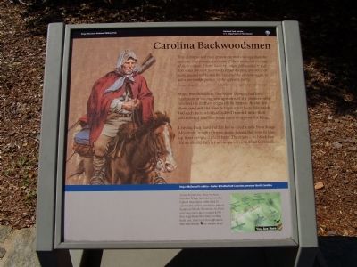
Carolina Backwoodsmen
George Hanger, British Officer formerly attached to Ferguson's Provincial corps
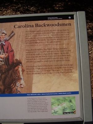
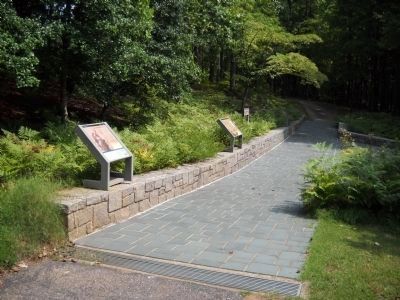
Many British leaders, like Major Hanger, had little hesitation in voicing low opinions of the pioneers who lived on the farthest edges of the Empire. As the first shots rang out, the woods to your were filled with 160 such men, who had indeed traveled more than 200 miles of roadless wilderness to oppose the King.
Leaving their hard-ridden horses tied a mile from Kings Mountain, rough riflemen rushed along the slope take up their assigned place here. Their job-to block the Tories should they try to escape to rejoin Lord Cornwallis.
Erected by Kings Mountain National Military Park - National Park Service - U.S. Department of the Interior.
Topics. This historical marker is listed in this topic list: War, US Revolutionary.
Location. 35° 8.488′ N, 81° 22.64′ W. Marker is in Blacksburg, South Carolina, in York County. Marker can be reached from Kings Mountain Park Road, on the right when traveling east. Located along a 1.5 mile walking trail around the Kings Mountain Battlefield. Touch for map. Marker is in this post office area: Blacksburg SC 29702, United States of America. Touch for directions.
Other nearby markers. At least 8 other markers are within walking distance of this marker. Liberty! (here, next to this marker); God Save the King! (a few steps from this marker); Americans Vanquished (within shouting distance of this marker); American Victors (about 300 feet away, measured in a direct line); Two Parks, One Mountain (about 400 feet away); Kings Mountain Battlefield Trail (about 400 feet away); Fighting in a Forest Primeval (about 500 feet away); Major Winston's (about 600 feet away). Touch for a list and map of all markers in Blacksburg.
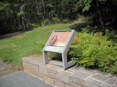
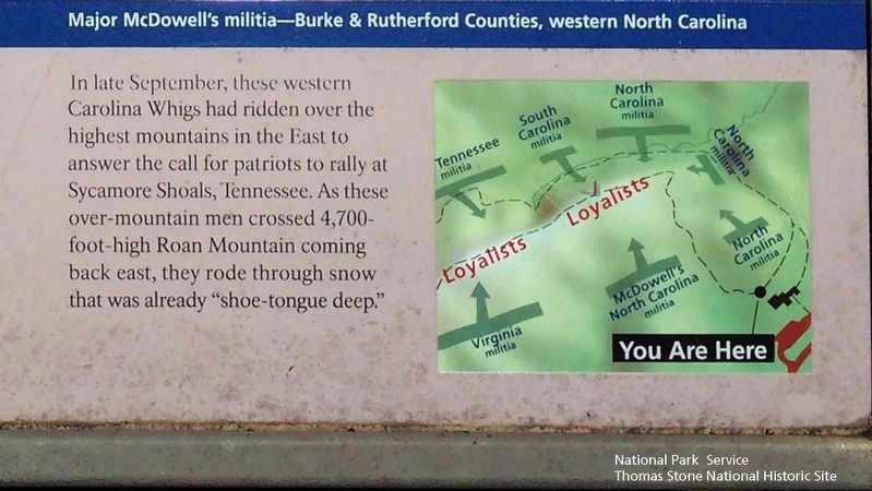
More about this marker. The background of the marker is a depiction of a militia men from Western North Carolina. In the lower right is a map of the battle showing the location where McDowell's Militia fought.
Also see . . .
1. Kings Mountain National Military Park, National Park Service. (Submitted on September 1, 2019.)
2. Kings Mountain National Military Park, Historic Resource Study, National Park Service. (Submitted on September 1, 2019.)
Photographed By David Lassman, May 28, 2019
3. Major McDowell's militia—Burke & Rutherford Counties, western North Carolina (Marker's inset.)
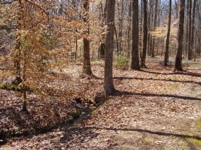
Viewing north towards marker.
This inset is located on the bottom right corner of the marker.
A map lists the following forces participating in the battle against the Loyalists: Tennessee militia, South Carolina militia, North Carolina militia, McDowell's North Carolina militia, and the Virginia militia.
Credits. This page was last revised on September 9, 2019. It was originally submitted on April 5, 2009, by Stanley and Terrie Howard of Greer, South Carolina. This page has been viewed 967 times since then and 22 times this year. Photos: 1, 2. submitted on April 5, 2009, by Stanley and Terrie Howard of Greer, South Carolina. 3. submitted on September 2, 2019. 4. submitted on April 5, 2009, by Stanley and Terrie Howard of Greer, South Carolina. 5, 6. submitted on August 22, 2010, by Bill Coughlin of Woodland Park, New Jersey. • Craig Swain was the editor who published this page.
