Cumberland in Allegany County, Maryland — The American Northeast (Mid-Atlantic)
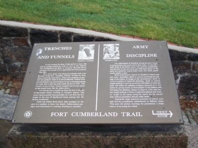
Trenches and Tunnels / Army Discipline
— Fort Cumberland Trail —
It was common for forts of this period to have rifle pits or trenches outside the walls as a line of first defense. Fort Cumberland was likely no exception. However, the excavations most people refer to apparently had other purposes than this.
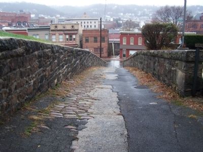
Two water gates were along the palisade walls near the point of the fort. Trenches, tunnels, or both ran from these toward the creek below. They were necessary to protect men going for water or to the storehouses located down the hill (behind you) from Indians. It was so hazardous going for water that a well was sunk inside the fort in 1756. The remains of one of these "trench-tunnels" can be seen ahead on the church lawn. See the photo above.
It is known that a tunnel ran from the fort to the site of the present library building in Prospect Square. One source reports another tunnel possibly ran west from the fort proper to the area of Smallwood Street passing near the present courthouse.
Little was written down about these passages by the men in a position to know the details. Subterranean passages were mentioned in a meeting Washington attended.
The enforcement of discipline among the army troops in colonial days was much sterner than today. It was especially harsh in the British Army. The common punishment was the lash on the bare back and 1000 lashes given at the same time generally caused death while 600 could permanently cripple a man.
Some punishments ordered by Braddock while in this area were: immediate death to anyone preventing the passage of provisions or forage to the encampment, death or various numbers of lashes for desertion, death to anyone caught stealing or wasting provisions, 600 lashes or more for theft, 300 lashes for gaming or being a spectator to it, 250 lashes for giving money or strong liquor to the Indians, and 200 lashes for drinking. Orders on June 11, 1755, said anyone caught stealing would be hanged immediately and women caught in the camps along the march for the second time without permission should suffer death.
Sometimes large sentences (number of lashes) were split and the punishment administered at different times. This gave the person receiving the punishment a better chance of surviving the ordeal.
Topics. This historical marker is listed in these topic lists: Forts and Castles • Military. A significant historical month for this entry is June 1754.
Location. 39° 39.017′ N, 78° 45.89′ W. Marker is in Cumberland, Maryland, in Allegany County. Marker is on Prospect Square. Marker is in front of the Masonic Hall. Touch for map. Marker is in this post office area: Cumberland MD 21502, United States of America. Touch for directions.
Other nearby markers. At least 8 other markers are within walking distance of this marker. Abandonment of Ft. Cumberland (here, next to this marker); Col. Thomas Cresap (within shouting distance of this marker); National Road Monument (within shouting distance of this marker); Riverside Park (within shouting distance of this marker); Fort Cumberland Trail (within shouting distance of this marker); Where the Road Began (within shouting distance of this marker); Site of Fort Cumberland (within shouting distance of this marker); Alteration of the Site (within shouting distance of this marker). Touch for a list and map of all markers in Cumberland.
Credits. This page was last revised on June 16, 2016. It was originally submitted on April 5, 2009, by Bill Pfingsten of Bel Air, Maryland. This page has been viewed 1,620 times since then and 24 times this year. Photos: 1, 2. submitted on April 5, 2009, by Bill Pfingsten of Bel Air, Maryland.

