South San Francisco in San Mateo County, California — The American West (Pacific Coastal)
St. Paul's United Methodist Church
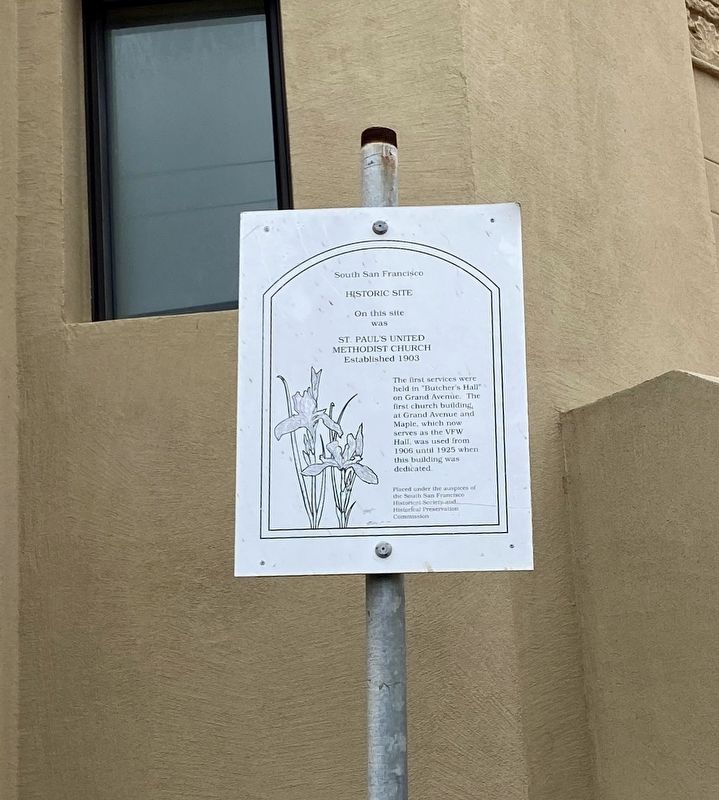
South San Francisco Historic Site
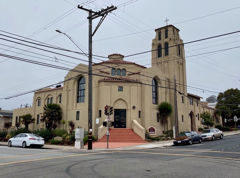
On this site was St. Paul's United Methodist Church
Established 1903
The first services were held in "Butcher's Hall" on Grand Avenue. The first church building, at Grand Avenue and Maple, which now serves as the VFW Hall, was used from 1906 until 1925 when this building was dedicated.
Erected by South San Francisco Historical Society, South San Francisco Historical Preservation Commission.
Topics. This historical marker is listed in this topic list: Churches & Religion. A significant historical year for this entry is 1903.
Location. 37° 39.456′ N, 122° 24.948′ W. Marker is in South San Francisco, California, in San Mateo County. Marker is at the intersection of Miller Avenue and Spruce Avenue, on the right when traveling west on Miller Avenue. Touch for map. Marker is at or near this postal address: 500 Miller Avenue, South San Francisco CA 94080, United States of America. Touch for directions.
Other nearby markers. At least 8 other markers are within walking distance of this marker. Eikerenkotter House (within shouting distance of this marker); General Hospital (about 400 feet away, measured in a direct line); South San Francisco General Hospital (about 400 feet away); Women's Club (about 400 feet away); Plymire-Schwarz House (about 500 feet away); Grand Avenue Library (about 700 feet away); a different marker also named Grand Avenue Library (about 700 feet away); City Hall (approx. 0.2 miles away). Touch for a list and map of all markers in South San Francisco.
Credits. This page was last revised on July 10, 2021. It was originally submitted on July 10, 2021, by Andrew Ruppenstein of Lamorinda, California. This page has been viewed 222 times since then and 28 times this year. Photos: 1, 2. submitted on July 10, 2021, by Andrew Ruppenstein of Lamorinda, California.

