Marysville in Perry County, Pennsylvania — The American Northeast (Mid-Atlantic)
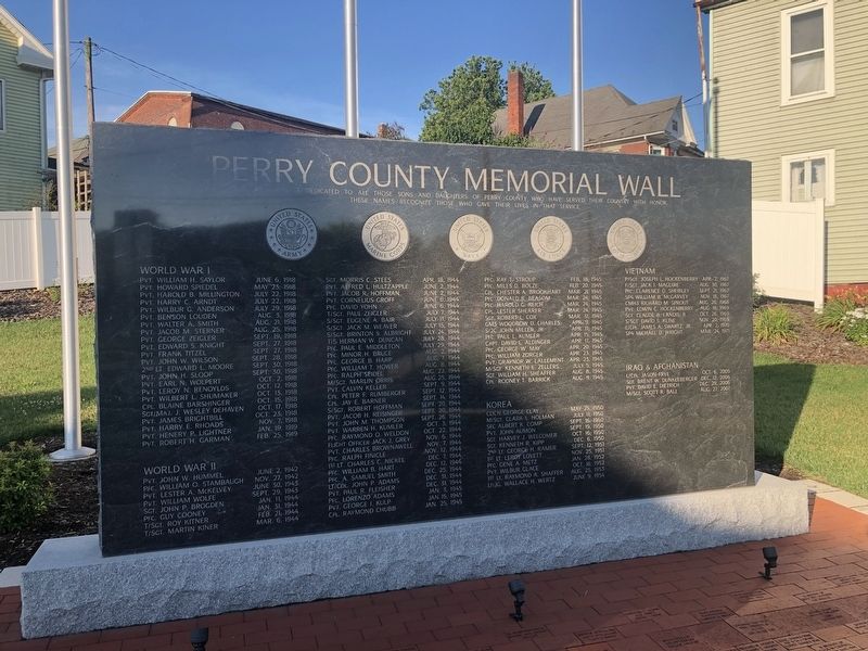
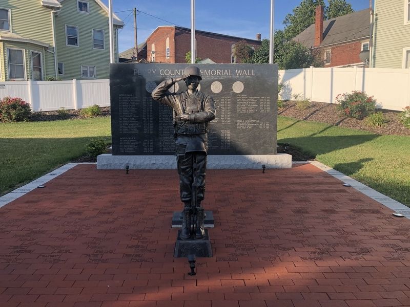
Perry County Memorial Wall
Topics. This memorial is listed in this topic list: Military.
Location. 40° 20.55′ N, 76° 55.791′ W. Marker is in Marysville, Pennsylvania, in Perry County. Memorial is at the intersection of South State Road (U.S. 11/15) and Front Street, on the right when traveling south on South State Road. Touch for map. Marker is at or near this postal address: 102 Front St, Marysville PA 17053, United States of America. Touch for directions.
Other nearby markers. At least 8 other markers are within one mile of this marker, measured as the crow flies. Veterans Memorial Park (within shouting distance of this marker); World Wars I and II Memorial (within shouting distance of this marker); Rockville Bridge (approx. 0.3 miles away); Village of Heckton (approx. one mile away); Fort Hunter History (approx. 1.1 miles away); Slavery at Fort Hunter (approx. 1.1 miles away); United States Slavery (approx. 1.1 miles away); Pennsylvania Slavery (approx. 1.1 miles away). Touch for a list and map of all markers in Marysville.
Credits. This page was last revised on July 11, 2021. It was originally submitted on July 11, 2021, by Devry Becker Jones of Washington, District of Columbia. This page has been viewed 191 times since then and 11 times this year. Photos: 1, 2. submitted on July 11, 2021, by Devry Becker Jones of Washington, District of Columbia.

