Bandon in Coos County, Oregon — The American West (Northwest)
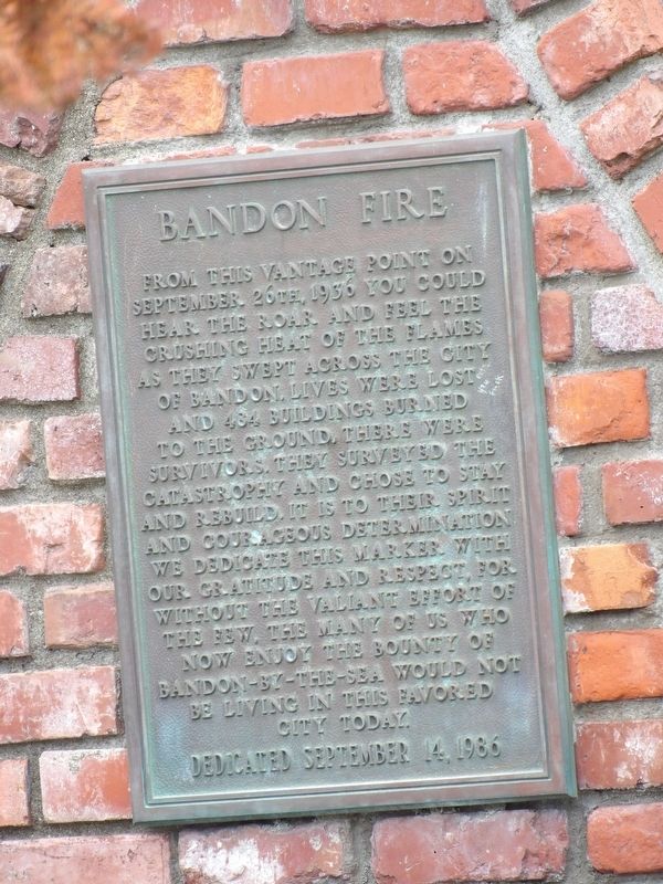
Bandon Fire
Erected 1986.
Topics. This historical marker is listed in this topic list: Disasters. A significant historical date for this entry is September 26, 1936.
Location. 43° 7.121′ N, 124° 24.77′ W. Marker is in Bandon, Oregon, in Coos County. Marker is on Chicago Avenue SE south of 2nd Street SW, on the right when traveling south. Touch for map. Marker is at or near this postal address: 230 2nd Street SW, Bandon OR 97411, United States of America. Touch for directions.
Other nearby markers. At least 4 other markers are within 14 miles of this marker, measured as the crow flies. Coquille River Lighthouse - 1896 (approx. 0.7 miles away); Judah Parker County Park (approx. 3.9 miles away); Sir Francis Drake 1540-1596 (approx. 12.9 miles away); Coos Bay Waters to Coquille Waters Trail (approx. 13.6 miles away).
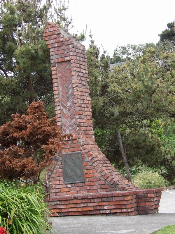
More about this marker. It is affixed to the town bakery's chimney, one of the few remnants of the inferno.
Also see . . .
1. Bandon Fire, 1936. Entry in The Oregon History Project. (Submitted on July 11, 2021, by Duane and Tracy Marsteller of Murfreesboro, Tennessee.)
2. Epic scenes of destruction: Bandon's 1936 annihilation is a shocking chapter in Oregon's fire ... By Douglas Perry in The Oregonian, posted September 7, 2017. Includes photographic slideshow detailing the devastation left behind by the blaze. (Submitted on July 11, 2021, by Duane and Tracy Marsteller of Murfreesboro, Tennessee.)
Credits. This page was last revised on July 11, 2021. It was originally submitted on July 11, 2021, by Duane and Tracy Marsteller of Murfreesboro, Tennessee. This page has been viewed 169 times since then and 25 times this year. Photos: 1, 2. submitted on July 11, 2021, by Duane and Tracy Marsteller of Murfreesboro, Tennessee.

