The War Bond Building
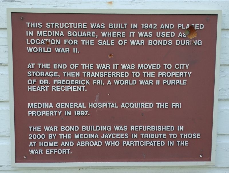
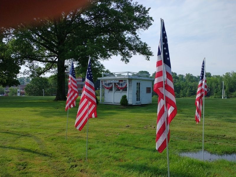
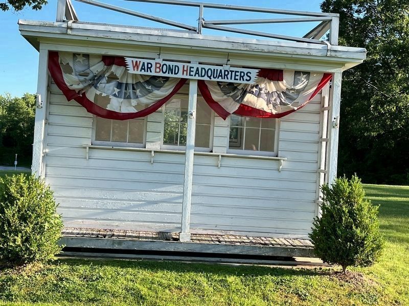
This structure was built in 1942 and placed in Medina Square, where it was used as a location for the sale of war bonds during Word War II.
At the end of the war it was moved to city storage, then transferred to the property of Dr. Frederick Fri, a World War II Purple Heart recipient.
Medina General Hospital acquired the Fri property in 1997.
The War Bond Building was refurbished in 2000 by the Medina Jaycees in tribute to those at home and abroad who participated in the war effort.
Topics and series. This historical marker is listed in these topic lists: Industry & Commerce • Patriots & Patriotism • War, World II. In addition, it is included in the Military Order of the Purple Heart series list. A significant historical year for this entry is 1942.
Location. 41° 8.333′ N, 81° 50.421′ W. Marker is in Medina, Ohio, in Medina County. Marker is on East Washington Street (Ohio Route 18) just east of Alber Drive, on the right when traveling east. Touch for map. Marker is at or near this postal address: 120 Alber Dr, Medina OH 44256, United States of America. Touch for directions.
Other nearby markers. At least 8 other markers are within 2 miles of this marker, measured as the crow flies. Spring Grove (approx. ¾ mile away); Saint Paul’s Episcopal Church (approx. one mile away); First Congregational Church of Medina (approx. 1.1 miles away); Medina County Courthouse
Credits. This page was last revised on June 27, 2022. It was originally submitted on July 11, 2021, by Tom Bosse of Jefferson City, Tennessee. This page has been viewed 268 times since then and 18 times this year. Photos: 1, 2. submitted on July 11, 2021, by Tom Bosse of Jefferson City, Tennessee. 3. submitted on June 18, 2022, by Grant & Mary Ann Fish of Galloway, Ohio. • Devry Becker Jones was the editor who published this page.


