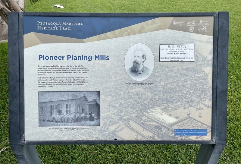
Pioneer Planing Mills
— Pensacola Maritime Heritage Trail —
Active in civic affairs, B. R. Pitt served as a county commissioner and alderman. He built the first water works in the City of Pensacola. He was also instrumental in the Pensacola Electric Light and Power Company. The first electric light shined bright in Pensacola on December 19, 1888.
Photo captions:
Left: Men standing outside of B. R. Pitt & Co. and Pensacola Water Co. Date unknown.
Portrait: Portrait of Benjamin Rafford Pitt, date unknown.
Background image: Pensacola, FL, county seat of Escambia
County 1885. Highlighted area is Pitt Slip
Erected 2016 by the City of Pensacola and the University of West Florida Historic Trust.
Topics. This historical marker is listed in this topic list: Industry & Commerce. A significant historical date for this entry is December 19, 1888.
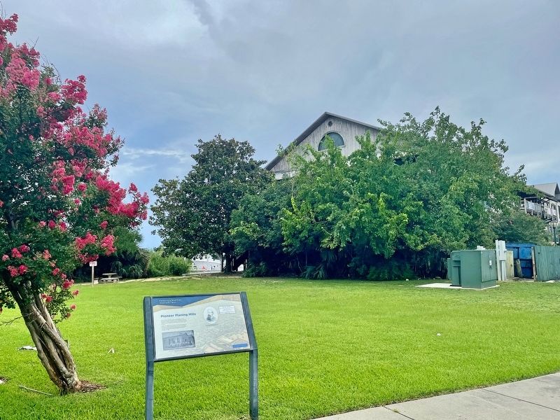
Location. 30° 24.447′ N, 87° 12.64′ W. Marker is in Pensacola, Florida, in Escambia County. Marker is on South Barracks Street south of Main Street (Florida Route
Other nearby markers. At least 8 other markers are within walking distance of this marker. Piers, Ports and Wharves: A Look At Pensacola's Waterfront (within shouting distance of this marker); Mooring Anchor (within shouting distance of this marker); Defending a Coastal Colony (within shouting distance of this marker); De Soto Trail / A Port with Promise (about 400 feet away, measured in a direct line); William Bartram Trail (about 400 feet away); Tivoli High House (about 500 feet away); Supremacy, Siege and the Sea (about 500 feet away); Old Christ Church (about 500 feet away). Touch for a list and map of all markers in Pensacola.
Credits. This page was last revised on July 12, 2021. It was originally submitted on July 12, 2021, by Mark Hilton of Montgomery, Alabama. This page has been viewed 135 times since then and 18 times this year. Photos: 1, 2, 3. submitted on July 12, 2021, by Mark Hilton of Montgomery, Alabama.


