Hermitage Springs in Clay County, Tennessee — The American South (East South Central)
Hermitage Springs
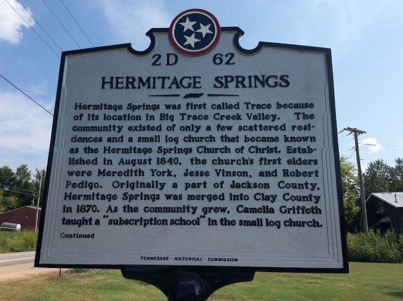
Hermitage Springs was first called Trace because of its location in Big Trace Creek valley. The community existed of only a few scattered residences and a small log church that became known as the Hermitage Springs Church of Christ. Established in August 1840, the church’s first elders were Meredith York, Jesse Vinson and Robert Pedigo. Originally a part of Jackson County, Hermitage Springs was merged into Clay County in 1870. As the community grew, Camelia Griffeth taught a “subscription school” in the small log church.
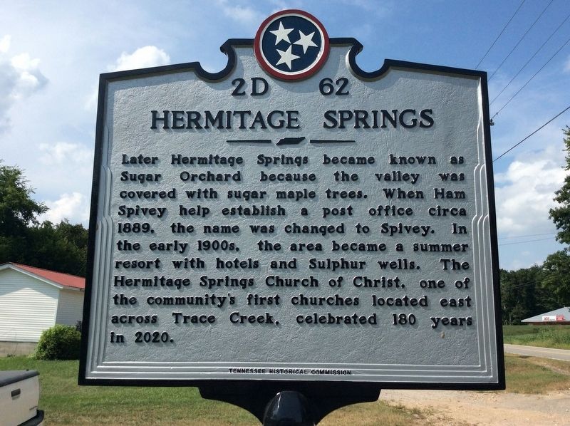
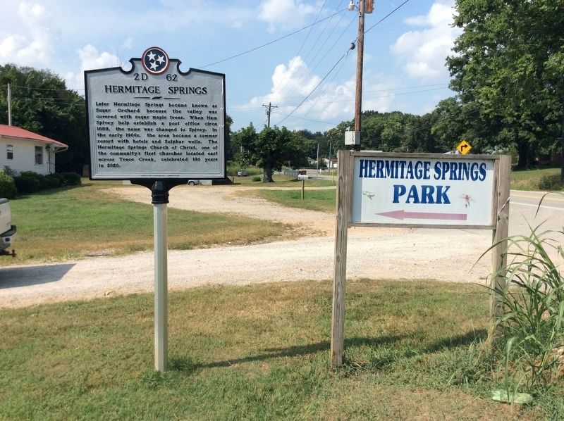
Later Hermitage Springs became known as Sugar Orchard because the valley was covered with sugar maple trees. When Ham Spivey helped establish a post office circa 1889, the name was changed to Spivey. In the early 1900s the area became a summer resort with hotels and sulphuric wells. The Hermitage Springs Church of Christ, one of the community’s first churches located east across Trace Creek, celebrated 180 years in 2020.
Erected 2021 by Tennessee Historical Commission. (Marker Number 2D 62.)
Topics and series. This historical marker is listed in these topic lists: Churches & Religion • Settlements & Settlers. In addition, it is included in the Tennessee Historical Commission series list.
Location. 36° 34.755′ N, 85° 46.745′ W. Marker is in Hermitage Springs, Tennessee, in Clay County. Marker is on State Highway 52, on the right when traveling south. The marker is located at the entrance to the Hermitage Springs Park. Touch for map. Marker is in this post office area: Red Boiling Springs TN 37150, United States of America. Touch for directions.
Other nearby markers. At least 8 other markers are within 5 miles of this marker, measured as the crow flies. Gamaliel (approx. 4.4 miles away in Kentucky); Gamaliel Cemetery (approx. 4½ miles away in Kentucky); Cloyd Bowling Alley (approx. 4.9 miles away); The Thomas House Bed and Breakfast (approx. 4.9 miles away); Donoho Bowling Alley (approx. 4.9 miles away); Donoho Hotel (approx. 4.9 miles away); McClellan's General Store (approx. 4.9 miles away); Red Boiling Springs Hotel (approx. 5 miles away).
Credits. This page was last revised on August 10, 2021. It was originally submitted on July 16, 2021, by Chad Comer of Gamaliel, Kentucky. This page has been viewed 611 times since then and 105 times this year. Photos: 1, 2, 3. submitted on August 8, 2021, by Chad Comer of Gamaliel, Kentucky. • Bill Pfingsten was the editor who published this page.


