Silverton in San Juan County, Colorado — The American Mountains (Southwest)
Hard Rock Resiliency
Colorado
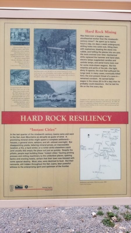
"Instant Cities"
In the last quarter of the nineteenth century, towns came and went in the San Juan Mountains as abruptly as gusts of wind. A promising mineral strike might spawn a complete settlement - houses, a general store, saloons, and all - almost overnight. But disappointing yields, faltering mineral prices, an inaccessible location, a fire, a hard winter, or a richer strike elsewhere could (and usually did) empty the place out just as quickly. Despite the pitfalls, people kept building these "instant cities," hauling printing presses and milling machinery to the unlikeliest places, opening banks and erecting hotels, certain that their town was blessed with some special destiny. Most, alas, were destined to bust. But their remnants, still hidden throughout the San Juans, bear powerful witness to the enterprising spirit and optimism of the frontier.
Hard Rock Mining
Was there ever a tougher, more stouthearted worker than the nineteenth century miner? He spent up to twelve hours a day, six days a week underground, drilling holes into solid rock, filling them with explosives, blasting the stone into rubble, and hefting the pieces into ore cars. His tools evolved over time: mechanical drills replaced the hammer and hand steel, electric lamps supplanted candles and carbide lamps, and aerial trams took over for some mule-drawn wagons. But the miseries and perils of the job - the tight, dimly lit spaces; the dust that suffused his lungs (and, in many cases, eventually killed him); the ever-present threat of a cave-in remained constant. He earned better wages in the mines ($3 to $4 a day) than he probably could elsewhere. But he laid his life on the line every day.
Captions
1. Silverton Labor Day rock drilling contest, mid-1930s. Drilling was a slow, tedious, and tiring process, yet it required an enormous amount of skill and precision. Today the town's annual Hard Rockers Holidays still offers the chance to test one's drilling prowess.
Courtesy Denver Public Library, Western History Collection
2. Located high above Silverton. the Silver Lake was one of the West's most modern mills. By 1899 (about the time of this photo) the Silver Lake processed 6,000 tons of ore per month and was equipped with electricity, telephones, drilling machines, and a steam heating plant.
Courtesy Denver Public Library, Western History Collection
3. San Juan mines were the first to use aerial tramways to help overcome the cost of freighting, bad weather, and high elevations. Trams often served as conveyances for the miners too, as seen in this photo, about 1895.
Colorado Historical Society
4. Founded in 1873 and the first San Juan county
seat Howardsville fought a losing battle for dominance with Silverton. By 1890, the town was completely eclipsed, and even western Colorado's first brewery (large building on the creek in 1883) picked up and left.
Colorado Historical Society
5. Settlements and mines, Silverton area, 1881.
Courtesy Allen Newmann
Erected 2002 by Colorado Historical Society and Colorado Department of Transportation.
Topics. This historical marker is listed in this topic list: Industry & Commerce. A significant historical year for this entry is 1899.
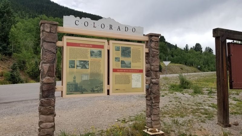
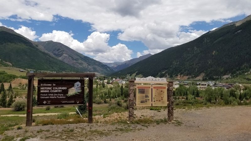
Location. 37° 48.294′ N, 107° 40.562′ W. Marker is in Silverton, Colorado, in San Juan County. Marker is on U.S. 550, 0.1 miles west of County Highway 31, on the left when traveling east. The marker is part of a group of four historical panels by the side of the road. Touch for map. Marker is in this post office area: Silverton CO 81433, United States of America. Touch for directions.
Other nearby markers. At least 8 other markers are within walking distance of this marker. Rails Into the San Juans (here, next to this marker); Silverton (here, next to this marker); Swivel End-Dump Car (approx. 0.3 miles away); Shaft "Can" Skip (approx. 0.3 miles away); Silver By The Ton (approx. 0.3 miles away); Silverton's Railroads (approx. 0.3 miles away); 1060 Reese (approx. 0.7 miles away); 1069 Greene (approx. 0.7 miles away). Touch for a list and map of all markers in Silverton.
Credits. This page was last revised on July 17, 2021. It was originally submitted on July 17, 2021, by James Hulse of Medina, Texas. This page has been viewed 122 times since then and 11 times this year. Photos: 1, 2, 3. submitted on July 17, 2021, by James Hulse of Medina, Texas.


