Lemay in St. Louis County, Missouri — The American Midwest (Upper Plains)
Veterans Memorial
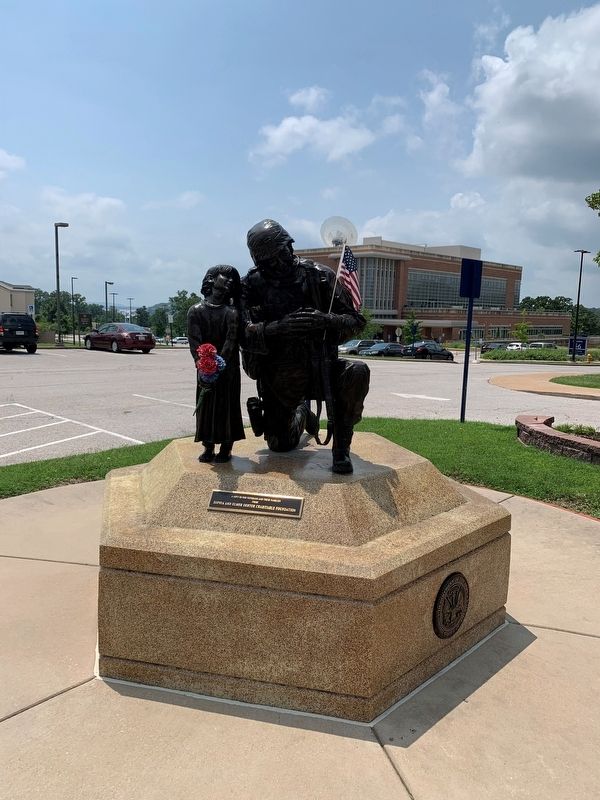
Photographed by Thomas Smith, July 17, 2021
1. Veterans Memorial
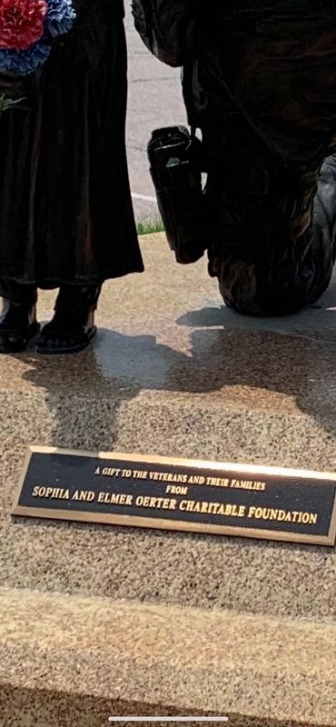
Erected by Sophia and Elmer Oerter Charitable Foundation.
Topics. This memorial is listed in this topic list: Military.
Location. Memorial is missing. It was located near 38° 29.52′ N, 90° 16.807′ W. Memorial was in Lemay, Missouri, in St. Louis County. It was at the intersection of South Circle Drive and East Circle Drive, in the median on South Circle Drive. Touch for map. Memorial was in this post office area: Saint Louis MO 63125, United States of America. Touch for directions.

Regionally, this memorial was in Greater St. Louis. It was also in the American Midwest, in the Lewis & Clark Corridor, in the Corn Belt, and in the Great River Road Region. Globally, it was in North America, the Western Hemisphere, the Western World, and the Anglosphere. Historically, it found itself in what was once the Viceroyalty of New France, the territory of the Mississippian Culture, the Louisiana Purchase, and the Antebellum South.
Other nearby markers. At least 8 other markers are within walking distance of this location: Veterans Path of Honor (within shouting distance of this marker); Civil War Memorial (approx. 0.4 miles away); In Memory of the Unknown Dead (approx. 0.4 miles away); Civil War Union Women Memorial (approx. 0.4 miles away); To The Confederate Dead 1861 - 1865 (approx. 0.4 miles away); Confederate Burials in the National Cemetery (approx. 0.4 miles away); Minnesota Civil War Memorial (approx. 0.4 miles away); Jefferson Barracks National Cemetery (approx. 0.4 miles away). Touch for a list and map of all markers in Lemay.
Additional commentary.
1. Missing marker & sculpture
On Memorial Day, May 26, 2025, I tried to find this marker in the hospital complex at Jefferson Barracks National
this page online
— Submitted June 6, 2025, by Garrett Koch of Saint Louis, Missouri.
Photographed by Thomas Smith, July 17, 2021
2. A Gift to the Veterans and their Families Marker
Credits. This page was last revised on June 14, 2025. It was originally submitted on July 18, 2021, by Thomas Smith of Waterloo, Ill. This page has been viewed 229 times since then and 15 times this year. Photos: 1, 2. submitted on July 18, 2021, by Thomas Smith of Waterloo, Ill. • Devry Becker Jones was the editor who published this page.
