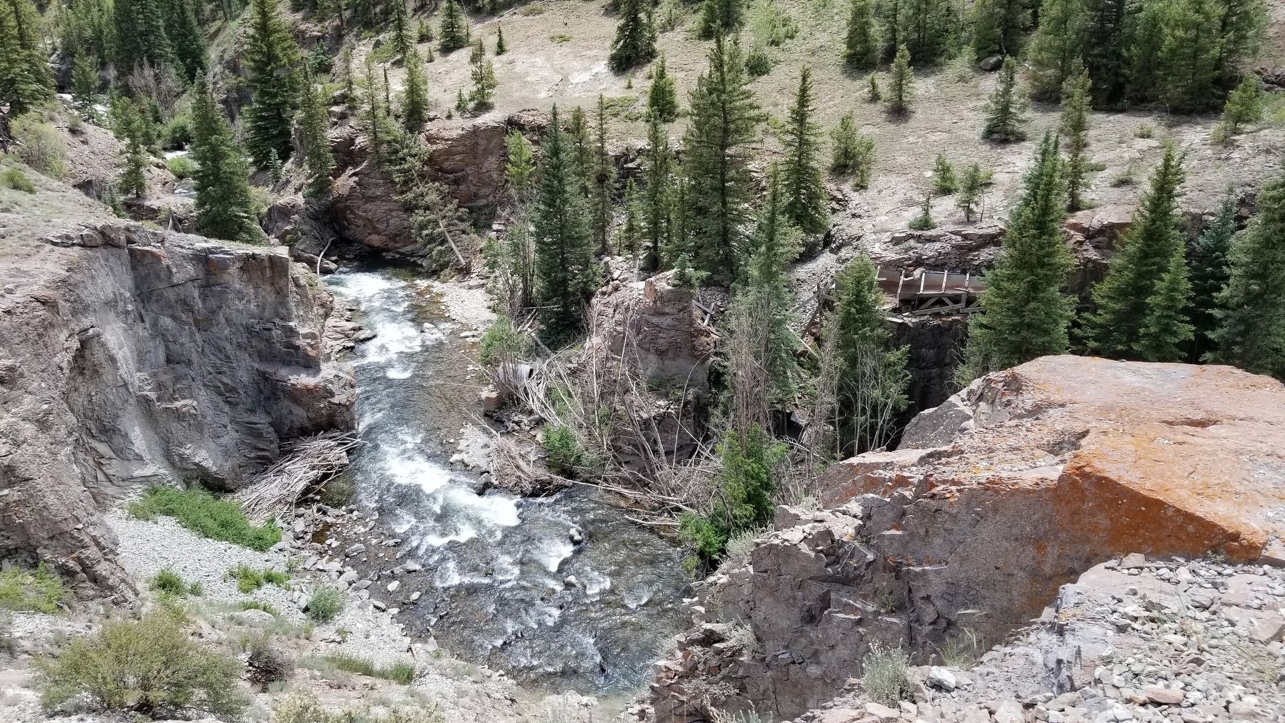
Near Lake City in Hinsdale County, Colorado — The American Mountains (Southwest)
Ute-Ulay
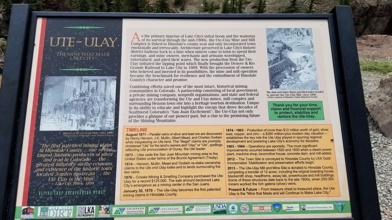
As the primary impetus of Lake City's initial boom and the mainstay of its survival through the mid-1900s, the Ute-Ulay Mine and Mill Complex is linked to Hinsdale's county seat and only incorporated town emotionally and irrevocably. Architecture preserved in Lake City's historic district harkens back to a time when miners came to town to spend their earnings, and mine owners, merchants and artisans worshipped, entertained, and plied their wares. The new production from the Ute Ulay initiated the tipping point which finally brought the Denver & Rio Grande Railroad to Lake City in 1889. With the procession of owners who believed and invested in its possibilities, the mine and mill operation became the benchmark for resilience and the embodiment of Hinsdale County's character and promise.
Combining efforts saved one of the most intact, historical mining communities in Colorado. A partnership consisting of local government, a private mining company, nonprofit organizations, and state and federal agencies are transforming the Ute and Ulay mines, mill complex and surrounding Henson town site into a heritage tourism destination. Unique in its ability to educate and highlight the energy that drove decades of Southwest Colorado's "San Juan Excitement"; the Ute-Ulay not only provides a glimpse of our pioneer past, but a clue to the promising future of the Shining Mountains.
Timeline
August 1871 - Parallel veins of silver and lead ore are discovered by Henry Henson, J.K. Mullin, Albert Mead, and Charles Godwin while trespassing on Ute land. The "illegal" claims are promptly christened "Ute" for the land's owners and "Ulay" or "Ule", spellings reflecting Ute pronunciation of Ouray, the Ute leader.
1873 Utes cede the San Juan Mountain mining area to the United States under terms of the Brunot Agreement (Treaty).
1874 - Henson, Mullin, Mead and Godwin re-stake ownership claims to the Ute and Ulay lodes and to lands surrounding the two veins.
1876 - Crooke Mining & Smelting Company purchased the Ute-Ulay for a record $125,000. The sale amount beckoned Lake City's emergence as a mining center in the San Juans.
January 30, 1879 - The Ute-Ulay becomes the first patented mining claims in Hinsdale County.
1874-1903 - Production of more than $12 million worth of gold, silver, lead, copper, and zinc - a $280 million-plus modern day valuation - establishes the key role the Ute Ulay played in spurring regional development and powering Lake City's economy for decades.
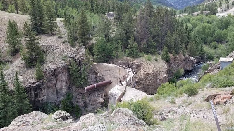
1903-1984 - Operations are sporadic. The most significant improvements occurred between 1925 and 1930 when a steam power plant, machine shop, locomotive house, concrete dam, and mill added.
2012 - The Town Site is conveyed to Hinsdale County by LKA Gold Incorporated. Stabilization and preservation efforts begin.
2013 - The Ute-Ulay Mill and Mine Site is donated to Hinsdale County, completing a transfer of 12 acres, including the original boarding house, blacksmith shop, headframe, assay lab, powerhouse and mill buildings. Some of these structures date back to the late 1800s, when 250-300 miners worked the rich galena (silver) veins.
Present & Future - From treasure chest to treasured place, the Ute Ulay is the "Mine that Made and will Continue to Make Lake City."
Captions
1. Miners at the Ute-Ulay Mine, circa 1900.
-Photo courtesy of Hinsdale County Historical Society
2. "The first patented mining claim in Hinsdale County...one of the largest, historic producers of silver and lead in Colorado... the greatest influence on the economy and existence of the historic town located 3-miles upstream ... the Ute Ulay is the Mine.
- Lake City Times, 1899
3. The dam and water flume provided water needed to operate the Ute-Ulay Mill, circa 1900.
-Photo courtesy of Hinsdale County Historical Society
Thank you for your time, vision and financial support to protect, stabilize and restore the Ute-Ulay.
Erected by U.S. Department of the Interior - Alpine Loop.
Topics. This historical marker is listed in this topic list: Industry & Commerce. A significant historical date for this entry is January 30, 1879.
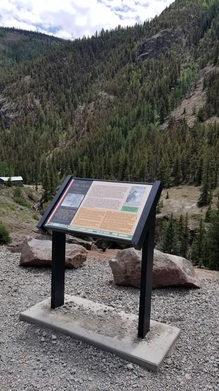
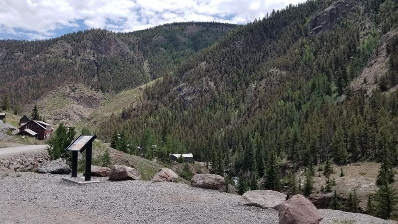
Location. 38° 1.281′ N, 107° 22.711′ W. Marker is near Lake City, Colorado, in Hinsdale County. Marker is on County Highway 20, on the left when traveling west. The marker is located in the old mining town of Henson along the Alpine Loop about 4 miles west of Lake City. Touch for map. Marker is in this post office area: Lake City CO 81235, United States of America. Touch for directions.
Other nearby markers. At least 8 other markers are within 13 miles of this marker, measured as the crow flies. Troops Enroute (a few steps from this marker); Lee's Legacy (approx. 5 miles away); Rose Lime Kiln (approx. 7.1 miles away); Tellurium or Was It Whitecross (approx. 8.3 miles away); A Town with Three Names (approx. 8.3 miles away); White Death (approx. 8˝ miles away); Bonanza Empire Chief (approx. 8˝ miles away); Animas Forks (approx. 12.2 miles away). Touch for a list and map of all markers in Lake City.
Also see . . . Alpine Loop.
The Alpine Loop is truly a backcountry experience. Make sure someone knows your travel plans and do your homework before you start your trip. Make sure you have plenty of water, food and fuel to make it to your destination. Electronics and wireless devises DO NOT work in most places on the Alpine Loop. It is recommended that you download or print hard copy maps prior to your trip. The Alpine Loop Backcountry Byway is a rugged 4x4 road that winds through the spectacular scenery of the San Juan Mountains, connecting Lake City, Silverton, and Ouray. The Alpine Loop byway traverses passes up to 12,800 feet while showcasing old mines, ghost towns, natural wonders, beautiful wildflowers, and abundant wildlife. Alpine Loop is an avenue for exploring nature and history amidst thrilling views and stunning geography. Tackling the loop in its entirety is easily an all-day experience event. However, the main loop is only part of the experience; miles of designated side routes allow visitors to either take a short tour or extend their trip to multiple days. For more information, please contact the Gunnison Field Office.(Submitted on July 24, 2021, by James Hulse of Medina, Texas.)
Credits. This page was last revised on July 25, 2021. It was originally submitted on July 24, 2021, by James Hulse of Medina, Texas. This page has been viewed 216 times since then and 22 times this year. Photos: 1, 2, 3, 4, 5. submitted on July 25, 2021, by James Hulse of Medina, Texas.
