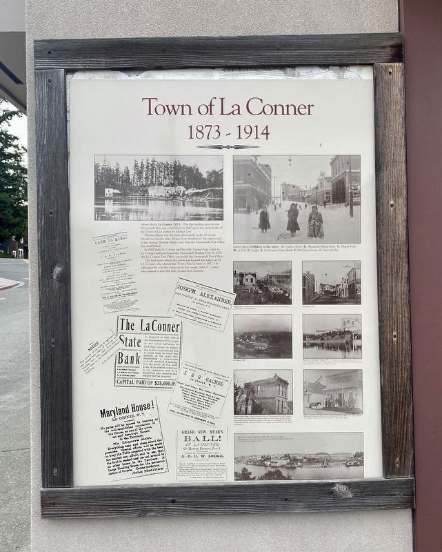
Town of La Conner 1873-1914
Thomas Hayes was the next Swinomish trader of record. He arrived shortly after Alonzo Low abandoned the region and it was during Thomas Haye's time that the Swinomish Post Office was established.
In 1869 John S. Conner and his wife, Louisa Ann, came to La Conner and purchased the Swinomish Trading Post. In 1870 the La Conner Post Office succeeded the Swinomish Post Office.
The land upon which the town was located was taken up by J.J. Conner who platted the Town of La Conner in 1872. He subsequently sold the town site to his cousin, John S. Conner who named it after his wife, Louisa Ann Conner.
Topics. This historical marker is listed in these topic lists: Industry & Commerce • Settlements & Settlers. A significant historical year for this entry is 1873.
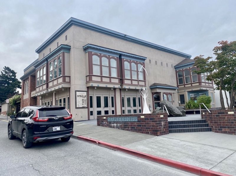
Location. 48° 23.332′ N, 122° 29.895′ W. Marker is in La Conner, Washington, in Skagit County. Marker is at the intersection of Commercial Street and First Street, on the right when traveling west on Commercial Street. Touch for map. Marker is at or near this postal address: 104 Commercial Street, La Conner WA 98257, United States of America. Touch for directions.
Other nearby markers. At least 8 other markers are within 7 miles of this marker, measured as the crow flies. Magnus Anderson Log Cabin (within shouting distance of this marker); Old Time Skagit River Indian Canoes (within shouting distance of this marker); Former Grange Hall (about 400 feet away, measured in a direct
Also see . . . La Conner — Thumbnail History (HistoryLink.org).
"Located in western Skagit County, La Conner was once county seat and most populous town in the Skagit Valley. Bounded by farmland, the Swinomish Channel and the Swinomish Indian Reservation, it was an up-to-date town and lively terminus for river steamers bringing timber and lumber down from the upper Skagit, and port for farm commodities grown in the surrounding delta flatlands. Its brief county seat status was lost to Mount Vernon in 1883 and a series of economic misfortunes caused the town to slowly fade and be left in the backwaters for decades...."(Submitted on July 25, 2021.)

Credits. This page was last revised on July 25, 2021. It was originally submitted on July 25, 2021, by Andrew Ruppenstein of Lamorinda, California. This page has been viewed 168 times since then and 25 times this year. Photos: 1, 2, 3, 4. submitted on July 25, 2021, by Andrew Ruppenstein of Lamorinda, California.


