Burns Park in Ann Arbor in Washtenaw County, Michigan — The American Midwest (Great Lakes)
A Second Shopping District
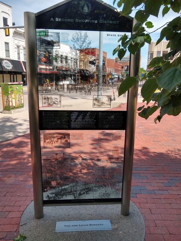
Town and gown came together on State Street after 1870 to create Ann Arbor's second shopping district. Grocers, barbers, and tailors served both communities, while billiard parlors, dining halls, bathhouses, and bookstores catered to the growing student population. John Nickels Meat Market, added to the front of his home, was one of the early commercial buildings transforming the neighborhood. After 1890 the streetcar linked Main Street and campus, and several downtown businesses added branches here.
J. J. Quarry opened a drugstore in his new building at State and North University in 1898. It specialized in supplies for nearby university hospitals and the medical and dental schools, as well as the offices of doctors and dentists over neighboring shops.
James Foster's House of Art, which opened in 1906 featuring Arts and Crafts gifts, drew an affluent and sophisticated clientele to State Street. In 1915 Tom Nickels replaced his father's meat market with the city's first shopping arcade. The terra-cotta building's bank, luxury shops, and post office branch symbolized State Street's twentieth-century identity as a fashionable shopping destination. That market was challenged in the 1960s by shopping malls, the lifting of UM's ban on cars for undergraduates, and changing tastes of the Vietnam War era. By the end of the century, chain stores, coffeehouses, restaurants, and sportswear shops replaced many older businesses. Books and music remained staples: Tome and Louis Borders opened their first bookstore here in 1971.
Erected by Ann Arbor Historical Foundation.
Topics. This historical marker is listed in this topic list: Industry & Commerce. A significant historical year for this entry is 1870.
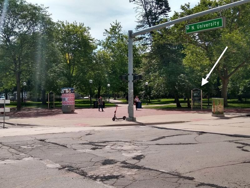
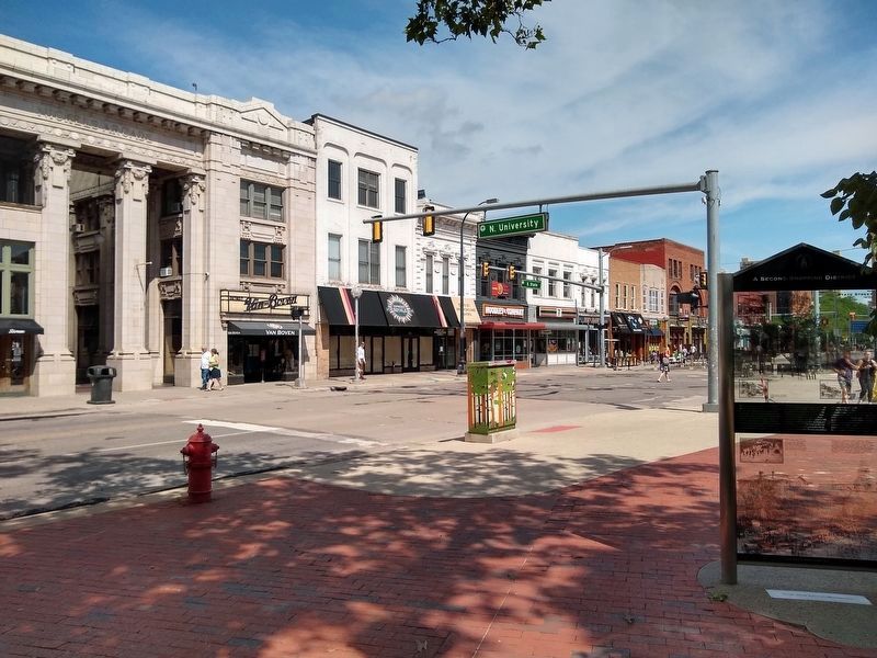
Location. 42° 16.701′ N, 83° 44.435′ W. Marker is in Ann Arbor, Michigan, in Washtenaw County. It is in Burns Park. Marker is at the intersection of South State Street and North University Avenue, on the right when traveling north on South State Street. Touch for map. Marker is in this post office area: Ann Arbor MI 48109, United States of America. Touch for directions.
Other nearby markers. At least 8 other markers are within walking distance of this marker. The University Expands (a few steps from this marker); Hill Auditorium (about 300 feet away, measured in a direct line); Town and Gown: Entertainment and Changing Culture (about 400 feet away); Ideation Building (about 400 feet away); The James Foster House of Art (about 500 feet away); Michigan Theatre (about 500 feet away); Uptown Theaters (about 600 feet away); From Liveries to Taxis (about 600 feet away). Touch for a list and map of all markers in Ann Arbor.
Also see . . .
Photos courtesy of the Bentley Historical Library
2. A Second Shopping District Marker — top images
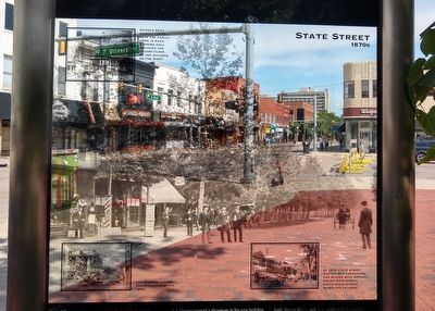
Top image: State Street 1870s
Top left inset: Nickels Meat Market (1870s) with the family home in back. A dining hall occupied the second floor of the building.
Bottom left inset: The Nickels Arcade under construction, 1915.
Bottom right inset: By 1915 State Street was solidly commercial and buzzed with activity. Unlike Main Street, South State Street never had saloons.
Photos courtesy of the Bentley Historical Library
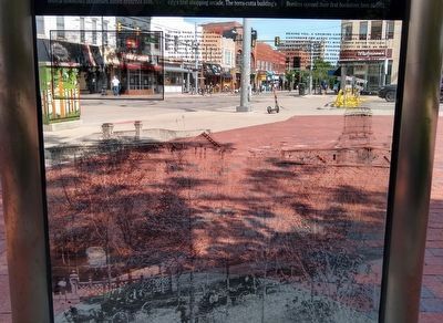
3. A Second Shopping District Marker — bottom images
Bottom image: Behind you, a growing campus provided more customers for State Street stores. The elaborate gateway (lower left) was added after the completion of the law building (left) in 1863. By 1865 UM enrollment topped 1,200, making it the largest university in the country and, according to one Harvard professor, offering "the best education this continent affords." The elegant University Hall (right) opened in 1873.
Top left inset: Otto's band, the first to have played "The Victors," marched west on North University on Memorial Day 1914. By then State Street car tracks had been laid and commercial buildings had replaced houses.
Top left inset: Otto's band, the first to have played "The Victors," marched west on North University on Memorial Day 1914. By then State Street car tracks had been laid and commercial buildings had replaced houses.
Credits. This page was last revised on February 12, 2023. It was originally submitted on July 27, 2021, by Joel Seewald of Madison Heights, Michigan. This page has been viewed 106 times since then and 8 times this year. Photos: 1, 2, 3, 4, 5. submitted on July 27, 2021, by Joel Seewald of Madison Heights, Michigan.
