Near Stevensville in King and Queen County, Virginia — The American South (Mid-Atlantic)
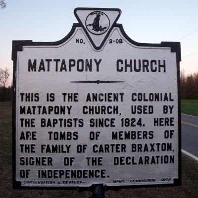
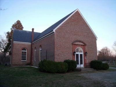
Mattapony Church
Erected 1928 by Conservation & Development Commission. (Marker Number OB-3.)
Topics and series. This historical marker is listed in this topic list: Churches & Religion. In addition, it is included in the Virginia Department of Historic Resources (DHR) series list. A significant historical year for this entry is 1824.
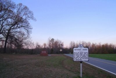
Location. 37° 43.076′ N, 76° 53.168′ W. Marker is near Stevensville, Virginia, in King and Queen County. Marker is on The Trail (Virginia Route 14) 0.1 miles north of Mantapike Landing Road, on the left when traveling north. Touch for map. Marker is in this post office area: Stevensville VA 23161, United States of America. Touch for directions.
Other nearby markers. At least 8 other markers are within 4 miles of this marker, measured as the crow flies. Death of Col. Dahlgren (approx. 2.2 miles away); Newington (approx. 2.7 miles away); State Fish Hatchery (approx. 2.9 miles away); James Horace Carter Lynched (approx. 3.2 miles away); World Wars I and II Memorial (approx. 3.4 miles away); King and Queen County Confederate Monument (approx. 3.4 miles away); County Clerks Office Site (approx. 3.4 miles away); Trice Mill Stones (approx. 3.4 miles away). Touch for a list and map of all markers in Stevensville.
Also see . . . Mattaponi Church. National Register of Historic Places (Submitted on November 9, 2021.)
Credits. This page was last revised on November 9, 2021. It was originally submitted on April 10, 2009, by Bernard Fisher of Richmond, Virginia. This page has been viewed 1,005 times since then and 20 times this year. Photos: 1, 2, 3. submitted on April 10, 2009, by Bernard Fisher of Richmond, Virginia.


