Marker Logo HMdb.org THE HISTORICAL
MARKER DATABASE
“Bite-Size Bits of Local, National, and Global History”
Wayne in Wayne County, West Virginia — The American South (Appalachia)
 

The Grist Mill at Wayne

— 1828 —


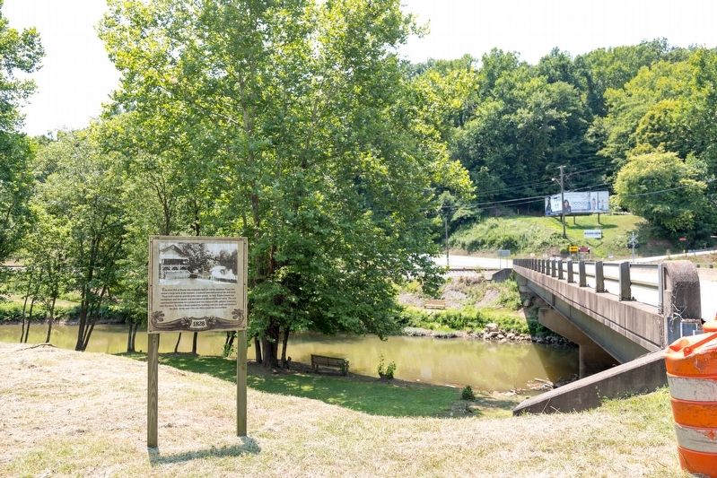
The Grist Mill at Wayne Marker image. Click for full size.
Photographed By J. J. Prats, July 23, 2021
1. The Grist Mill at Wayne Marker
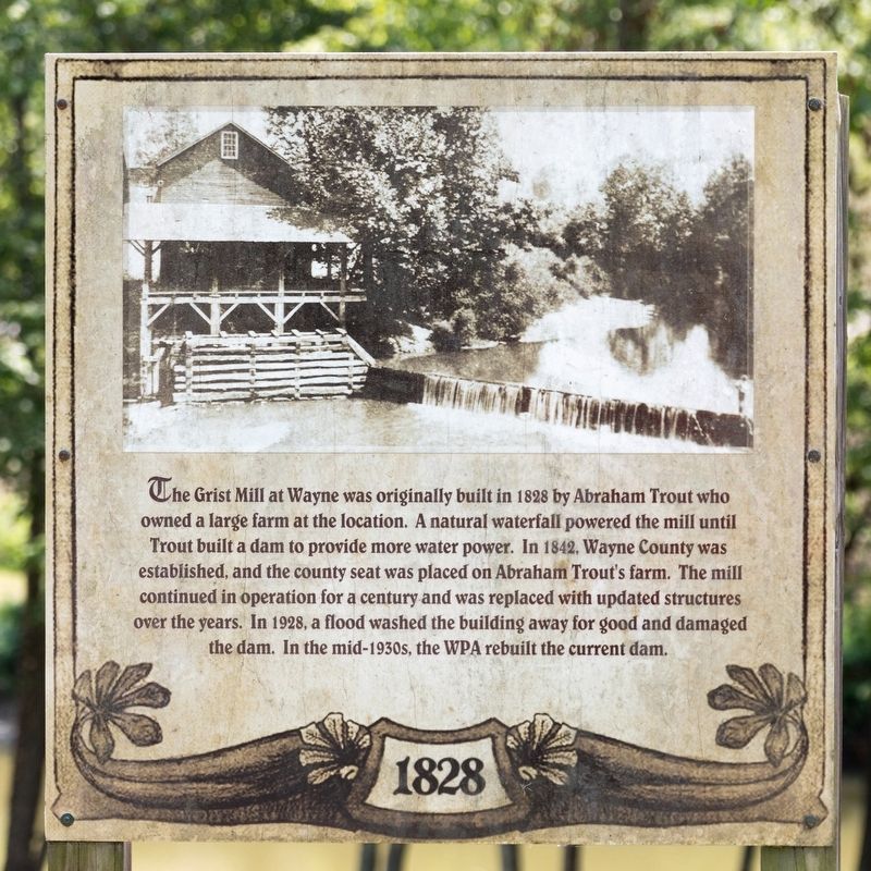
Inscription. The Grist Mill at Wayne was originally built in 1828 by Abraham Trout who owned a large farm at the location. A natural waterfall powered the mill until Trout built a dam to provide more water power. In 1842, Wayne County was established, and the county seat was placed on Abraham Trout’s farm. The mill continued in operation for a century and was replaced with updated structures over the years. In 1928, a flood washed the building away for good and damaged the dam. In the mid-1930s, the WPA rebuilt the current dam.
 
Topics. This historical marker is listed in this topic list: Industry & Commerce. A significant historical year for this entry is 1828.
 
Location. 38° 13.525′ N, 82° 26.705′ W. Marker is in Wayne, West Virginia, in Wayne County. Marker is at the intersection of Central Avenue (West Virginia Route 152) and Mose Asbury Road, on the left when traveling south on Central Avenue. Touch for map. Marker is in this post office area: Wayne WV 25570, United States of America. Touch for directions.
 
Other nearby markers. At least 8 other markers are within walking distance of this marker. Wayne County Veteran's Association, Inc. Memorial (approx. ¼ mile away); Amanda Smith (approx. ¼ mile away); Cool Hand Luke (approx. 0.3 miles away); Milton J. Ferguson (approx. 0.3 miles away); Hendricks Street (approx. 0.3 miles away); Wayne County Courthouse
Paid Advertisement
Click on the ad for more information.
Please report objectionable advertising to the Editor.
Click or scan to see
this page online
(approx. 0.3 miles away); World War Memorial (approx. 0.3 miles away); Wayne Was Home to Two Confederate Colonels (approx. 0.3 miles away). Touch for a list and map of all markers in Wayne.
 
The Grist Mill at Wayne Marker image. Click for full size.
Photographed By J. J. Prats, July 23, 2021
2. The Grist Mill at Wayne Marker
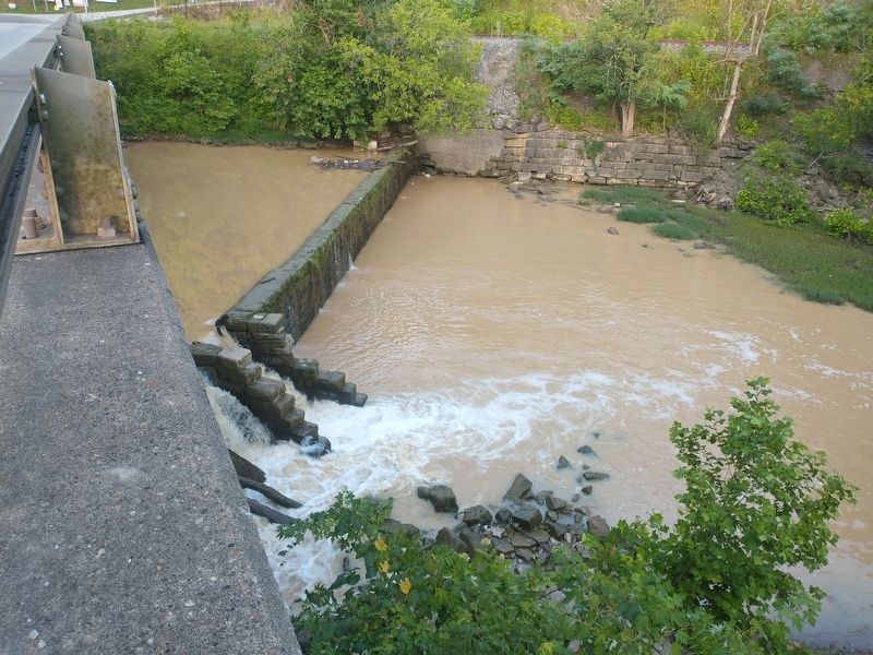
The Grist Mill Dam image. Click for full size.
Photographed By Craig Doda, July 22, 2022
3. The Grist Mill Dam
On the other side of the bridge.
 
 
Credits. This page was last revised on August 29, 2022. It was originally submitted on July 30, 2021, by J. J. Prats of Powell, Ohio. This page has been viewed 235 times since then and 42 times this year. Photos:   1, 2. submitted on July 30, 2021, by J. J. Prats of Powell, Ohio.   3. submitted on August 12, 2022, by Craig Doda of Napoleon, Ohio.
Share this page.  
Share on Tumblr
m=178260

CeraNet Cloud Computing sponsors the Historical Marker Database.
This website earns income from purchases you make after using our links to Amazon.com. We appreciate your support.
Paid Advertisement
May. 11, 2024