St. Andrews West in Stormont, Dundas and Glengarry United Counties, Ontario — Central Canada (North America)
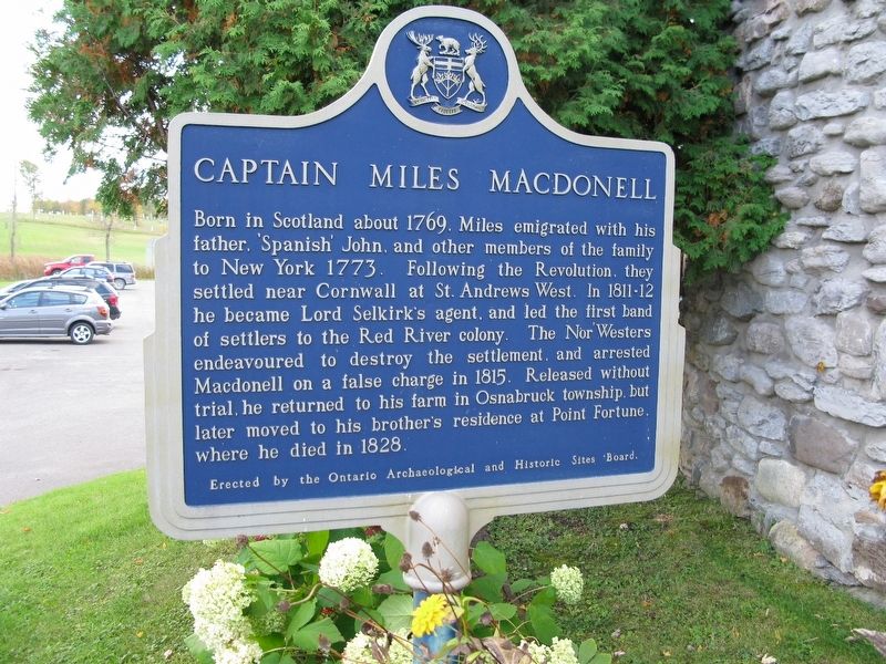
Captain Miles Macdonell
Erected by Ontario Archaeological and Historic Sites Board.
Topics. This historical marker is listed in this topic list: Settlements & Settlers. A significant historical year for this entry is 1769.
Location. 45° 5.749′ N, 74° 47.821′ W. Marker is in St. Andrews West, Ontario, in Stormont, Dundas and Glengarry United Counties. Marker is on Provincial Highway 138 close to County Highway 18, on the right when traveling east. Touch for map. Marker is in this post office area: St Andrews West ON K0C 1S0, Canada. Touch for directions.
Other nearby markers. At least 8 other markers are within 10 kilometers of this marker, measured as the crow flies. Mille Roches (approx. 7.5 kilometers away); The Stuart House / La Maison Stuart (approx. 8.2 kilometers away); Forbes Memorial Reading Room / Salle de Lecture Commémorative Forbes (approx. 8.2 kilometers away); Sandtown Advent Christian Church (approx. 8.2 kilometers away); S.S. #17 - Roxborough Township School / S.S. #17 - L'Ecole du Canton de Roxborough (approx. 8.2 kilometers away); MacLeod Log House / Maison en Bois MacLeod (approx. 8.2 kilometers away); Ernest (Ernie) McDonald Blacksmith Shop / Forgeron (approx. 8.2 kilometers away); Lost Villages of the St Lawrence (approx. 8.3 kilometers away).
Credits. This page was last revised on August 10, 2021. It was originally submitted on August 1, 2021, by Robert Rusaw of Massena, New York. This page has been viewed 71 times since then and 7 times this year. Photo 1. submitted on August 1, 2021, by Robert Rusaw of Massena, New York. • Bill Pfingsten was the editor who published this page.
