Welch in McDowell County, West Virginia — The American South (Appalachia)
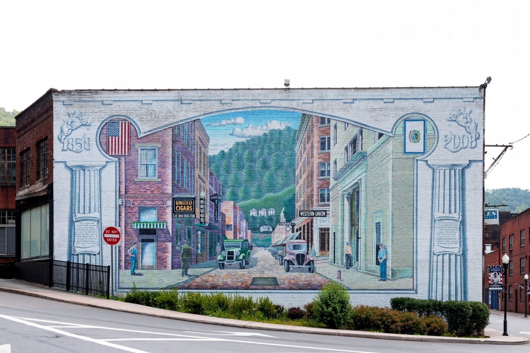
City of Welch Mural
McDowell Street, 1920’s
— 1858 – 2008 —
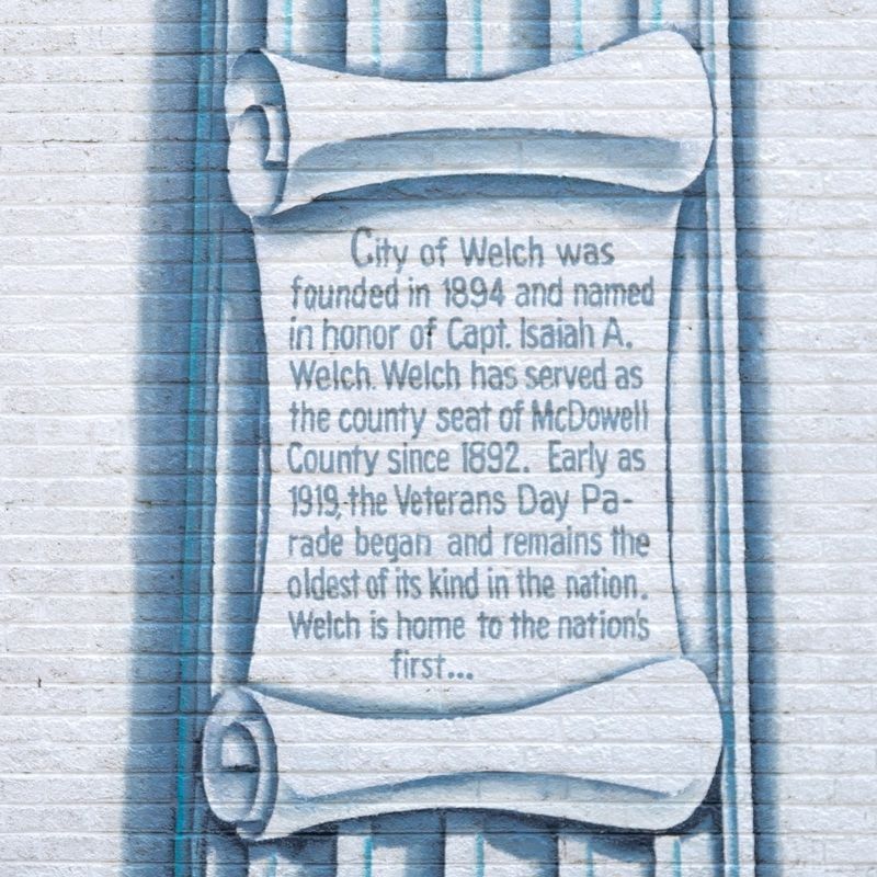
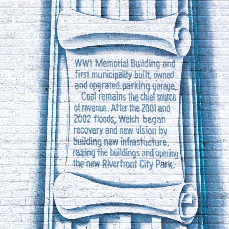
WWI Memorial Building and first municipality built, owned and operated parking garage. Coal remains the chief source of revenue. After the 2001 and 2002 floods, Welch began recovery and new Vision by building new infrastructure, razing the buildings and opening the new Riverfront City Park.
Erected 2008.
Topics. This historical marker is listed in these topic lists: Natural Resources • Notable Places. A significant historical year for this entry is 1894.
Location. 37° 26.054′ N, 81° 35.128′ W. Marker is in Welch, West Virginia, in McDowell County. Marker is at the intersection of McDowell Street (Route 16) and Wyoming Street (West Virginia Route 16), on the right when traveling south on McDowell Street. It is at the northern entrance to downtown. Touch for map. Marker is at or near this postal address: 170 McDowell St, Welch WV 24801, United States of America. Touch for directions.
Other nearby markers. At least 8 other markers are within walking distance of this marker. Heartland Corridor Project (about 300 feet away, measured in a direct line); Welch History (about 300 feet away); Marthan H. Moore Riverfront Park (about 400 feet away); Martha H. Moore Parkway (about 400 feet away); McDowell County Courthouse / Sid Hatfield (about 700 feet away); Welch (about 700 feet away); McDowell County Courthouse (about 800 feet away); Hatfield & Chambers (about 800 feet away). Touch for a list and map of all markers in Welch.
More about this marker. The mural was designed and painted by Welch artist Tom Acosta.
Credits. This page was last revised on August 2, 2021. It was originally submitted on August 2, 2021, by J. J. Prats of Powell, Ohio. This page has been viewed 171 times since then and 20 times this year. Photos: 1, 2, 3. submitted on August 2, 2021, by J. J. Prats of Powell, Ohio.


