Welch in McDowell County, West Virginia — The American South (Appalachia)
Isaiah A. Welch
— National Coal Heritage Trail —
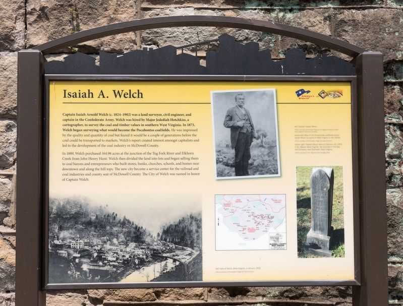
In 1889, Welch purchased 164.98 acres at the junction of the Tug Fork River and Elkhorn Creek from John Henry Hunt. Welch then divided the land into lots and began selling them to coal barons and entrepreneurs who built stores, banks, churches, schools, and homes near downtown and along the hill tops. The new city became a service center for the railroad and coal industries and county seat of McDowell County. The City of Welch was named in honor of Captain Welch.
Erected by National Coal Highway Authority and America’s Byways.
Topics. This historical marker is listed in these topic lists: Natural Resources • Political Subdivisions • Settlements & Settlers. A significant historical year for this entry is 1889.
Location. 37° 25.941′ N, 81° 35.061′ W. Marker is in Welch, West Virginia, in McDowell County. Marker is at the intersection of Wyoming Street (West Virginia Route 26) and Bank Street, on the right when traveling north on Wyoming Street. It is in the pocket park located at the southwest corner of courthouse square. Touch for map. Marker is in this post office area: Welch WV 24801, United States of America. Touch for directions.
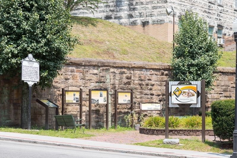
Other nearby markers. At least 8 other markers are within walking distance of this marker. Ethnic Population of McDowell County (here, next to this marker); Hatfield & Chambers (here, next to this marker); McDowell County Courthouse (here, next to this marker); Welch (a few steps from this marker); McDowell County (a few steps from this marker); McDowell County Courthouse / Sid Hatfield (a few steps from this marker); Marthan H. Moore Riverfront Park (about 500 feet away, measured in a direct line); Welch History (about 500 feet away). Touch for a list and map of all markers in Welch.
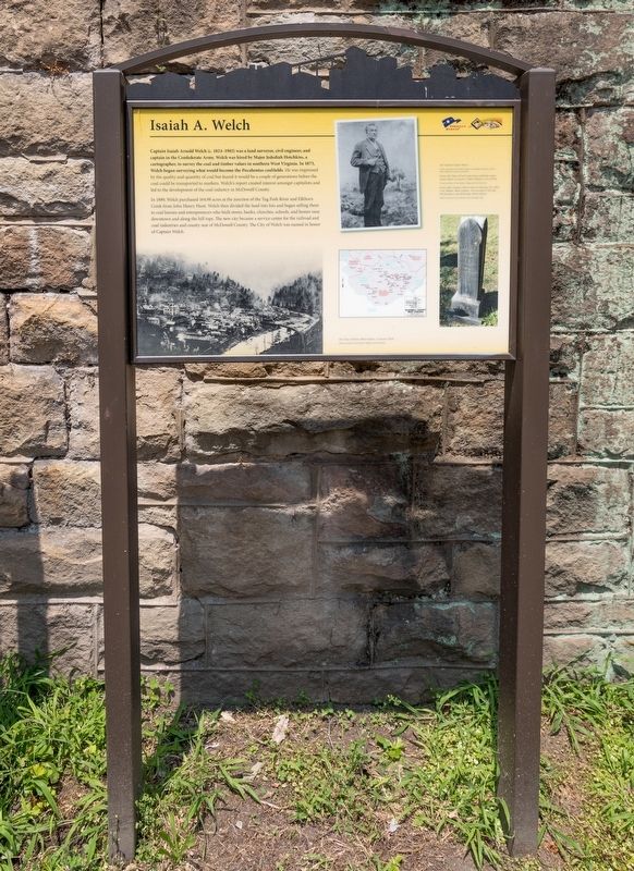
More about this marker. This interpretive panel includes four images captioned as follows, clockwise from top:
- Captain Isaiah Welch
- Captain Welch died on February 15, 1902 in St. Albans, West Virginia. He is buried in the Oak Hill Cemetery near Bramwell, West Virginia.
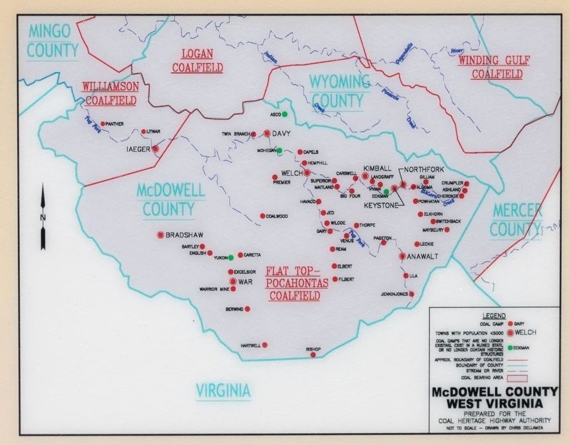
- Map of the Pocahontas coalfields where Isaiah Welch surveyed in West Virginia in the 1870s.
- View of Welch, West Virginia, in January 1903
Credits. This page was last revised on August 2, 2021. It was originally submitted on August 2, 2021, by J. J. Prats of Powell, Ohio. This page has been viewed 646 times since then and 303 times this year. Photos: 1, 2, 3, 4. submitted on August 2, 2021, by J. J. Prats of Powell, Ohio.


