Williamson in Mingo County, West Virginia — The American South (Appalachia)
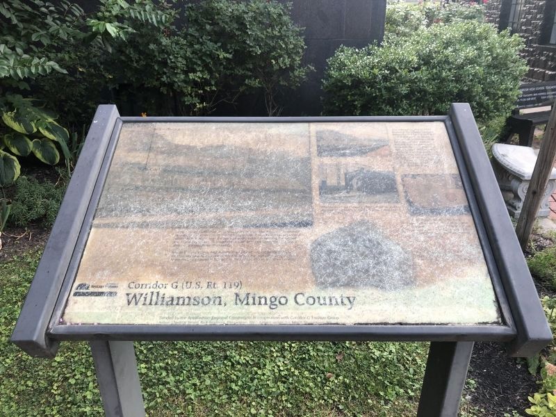
Williamson, Mingo County
Corridor G (U.S. Rt. 119)

Photographed By Devry Becker Jones (CC0), July 30, 2021
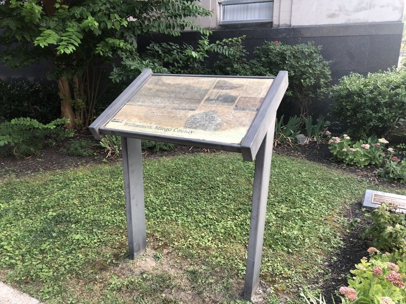
1. Williamson, Mingo County Marker
Unfortunately the marker is significantly weathered and heavily unreadable.
[Unreadable]
Mingo County's thick, high quality coals (above and below the surface) traditionally ranked it as one of West Virginia's top coal producing counties. Numerous coal camps in Mingo County housed miners and their families.
[Captions:]
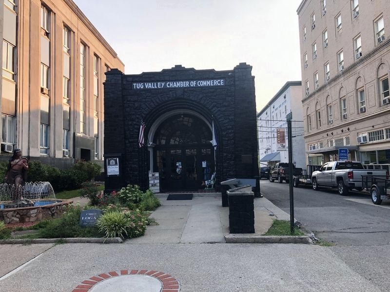
Williamson's Coal House, a 1933 tribute to coal's regional importance, is on the National Register of Historic Places.
The railroad's arrival in 1892 provided the reliable transportation needed for the coal and timber industries to boom. The Norfolk & Western (now Norfolk Southern Railroad) was the state's southern link between the Ohio River and the East Coast. Williamson's rail yard, the largest between Portsmouth, OH and Bluefield, WV, is still a key transportation link for coal, lumber and other products brought in and out of the area.
Topics. This historical marker is listed in these topic lists: Industry & Commerce • Natural Resources • Railroads & Streetcars. A significant historical year for this entry is 1933.
Location. 37° 40.374′ N, 82° 16.708′ W. Marker has been reported unreadable. Marker is in Williamson, West Virginia, in Mingo County. Marker is on East 2nd Avenue just east of Court Street, on the left when traveling west. Touch for map. Marker is at or near this postal address: 75 E 2nd Ave, Williamson WV 25661, United States of America. Touch for directions.
Other nearby markers. At least 8 other markers are within 5 miles of this location, measured as the crow flies. Chief Logan (here, next to this marker); Veterans Memorial (within shouting distance of this marker); West Virginia (Mingo County) / Kentucky (about 300 feet away, measured in a direct line); a different marker also named Williamson (about 600 feet away); Williamson and the Railroad (about 600 feet away); Williamson Historic District (about 700 feet away); The Ohio Extension (approx. 3.4 miles away); Baby’s Grave Site (approx. 4.3 miles away in Kentucky). Touch for a list and map of all markers in Williamson.
Credits. This page was last revised on August 2, 2021. It was originally submitted on August 2, 2021, by Devry Becker Jones of Washington, District of Columbia. This page has been viewed 137 times since then and 15 times this year. Photos: 1, 2, 3. submitted on August 2, 2021, by Devry Becker Jones of Washington, District of Columbia.

