Kimball in McDowell County, West Virginia — The American South (Appalachia)
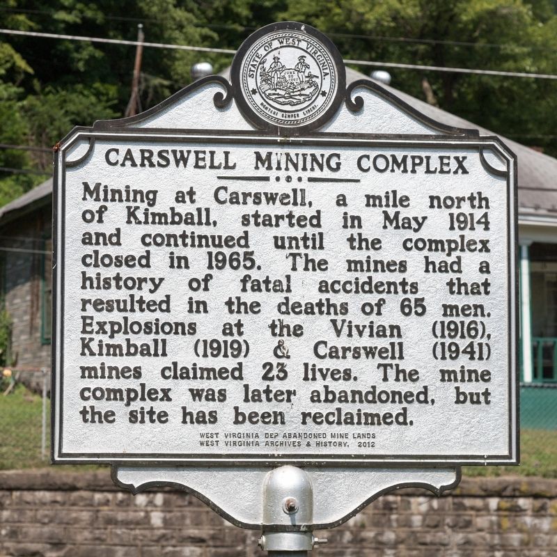
Carswell Mining Complex
Erected 2012 by West Virginia Department of Abandoned Mine Lands, and West Virginia Archives and History.
Topics and series. This historical marker is listed in these topic lists: Disasters • Industry & Commerce • Natural Resources. In addition, it is included in the West Virginia Archives and History series list. A significant historical month for this entry is May 1914.
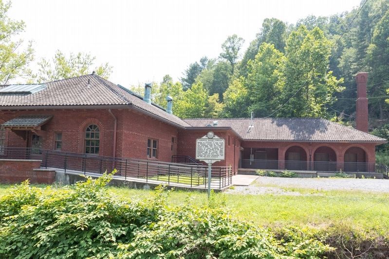
Location. 37° 25.795′ N, 81° 30.529′ W. Marker is in Kimball, West Virginia, in McDowell County. Marker is on Carswell Hollow Road (Local Route 52/06) just north of Coal Heritage Road (U.S. 52), on the left when traveling north. It is at Koppers Stores, also known as Houston Coal Company Store, in its parking lot, facing the road. Touch for map. Marker is at or near this postal address: 13 King Carswell Rd, Kimball WV 24853, United States of America. Touch for directions.
Other nearby markers. At least 8 other markers are within walking distance of this marker. Frederick Kimball (approx. ¼ mile away); Houston Company Store (approx. ¼ mile away); Kimball War Memorial (approx. ¼ mile away); African Americans (approx. ¼ mile away); 2991–2992 Floods (approx. ¼ mile away); Coal Company Town (approx. 0.4 miles away); Heartland Corridor Project (approx. 0.4 miles away); World War I Memorial (approx. 0.4 miles away). Touch for a list and map of all markers in Kimball.

Photographed By J. J. Prats, July 24, 2021
3. -13- Koppers Stores -13-
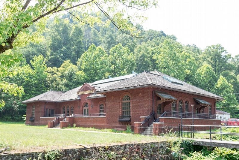
Wikipedia: The Houston Coal Company Store, also known as the Koppers Store, is an intact example of a coal company store, located at Carswell, West Virginia. The 1923 Italian Renaissance building possesses a detailed brick exterior and a clay tile roof, with skylights at the roof's peak. The store served a small mining community of Carswell, West Virginia, first for the Houston Coal Company and later for the Koppers Coal Company. Another store, now disappeared, served the upper end of the long hollow. The store is surrounded by an expansive lawn, bordered by a stream.
Credits. This page was last revised on August 3, 2021. It was originally submitted on August 3, 2021, by J. J. Prats of Powell, Ohio. This page has been viewed 375 times since then and 68 times this year. Photos: 1, 2, 3. submitted on August 3, 2021, by J. J. Prats of Powell, Ohio.

