Kimball in McDowell County, West Virginia — The American South (Appalachia)
Kimball War Memorial
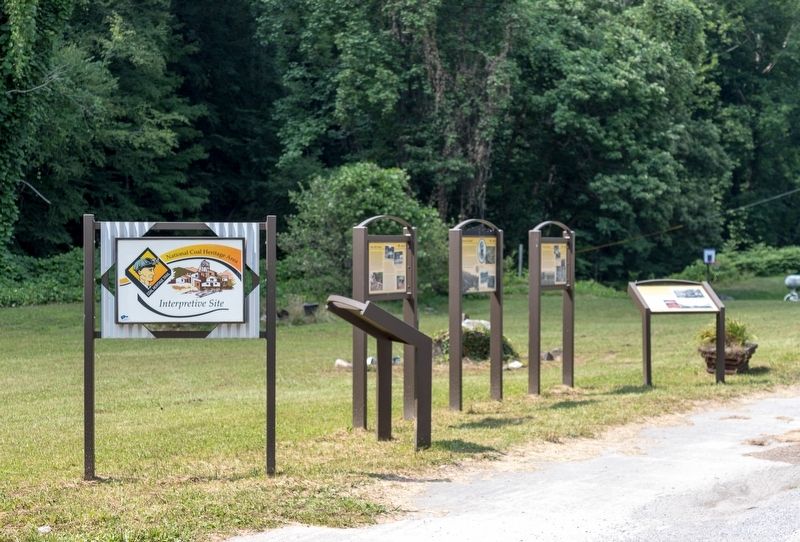
— National Coal Heritage Trail —
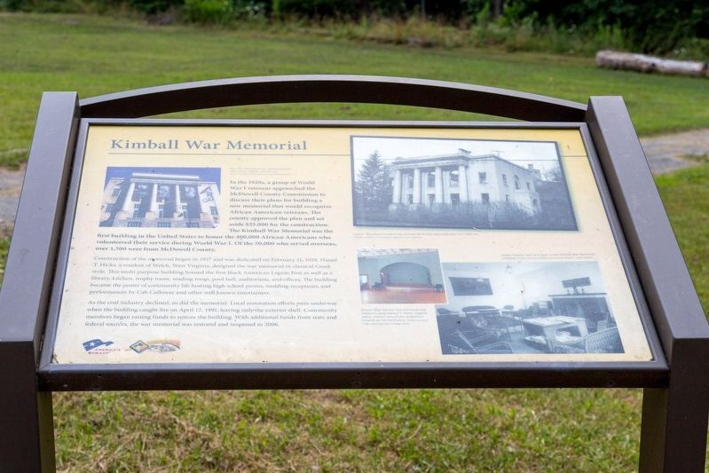
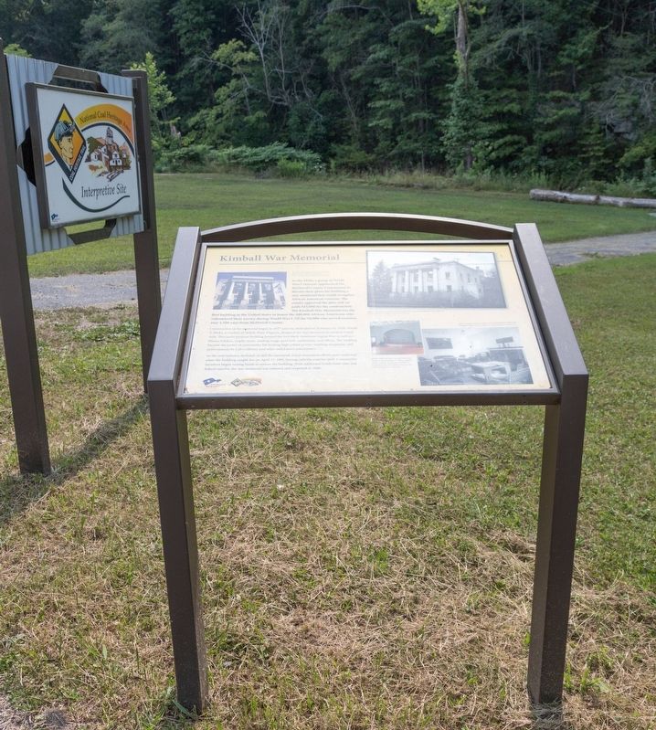
In the 1920s, a group of World War I veterans approached the McDowell County Commission to discuss their plans for building a new memorial that would recognize African American veterans. The county approved the plan and set aside $25,000 for the construction. The Kimball War Memorial was the first building in the United States to honor the 400,000 African Americans who volunteered their service during World War I. Of the 50,000 who served overseas, over 1,500 were from McDowell County.
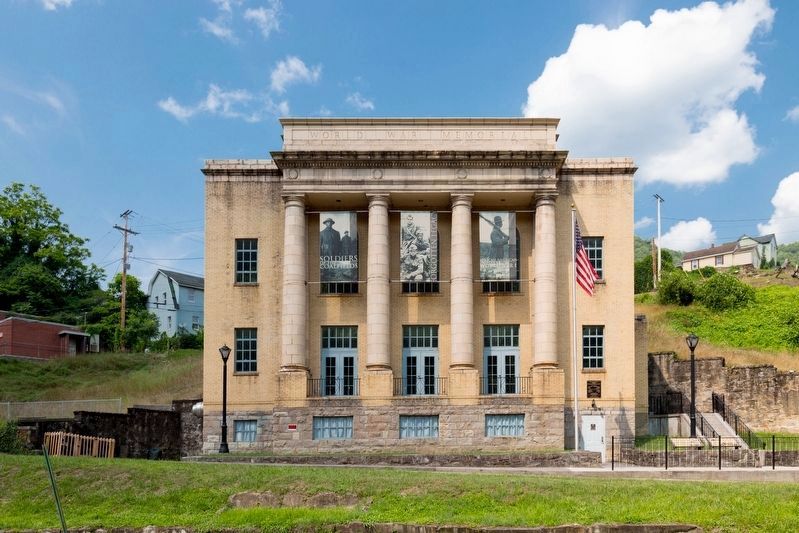
Construction of the memorial began in 1927 and was dedicated on February 11, 1928. Hassel T. Hicks, a resident of Welch, West Virginia, designed the war memorial in classical Greek style. This multi-purpose building housed the first black American Legion Post as well as a library, kitchen, trophy room, reading room, pool hall, auditorium, and offices. The building became the center of community life hosting high school proms, wedding receptions, and performances by Cab Calloway and other well known entertainers.
As the coal industry declined, so did the memorial. Local restoration efforts were underway when the building caught fire on April 12, 1991, leaving only the exterior shell. Community members began raising funds to restore the building. With additional funds from state and federal sources, the war memorial was restored and reopened in 2006.
Erected by National Coal Highway Authority and America’s Byways.
Topics. This historical marker and memorial is listed in these topic lists: Landmarks • War, World I. A significant historical date for this entry is February 11, 1928.
Location. 37° 25.589′ N, 81° 30.437′ W. Marker is in Kimball, West Virginia, in McDowell County. Marker is on Main Street (U.S. 52) 0.1 miles south of Lavania Street, on the right when traveling south. Touch for map. Marker is in this post office area: Kimball WV 24853, United States of America. Touch for directions.
Other nearby markers. At least 8 other markers are within walking distance of this marker. African Americans (here, next to this marker); 2991–2992 Floods (here, next to this marker); Frederick Kimball (here, next to this marker); Houston Company Store (here, next to this marker); Coal Company Town (about 600 feet away, measured in a direct line); Heartland Corridor Project (about 600 feet away); World War I Memorial (about 600 feet away); Carswell Mining Complex (approx. ¼ mile away). Touch for a list and map of all markers in Kimball.
More about this memorial. This interpretive panel includes four photographs. Clockwise from top left, they are captioned as follows:
- The memorial’s four pillars stand for faith, home, charity, and service.
- The exterior shell of the Kimball World War Memorial after the 1991 fire.
- Interior view of a room in the Kimball War Memorial.
- After the fire, the memorial was restored using Hassel T. Hicks’s original plans. Interior view of the auditorium located on the third story.
Credits. This page was last revised on August 4, 2021. It was originally submitted on August 4, 2021, by J. J. Prats of Powell, Ohio. This page has been viewed 232 times since then and 30 times this year. Photos: 1, 2, 3, 4. submitted on August 4, 2021, by J. J. Prats of Powell, Ohio.


