Charleston in Kanawha County, West Virginia — The American South (Appalachia)
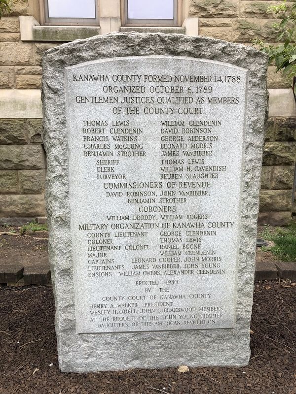
Kanawha County Formed November 14, 1788

Photographed By Devry Becker Jones (CC0), July 31, 2021
1. Kanawha County Formed November 14, 1788 Marker
Organized October 6, 1789
Gentlemen justices qualified as members of the county court
Commissioners of Revenue
David Robinson John VanBibber Benjamin Strothers
Coroners
William Droddy William Rogers
Military Organization of Kanawha County
County Lieutenant George Clendenin Colonel Thomas Lewis Lieutenant Colonel Daniel Boone Major William Clendenin Captains Leonard Cooper, John Morris Lieutenants James VanBibber, John Young Ensigns William Owens, Alexander Clendinen
Erected 1930 by County Court of Kanawha County at the request of the John Young Chapter, Daughters of the American Revolution.
Topics and series. This historical marker is listed in these topic lists: Government & Politics • Political Subdivisions . In addition, it is included in the Daughters of the American Revolution series list. A significant historical date for this entry is October 6, 1789.
Location. 38° 21.074′ N, 81° 38.315′ W. Marker is in Charleston, West Virginia, in Kanawha County. Marker is at the intersection of Virginia Street East and Court Street, on the right when traveling east on Virginia Street East. Touch for map. Marker is at or near this postal address: 409 Virginia St E, Charleston WV 25301, United States of America. Touch for directions.
Other nearby markers. At least 8 other markers are within walking distance of this marker. Victims of July 19, 1961 Flood (a few steps from this marker); Charleston (about 400 feet away, measured in a direct line); Military Occupation (about 400 feet away); Presidential Presence (about 400 feet away); Kanawha County Public Library (approx. 0.2 miles away); Temple Israel - 1873 (approx. Ό mile away); The New Deal In Your Community (approx. Ό mile away); State Capitol Annex (approx. Ό mile away). Touch for a list and map of all markers in Charleston.

Photographed By Devry Becker Jones (CC0), July 31, 2021
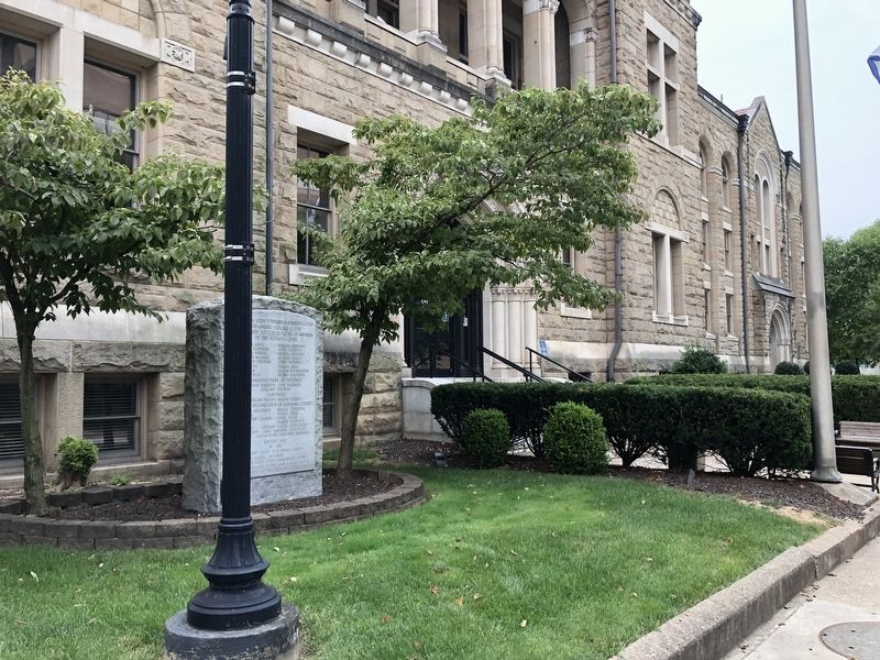
2. Kanawha County Formed November 14, 1788 Marker
Credits. This page was last revised on August 4, 2021. It was originally submitted on August 4, 2021, by Devry Becker Jones of Washington, District of Columbia. This page has been viewed 246 times since then and 32 times this year. Photos: 1, 2. submitted on August 4, 2021, by Devry Becker Jones of Washington, District of Columbia.