Pelahatchie in Rankin County, Mississippi — The American South (East South Central)
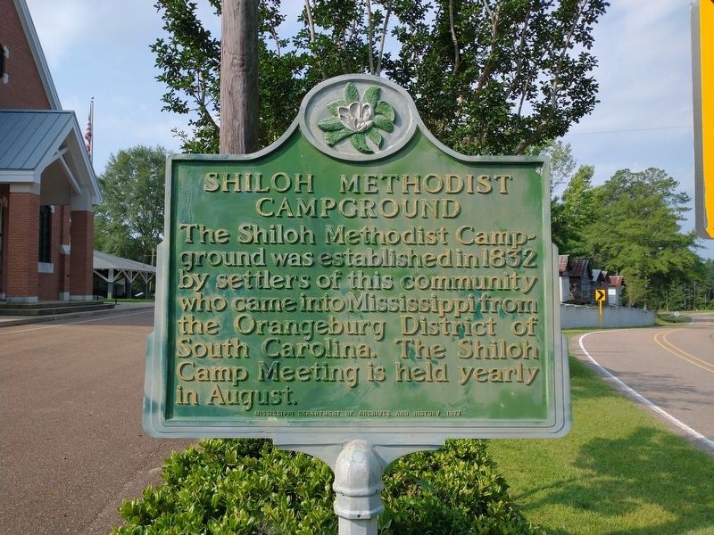
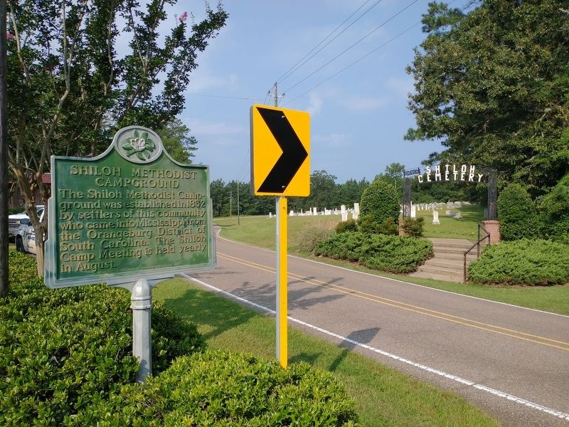
Shiloh Methodist Campground
Erected 1977 by Mississippi Department of Archives and History.
Topics. This historical marker is listed in these topic lists: Churches & Religion • Settlements & Settlers. A significant historical year for this entry is 1832.
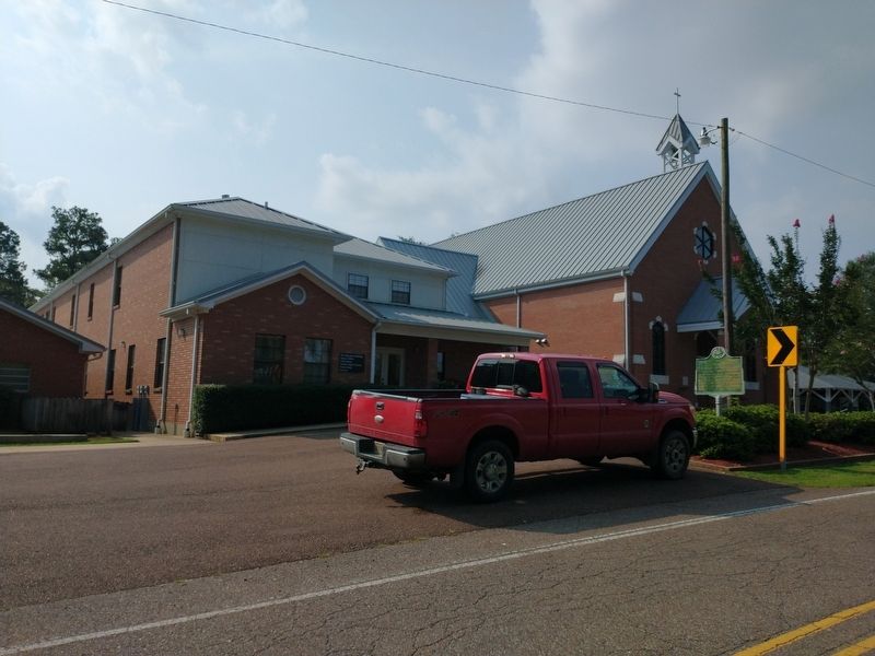
Location. 32° 14.194′ N, 89° 49.952′ W. Marker is in Pelahatchie, Mississippi, in Rankin County. Marker is on Shiloh Road, 0.1 miles south of Old Bugg Road, on the right when traveling north. Touch for map. Marker is in this post office area: Pelahatchie MS 39145, United States of America. Touch for directions.
Other nearby markers. At least 8 other markers are within 10 miles of this marker, measured as the crow flies. Centenary College (approx. 5 miles away); Rubin Lacy (approx. 5.7 miles away); Smith County Jamboree (approx. 8.4 miles away); Choctaw Line (approx. 8.9 miles away); Rankin County Courthouses (approx. 9.4 miles away); Rankin County War Memorial (approx. 9.4 miles away); Town Square (approx. 9.4 miles away); Rankin County Confederate Monument (approx. 9.4 miles away).
Credits. This page was last revised on August 7, 2021. It was originally submitted on August 5, 2021, by Tom Bosse of Jefferson City, Tennessee. This page has been viewed 179 times since then and 30 times this year. Photos: 1, 2, 3. submitted on August 5, 2021, by Tom Bosse of Jefferson City, Tennessee. • Bernard Fisher was the editor who published this page.


